Tour05 Day 28
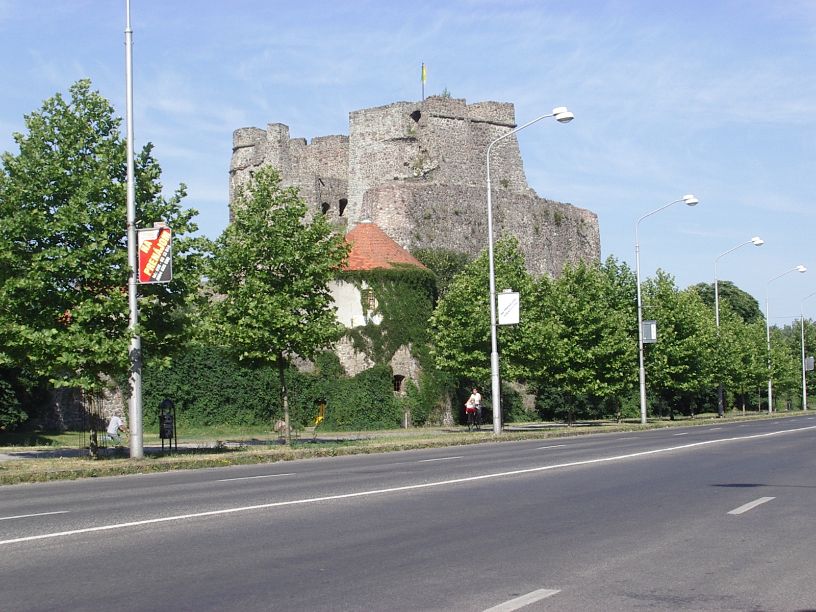
I thought Levice was a new city
until I rode by this castlle ruin on my
way out of town.
I thought Levice was a new city
until I rode by this castlle ruin on my
way out of town.
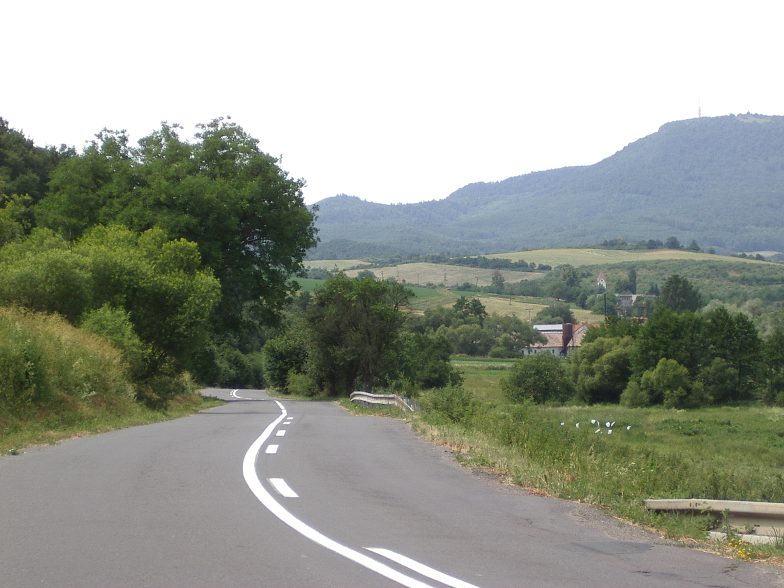
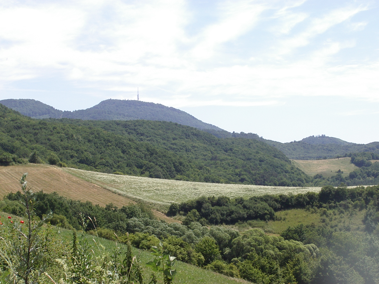
Looking back form most of the way down 525
Banksa Stavinica is up near the antenna on the hill
Levice is in a river valley, but Banksa Stavinica is in the mountains. My map shows it as being in a valley, but it turned out that that mountain valley is a LOT higher than this river valley. Moreover, when coming back to Levice, I picked a route that looked like it was fairly flat, and it turned out to be hillier, and steeper, than the Blue Ridge Parkway.
When I got back here, after spending 8 hours on the road riding 100 km that I'd estimate at having about a mile of vertical and maximum slopes of 12%, I decided that two abusive days in a row were not what my body needed, and I stopped. If I had kept to my original plan, it would have been another 11 hour day. Hopefully, my ride tomorrow will be shorter than my ride yesterday, probably by about an hour, and I'll get back to Gyor without committing further body abuse.
The first real climb
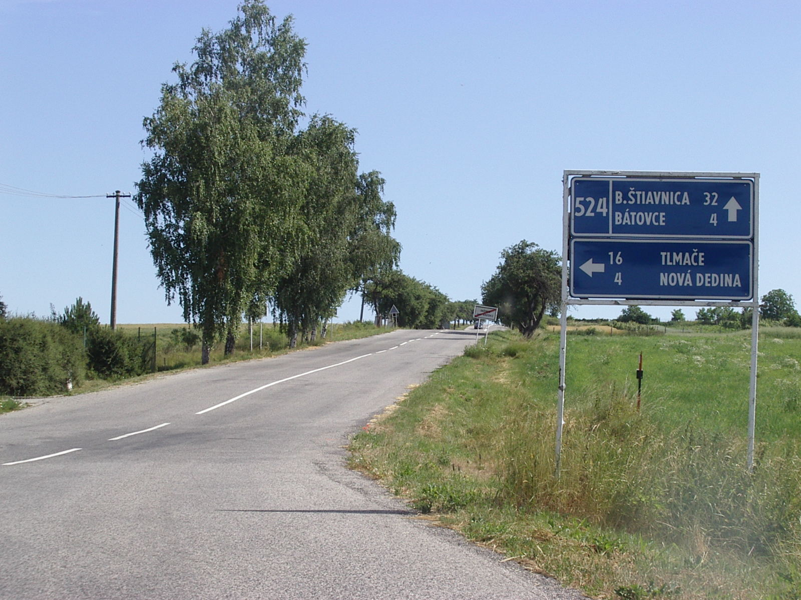
I didn't sleep well last night, and, this morning, I could really feel the effects of yesterday's long ride. When I started riding, I was very gentle to my body, and since I could route flexibly today, I let my fatigued muscles set the pace for me. That worked and, when I needed to climb seriously about 8 km from Levice, my body responded well. The road, 51, from here to that point was rolling hills. The next road, 524, started with a steep climb and then settled down to more rolling hills, but steeper ones.

The climb before the valley
Riding up the creek
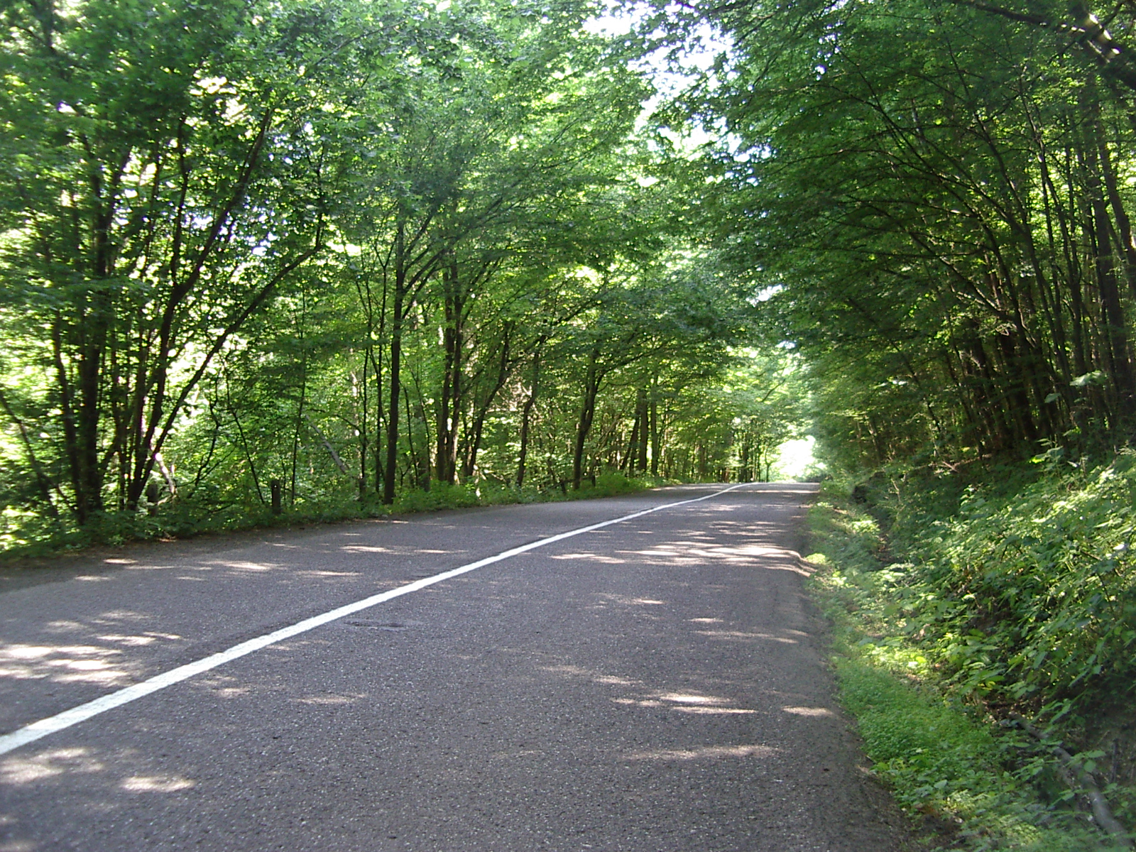
524 went through a pretty village, then after about 10 km climbed over a ridge - 10% grade there - and went down into a valley. For the next 20 km, it climbed steadily but not steeply up that valley, running along side a creek. That was nice riding!
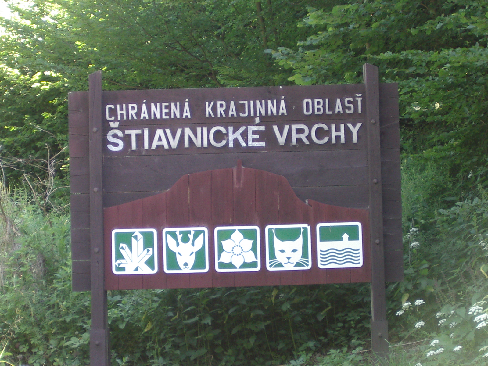
Entering the National Park
This is my second Sloavkian National
Park
15 km from Banksa Stavinica - there was a sign - the road entered a national park. It started climbing steeply almost immediately and kept climbing steeply - 6 to 12% grade - for most of the next 9 km. Then, for the last 6 km, it descended into a valley and went up and down steeply until the place where it went down into Banksa Stavinica. That down turned into very steep descents on cobblestone. Those descents were so steep that I was reluctant to go down them because I knew I'd have to push my loaded bike back up them.
About half an hour and 3 km into the climb
The road goes through the saddle to the left of the antenna
I met a group of four Swedish bicycle tourists about a km before Banksa Stavinica. They were resting and presumably recovering from that hard climb. They had started from Budapest and were riding back to Sweden in two weeks. I think they were reconsidering their routing in view of the steep Slovakian road they had just ridden up ;-)! When I rode on, they were behind me, but they didn't come down into the town.
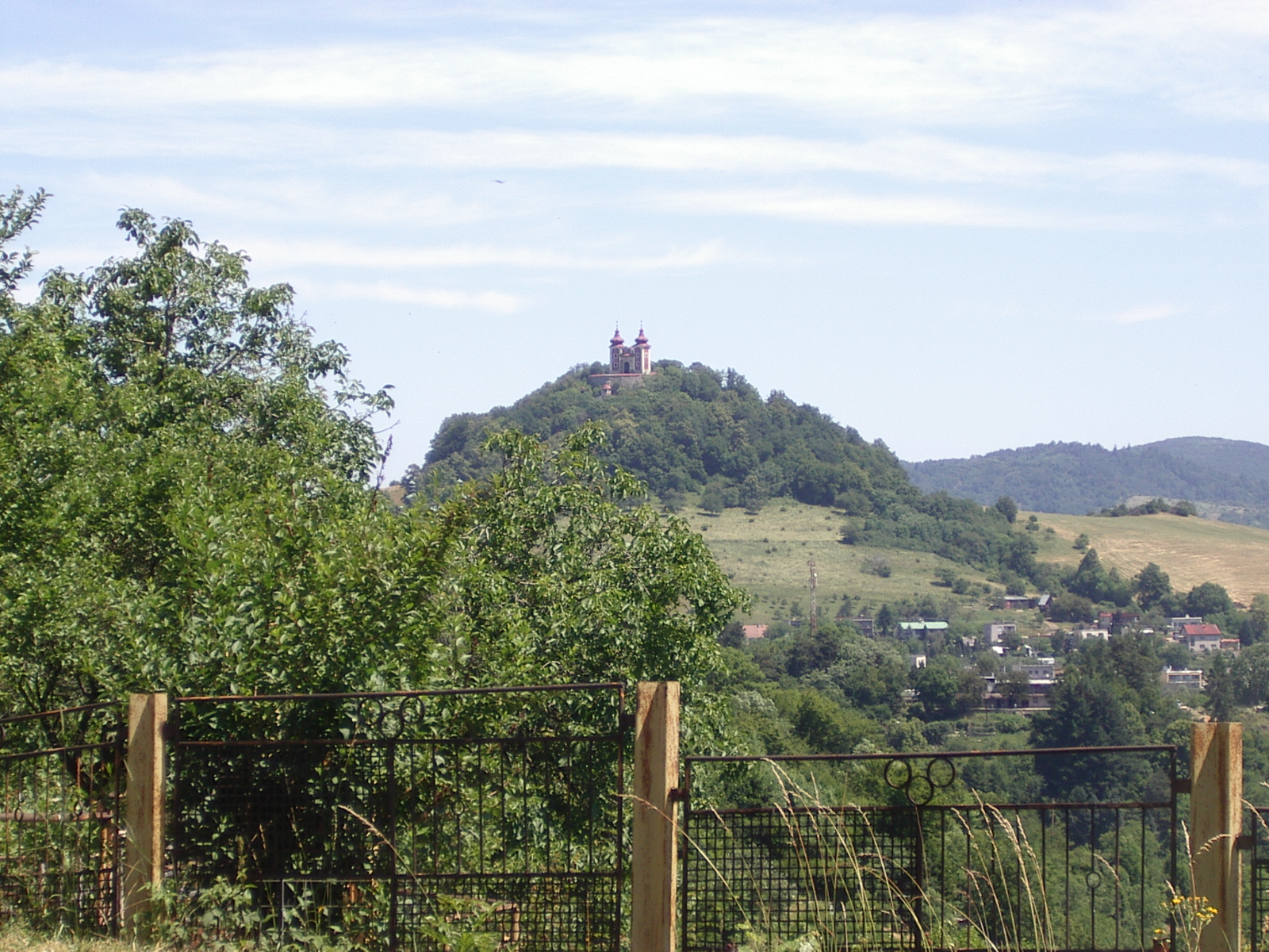
A church above Banksa Stavinica
In Banksa Stavinica, I found a place for lunch and, while eating, I looked at my map considering my routing options. Then I saw it. There was a road that I could take without climbing out of Banksa Stavinica! I asked the fellow who served the drinks at the Pizzeria where I was eating how to get that road. He said - pointing the the cobblestone street in front of the Pizzaria - "down, down,down, and down!" So I went down at every intersection and soon I was on 525, the road that follows the river, the Stavinica, down to meet 51 some 27 km after 524. On my way out of town, I stopped at a service station and bought some Pepsi. I figured I'd need it for energy later and I certainly did.
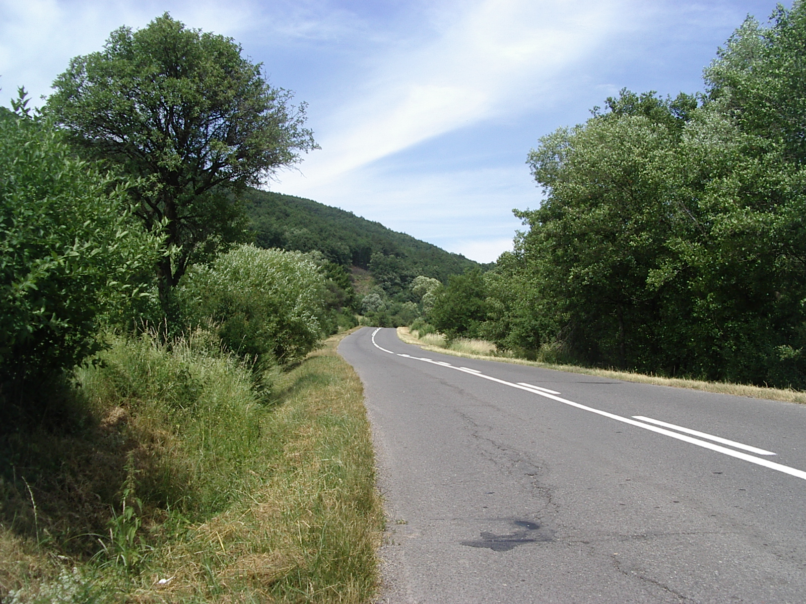
Looking bac during the long downhill on 525
525 is a very nice 25 km long downhill. It is never really steep - unlike 524 which was so steep in parts that I was wishing Primoz was along to take my panniers up the hill for me ;-) - and it does take some pedaling in a few palaces, but mostly it is just 20 mph coasting. It is an easier, if less beautiful, alternative to 525 for getting to Banksa Stavinica, or at least that is what I thought until I started riding 51 back to Levice.
Damn, that road is all hills for over 20 km. I climbed, mostly at 5 to 6 mph but sometimes I could only manage 4 mph - and them descended, and then, immediately started to climb again. Some of the climbs are short but several are kilometers long. It wasn't really hard climbing like 524, but I probably climbed almost 500 meters in that 20 km. That is 50% more climbing per mile than the average on the Blue Ridge Parkway.
I had figured it would take me about 2 hours to get back to Levice once I got to 51, but it took me that long just to cover those 20 km of hills. Then there was another 20 km of lesser hills and flats. That section was much faster, and much easier, riding.
In Levice tonight, I went walking to see what the town center - right next to my hotel - felt like. It felt good, pretty much like any prosperous European town's shopping area. I stopped at a Chinese restaurant for supper. Fast food, but cooked for you after you order it. Good, and inexpensive, like all my meals here. I also bought a comb - my Bulgarian comb is better, but it is starting to lose its teeth - and some ice cream for dessert. Life is good.