
My bike at my first rest stop of the day,
28 miles from Delta
You can see 6 liters of, Gatorade colored,
water
There is another 3 liters of water in the rear pannier
My bike at my first rest stop of the day,
28 miles from Delta
You can see 6 liters of, Gatorade colored,
water
There is another 3 liters of water in the rear pannier
Today, I had a really enjoyable ride from Delta to the Utah/Nevada border. I was over prepared with food and water for a worst case riding scenario and the weather turned out to be almost best case. I carried over 10 liters of water and only needed five. If the weather yesterday had been as good as it was today, I could have ridden here with my punctured water bladder. Of course the weather yesterday was much worse and I probably would not have had enough water. I also would not have nearly as enjoyable a ride as I had today.
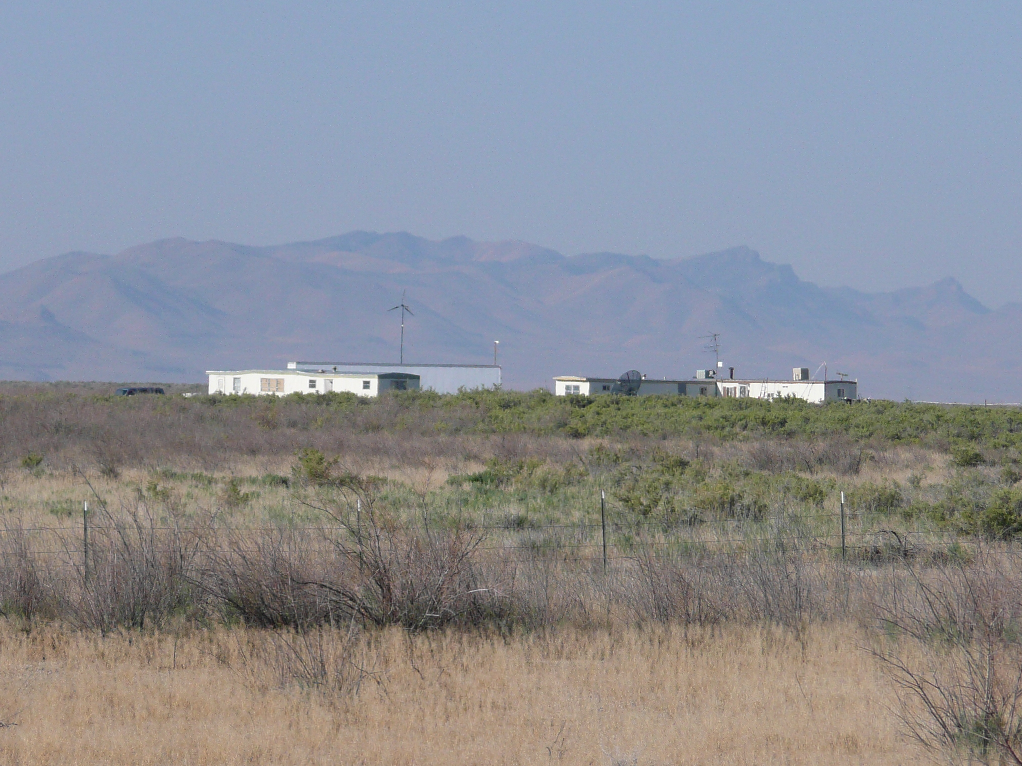
The only, off the grid, homes I saw in the
desert today
Note the wind power and the satellite dish
I left Delta about 7:15 after eating breakfast at McDs. I had decided that I would take it easy this morning since I knew that there was some serious climbing I had to about 50 miles from Delta, but, even taking it easy, I found myself cruising at or above the speeds I was doing yesterday. The wind, or rather the lack of wind this morning, made riding easier than it was yesterday morning. I averaged 14 mph for the first 28 miles, and 13.5 mph for the first 40 miles. The first real climbing started then and, before the climbing was done, I had headwinds. My average speed for the day was 11.4 mph.
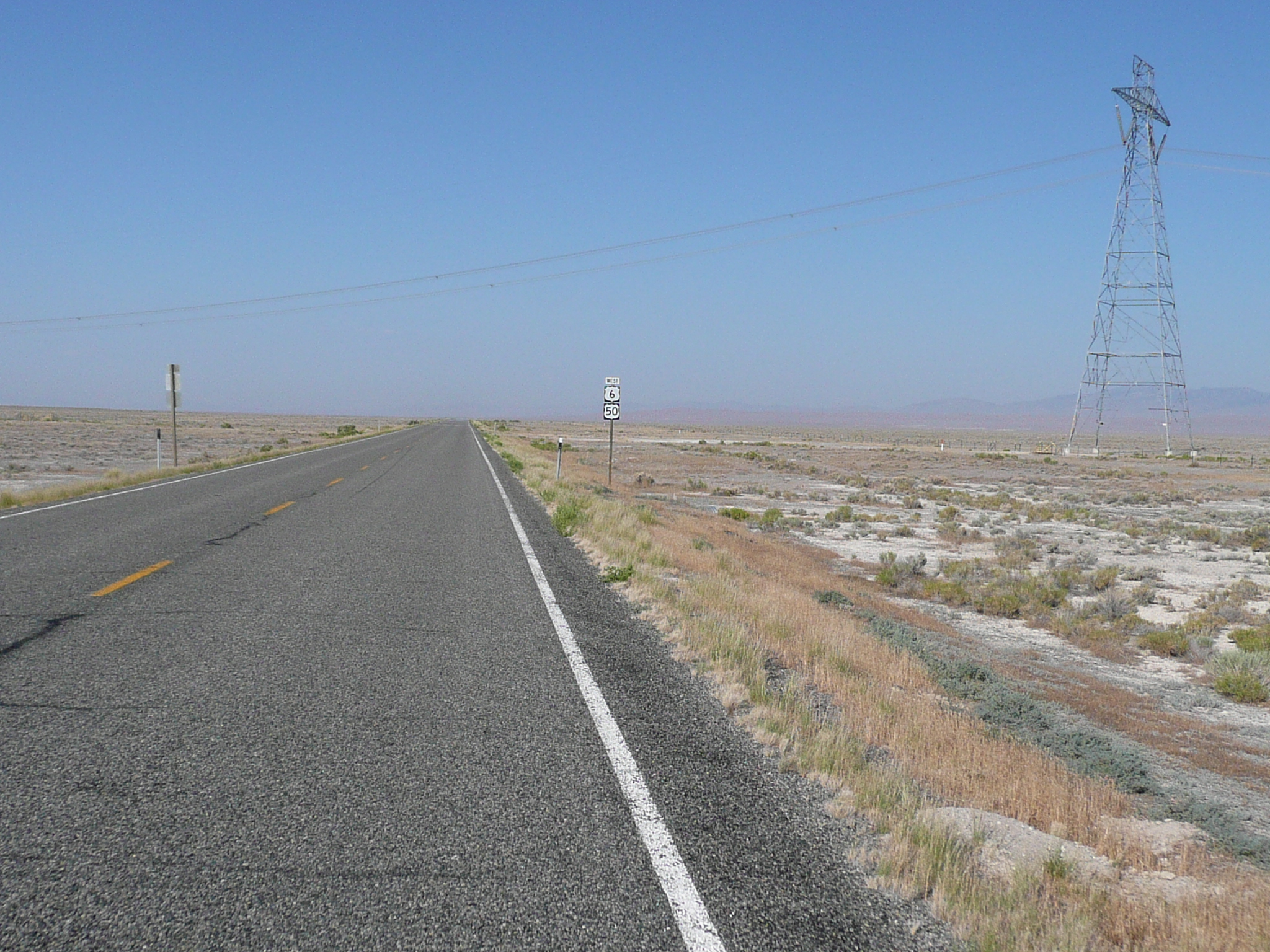
There is power crossing the US 50, a lot
of it
These power lines were crackling as I rode under them
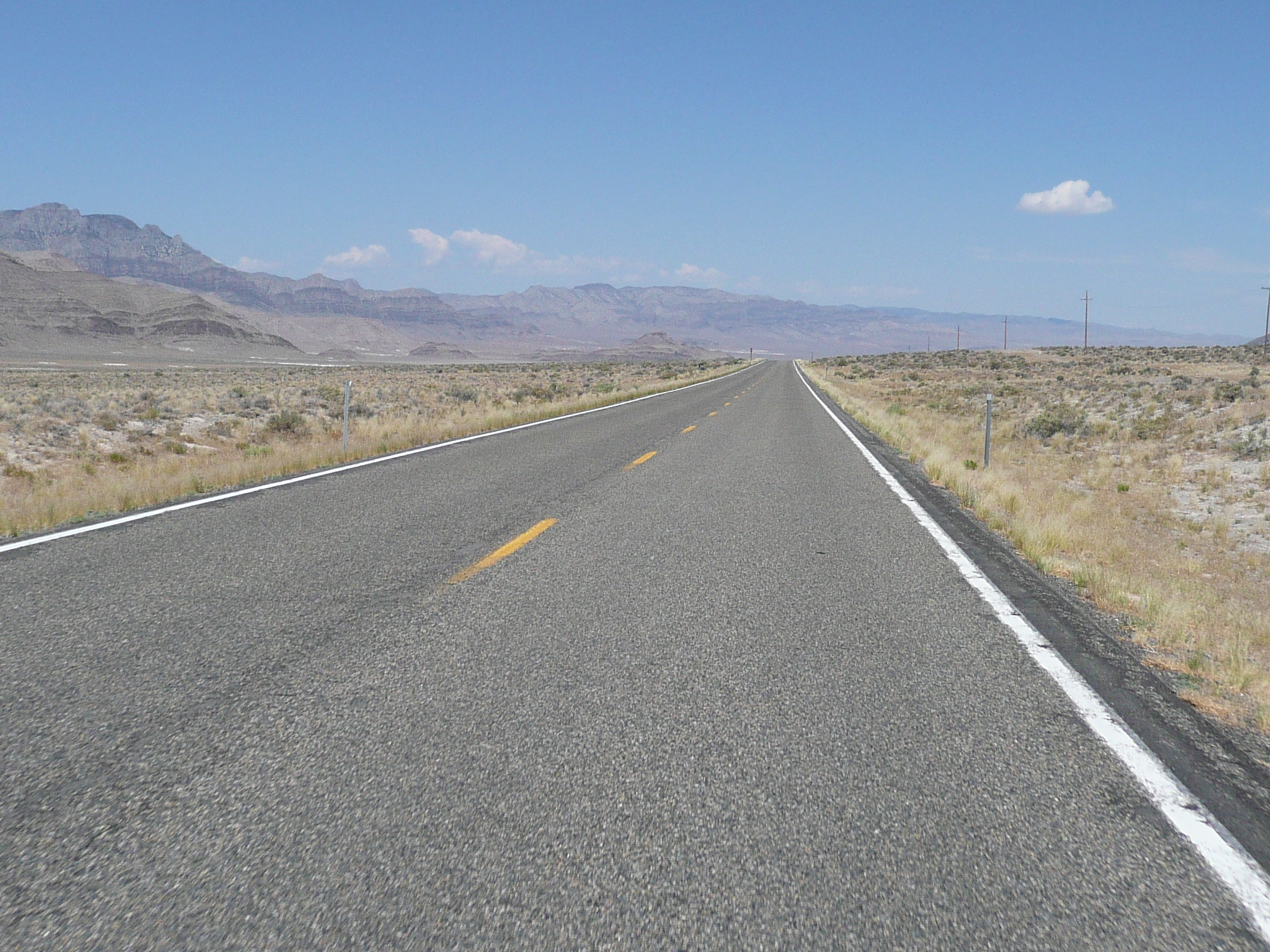
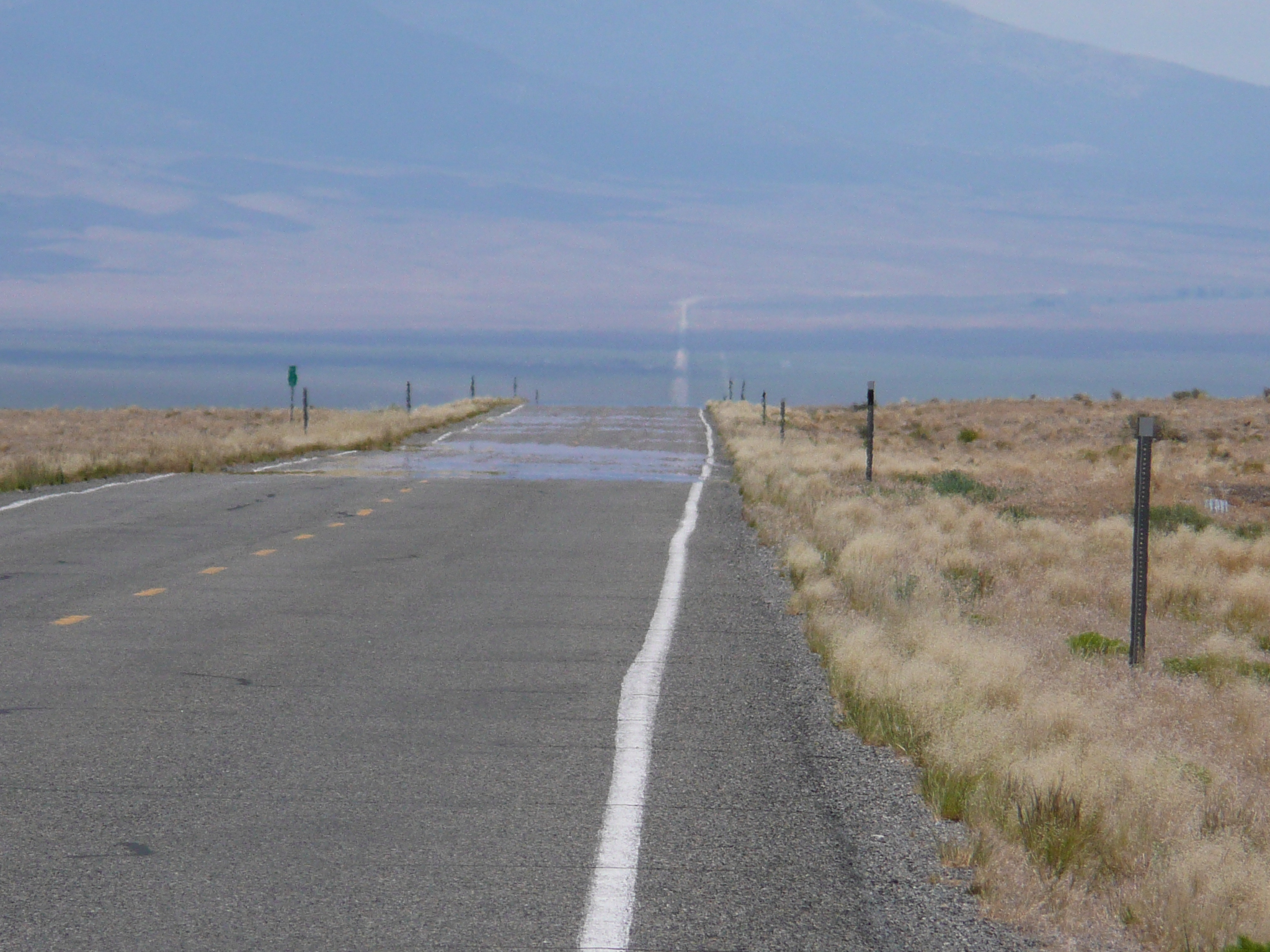
Spinning down an essentially flat road - my speed varied from 13 to 16 mph - in comfortable temperatures with clear skies and some (much nicer than yesterday) views was fun. The smoke was gone so, for the first time in several days, my throat, lungs, nose, and eyes weren't bothering me. There wasn't too much to see close up, but, with clearer air, I could see the mountain ridges twenty or thirty miles away. I could also usually see US 50 that far ahead and behind of me ;-}. With very little traffic to distract me, it was a great time to let my mind wander as I rode. I enjoyed the geology - interesting layering of rocks - and the vegetation - why are those weeds red near the ground and green above that? - and the silence. No other place beats the desert for silence.
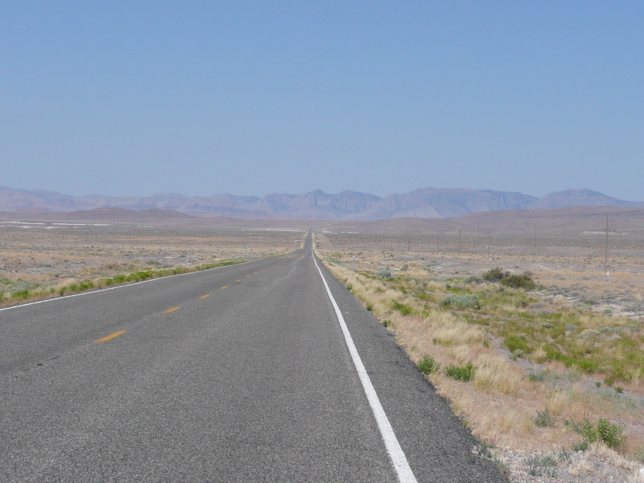
The road has been close to flat for 40 miles. Now it goes down into the Sevier Lake Bed and then it starts to climb
I stopped for a snack at 28 miles and again at the top of the first real climb. That climb took me along and above the salt lake at the end of the Sevier River which I have been riding along since near Nephi. It was only about a 500 foot climb and mostly climbable in my middle ring, but I had to focus on climbing and on keeping cool since it was now nearing noon and the temperature was no longer comfortable when climbing without a wind.
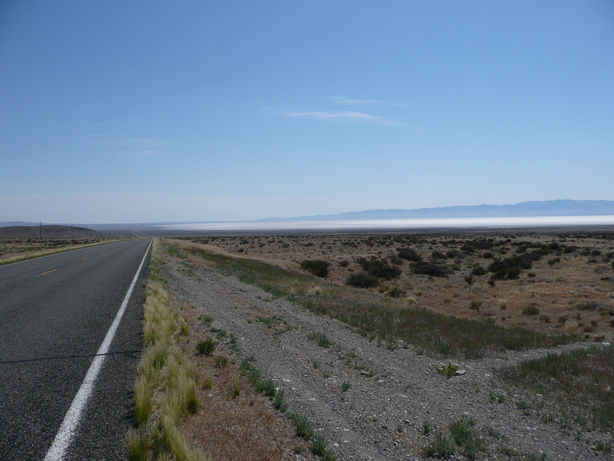
Looking back at the Sevier Lake Bed from the end of the first climb, you see a 'salt' lake
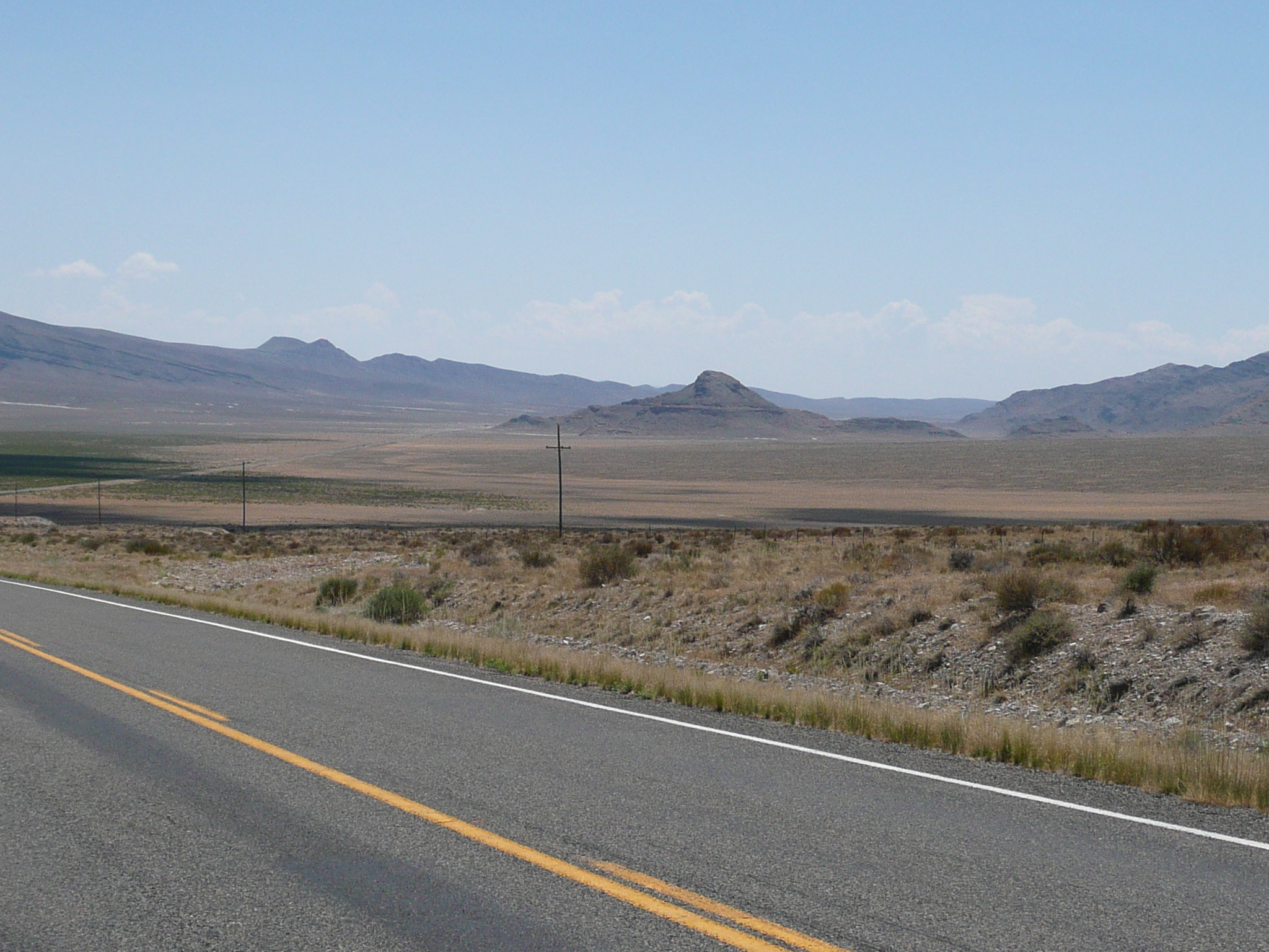
After that first real climb, there was a flatish section and then a moderate - the sign said 8% grade but it felt more like 6% - descent into a second valley. Riding down that valley was easy, but, by the time the road started to climb out of it over an impressively high ridge, US 50 was back down to the lowest point of the day, about 4500 feet. It was also after noon and quite hot.
Cranking down the second valley was easy
because the road gave back all of the 850 feet I'd climbed since
Delta
but that made those big hills harder to climb out over!
I stopped for another break before climbing. I knew, from using Google Earth yesterday, that I had to climb over 500 m or around 1700 feet. I also knew that there was a gentle tail wind - five mph - which would make that climb very hot ;-{.
Looking back at the second valley from near the start of the five mile climb out
After resting, I head up the hill at 5mph. Not good. I slowed to 4 mph. A little better, but I still had to stop regularly to let the wind cool me down. That was the situation for the first mile or two of climbing. It was a very pretty climb that showed some excellent road engineering / building skill. I saw a sign for a dirt road to 'old US6/US50' which was quite a ways away from the new route, so I think the new route was determined by the clever folks who found this route through that ridge.
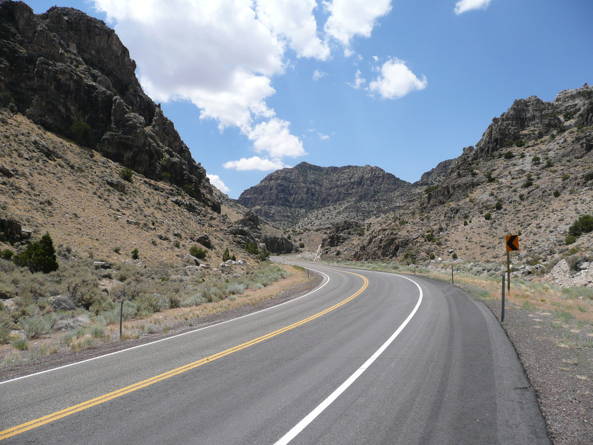
In the middle of the climb out
I was relieved, and able to speed up, when the tail wind switched to a head wind. As the headwind got stronger, I could climb faster because now my body had a good cooling mechanism. The remainder of the climb was nicer because of the headwinds.
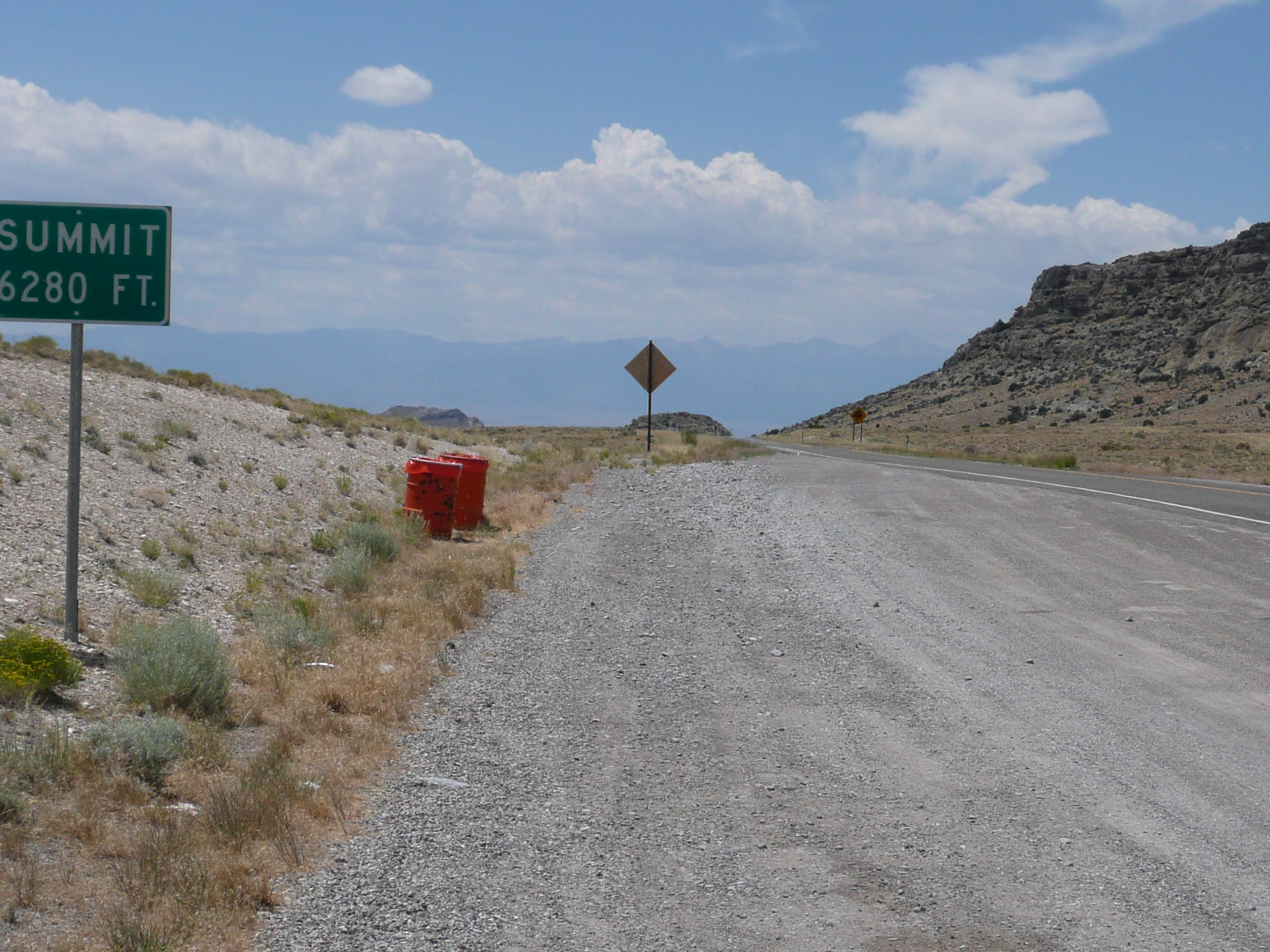
At the summit, some 1700 feet vertical
above the start
Those mountains ahead are part of the Great Basin
National Park
The highest peak, at the right in this image, is Mt
Wheeler which is 13,000 feet
When I got got the summit at 6280 feet, I recognized the mountains ahead. They were the mountains in the Great Basin National Park which were familiar to me from my 2004 tour when I had crossed Nevada from west to east. It is always nice to come back, via a different route, to a place I have been before on my bicycle.
After coming down into the third valley,
it is a 20 mile ride to the border
In this telephoto image, taken
more than 10 miles from the border, the border is five miles before
the road curves right
That is where I'm staying tonight at the
Border Inn
The ride down from the summit was into a moderate headwind and, despite the usual 8% warning, was mostly at 25 - 30 mph. Then there was a long straight road heading off across the flat valley. This is so US 50 in Nevada, that it was nostalgic! The road headed off towards the south end of the Great Basin National Park and I knew that US 50 crossed the mountains, and the border, north of the park. That meant that, once past a ridge that stuck well out into the valley, the road took an abrupt turn north before running straight west to the border. On the other side of the border it turns north again as it starts another climb which takes it over the highest pass on US 50 in Nevada.
Once the road was heading west, I started looking for the Border Inn. I was first able to see it roughly seven miles away. There isn't much out here, so even a motel/cafe/service station/RV park is visible a long way away. I'd never been to the Border Inn - on my previous trip I turned south to Baker on the Nevada side of the Border - but I knew what it looked like from Google Earth. Of course I didn't know what it would feel like or if the food was any good or if they'd have a room for me.
When I got here, I wasn't too impressed with the feel of the place. I react badly to gambling machines and they have a bunch of them. I ordered - very slow service from a nice young woman who was doing everything at the cafe - a fish and chips dinner which was decent and so large I didn't quite eat all of it. (One of the signs that my body is in touring mode is that I don't need/want to eat as much.) If the Border Inn didn't have a room, I would have ridden on to Baker where, if the tiny motel didn't have a room, I could have camped.
They had one room left - at 3 PM,so arrive early or make a reservation - and it is comfortable and reasonably priced. After cleaning up and doing the images for the web page, I took my computer back over to the cafe/bar/office in hopes of having a beer and working on the text. I decided that I couldn't work in that atmosphere, so I came back to my room. Maybe I'll go back now for the beer...


