
To give you a feel for what it is like in
Nevada: Ely, about half of it, is over in the left hand center of this
image
Very big valleys, small towns.
To give you a feel for what it is like in
Nevada: Ely, about half of it, is over in the left hand center of this
image
Very big valleys, small towns.
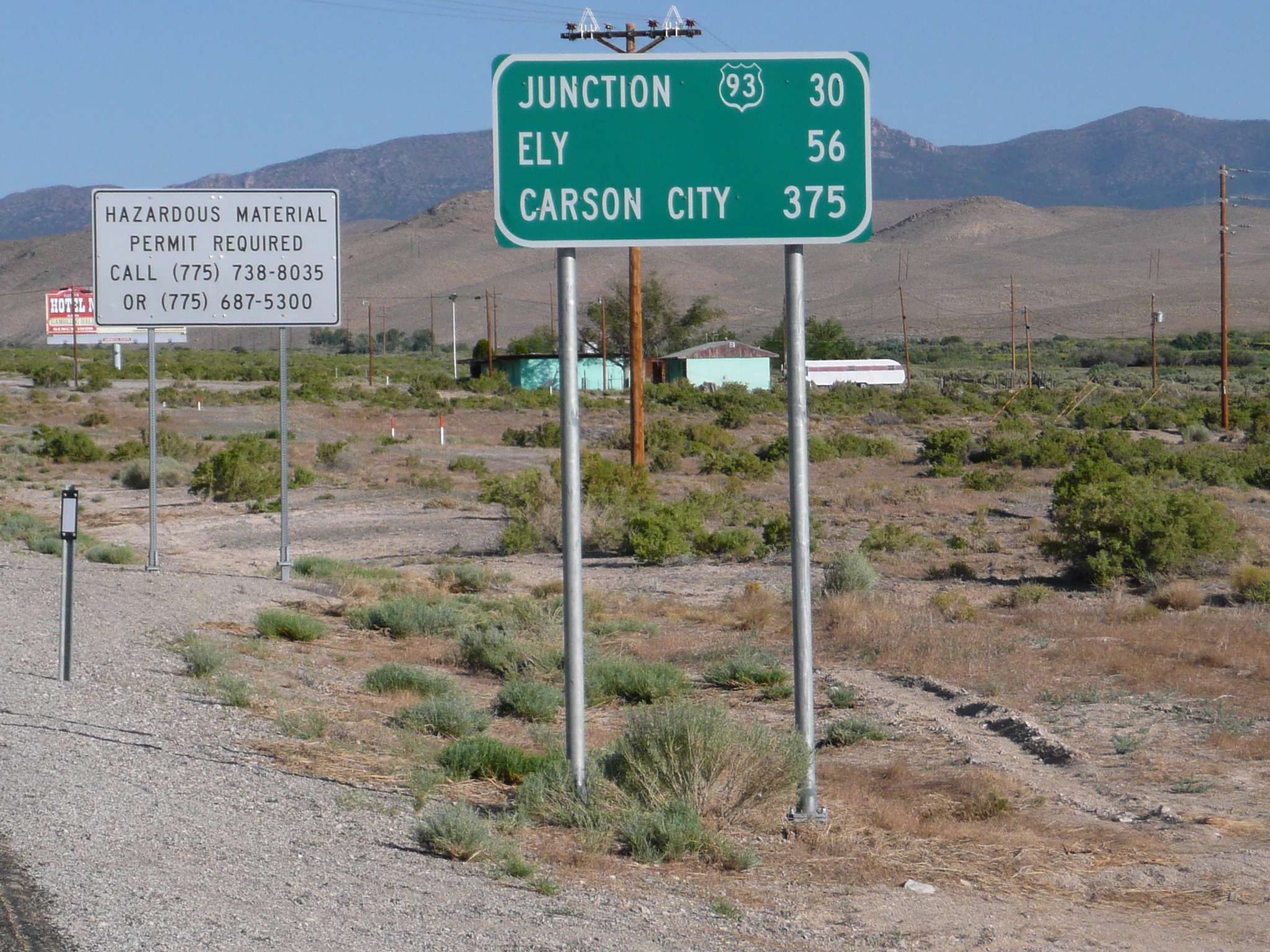
It was fun to be back in Nevada today. Fun, but hard work. I only rode 63 miles, but there were two passes in that distance,and I climbed 4000 feet. I started early, 6:30 AM, and got to Ely about 2:30 PM. It was hot by 8 AM today and windy before noon. Neither of these conditions is normal for this part of Nevada. The locals are having a particularly hard time with the heat since, at 6500 feet, they've never had this kind of extended heat wave before.

My bike at my first rest stop today
In
Nevada, cattle guards are one the few places to stop for a
snack
And there aren't very many cattle guards
One of the things I enjoyed today was the nostalgia of coming back, going in the opposite direction, to places I rode in 2004. For example, I used a cattle guard for my first break - after two hours of 2% or so climbing. I was hoping to get to a rest-stop area - there are two of those on my route today - to take my break, but my tummy was saying it needed some food and I saw a cattle guard on a National Forest Access Road, so I stopped there. Nevada is the only place I've ever needed to use cattle guards for taking breaks while touring.
When I rode on from that cattle guard, I came to the rest stop in less than half a mile. However, that rest stop had people in cars using it - two cars pulled in while I rode up to and past it - while my cattle guard was mine alone. The rest stop also had shade, which the cattle guard lacked, but at that point I was riding uphill with a @#$@! gentle tail wind. I needed to stop so the wind could cool me off. The cattle guard stop was great for letting that gentle wind cool me.
Seven miles from the Border Inn, just
after the road to Baker, NV goes south from US 50
I've climbed
about 500 feet at this point and the climbing is about to get more
serious
Climbing got better when, perhaps half way up the 1800 foot climb, a headwind developed. I was actually a bit chilled for a while as the sweat, which had wet my clothing, evaporated. The rest of the climbing on that pass was comfortable because of the headwind.
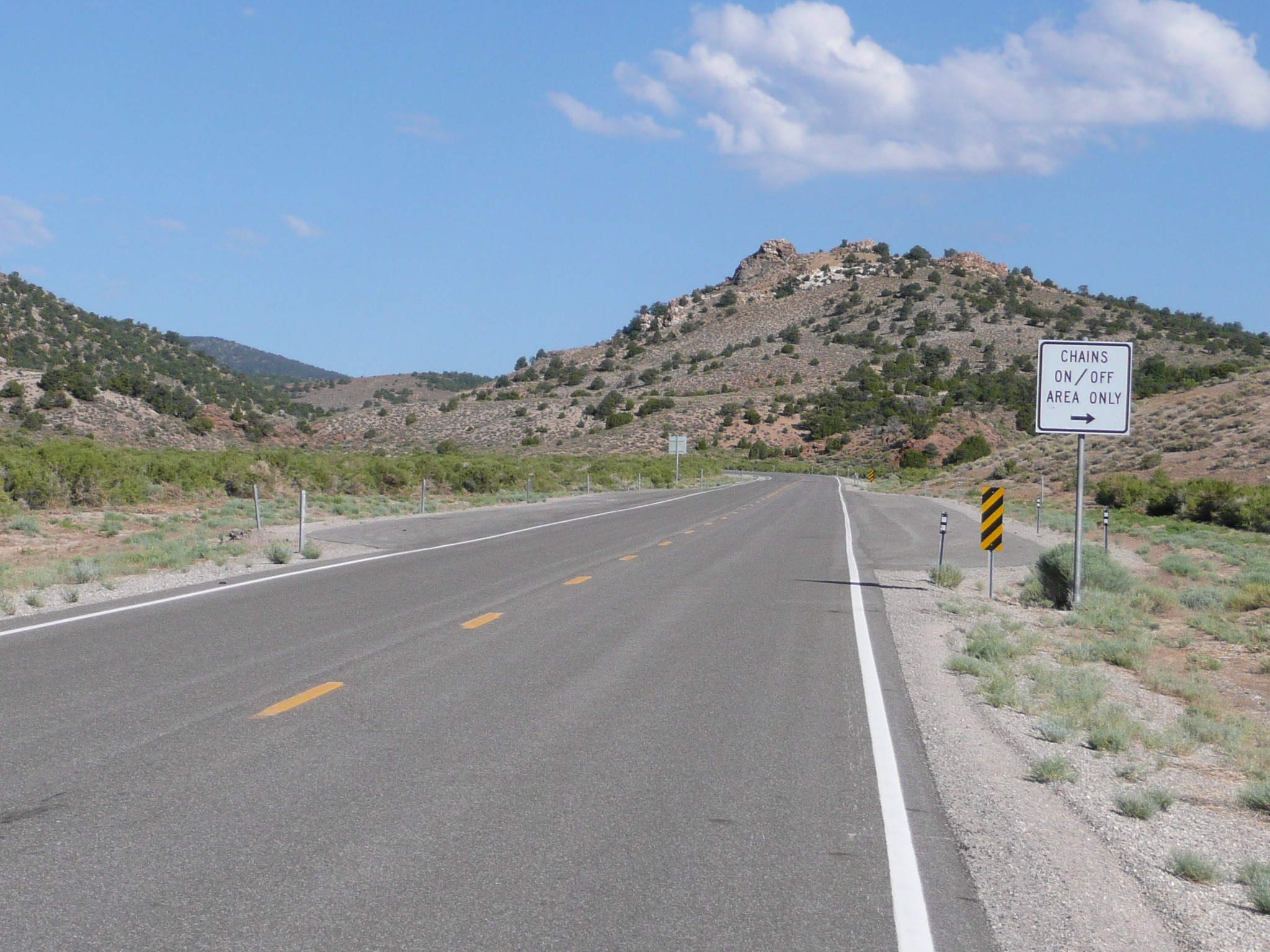
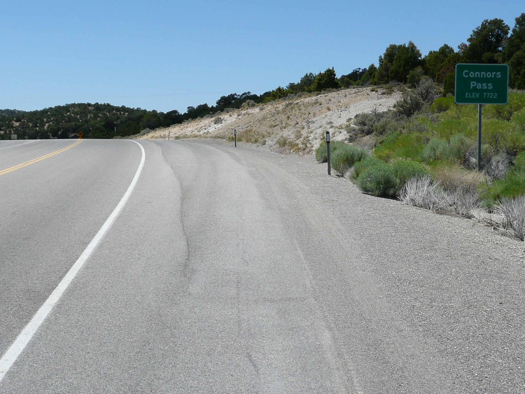
In Nevada, this means we are starting, or ending, a pass
When I got to the top of the first pass, roughly 20 miles from where I'd started, about 9 AM, I found a "six miles of 6%" warning sign on the downhill into the next valley. It really was pretty close to that; a 1500 foot descent over six miles. On the way down I saw,and said hello to, two local riders climbing up. Later, near Ely, I saw a third. I think, other than my day on the bike '76 route, that is the most bicyclists I've seen in one day on this tour. Both passes on this route are steeper on the west side than on the east side, so todays climbing, although much hotter than the climbing I did in 2004, was also easier.
At the top of the first pass
The road ran down, rather than across today's second valley for half a dozen miles, then it abruptly turned and headed across the valley which was about ten miles wide. Riding across that valley took a long time and brought back memories of riding across in the other direction in 2004. On that ride it wasn't hot and I didn't have a strong, gusty, side wind, so I was focused on trying to figure out where the road went on the eastern side of the valley. It looked like it went almost straight up the side of the next ridge, but, in reality that is a dirt road to Osceola.
This time across, the interesting thing was trying to figure out what was at the other side. It looked like two buildings, but it turned out to be one building - a bar - and a big billboard. The bar served some food. This was quite wonderful since it was now 11 AM and I was hungry! I got an overpriced, but good, and huge, 1/2 pound hamburger and french fries. It took a while to get the food, and I was in no hurry, so I spent almost an hour in that bar. Then I climbed for five miles to get over the second, and 500 foot higher, pass.

Riding from where this image was taken to
where you can see
the road climbing the other side of the valley took
over an hour
These valleys are big
The other interesting thing in the second valley was that I found a light weight, foam, sleeping pad. I figured a way to attach it to my bike and it makes a good protector / bumper for the water bladder on the right side. It will also be useful as pad to sit or lie on when I take breaks and, if I have to camp again in the cold, as extra insulation under my sleeping bag.
This sign is only a couple of miles from
the far side of the valley
The little white line just left
of where the road ends is the bar where I ate lunch
It is five
miles from the bar to the top of the second pass
I took it easy climbing after lunch, mostly because it was hot, but also in order to pace myself. My climbing power output often needs to be higher than my flat riding power output - assuming wind isn't an important factor - but it really shouldn't be a lot higher. Instead, I should gear down to a speed where I can climb with only a little more power than I use when riding on the flat. When I'm riding, on hills or flats, I need to limit myself to a power output I can maintain for as long as needed. That is why I got into trouble on this tour on Cameron Pass - trying to get away from biting flies and on my way to Price, Utah - using a pace I could only maintain for an hour or two on a climb that turned out to take four hours.
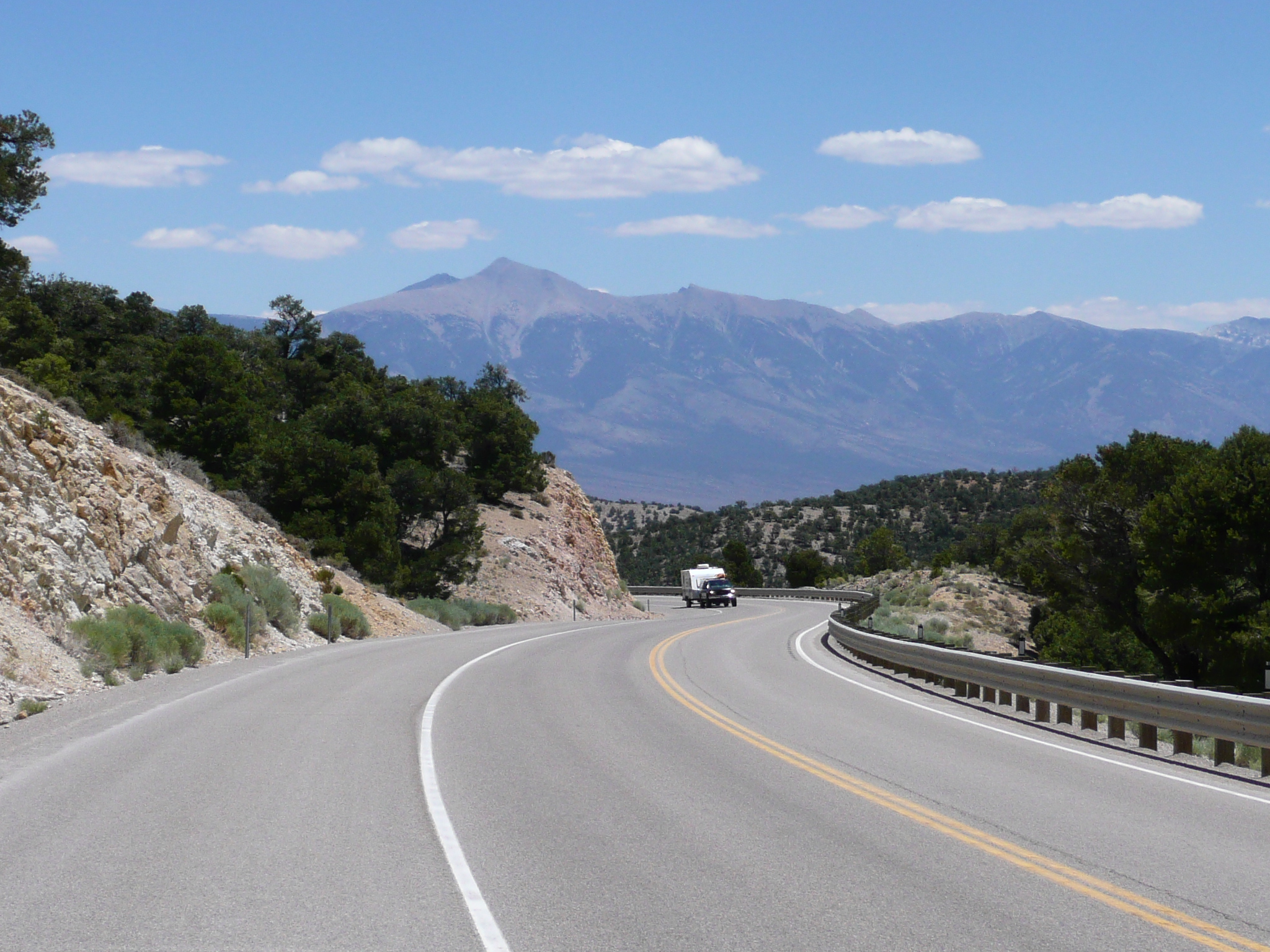
A last look back at Mt Wheeler, a mile or so before the top
As I climbed the second pass, I remembered how impressed I was when, nearing the top from the other side, I saw Mt Wheeler rising, as I climbed, above the nearby peaks. I had no idea that a 13,000 foot mountain was out there near the border of Utah and Nevada! Today, climbing the other side, I watched Mt Wheeler in my rearview mirror as I climbed near the top of the pass. I think it had snow on it in 2004, but, even without snow, it is a beautiful mountain.
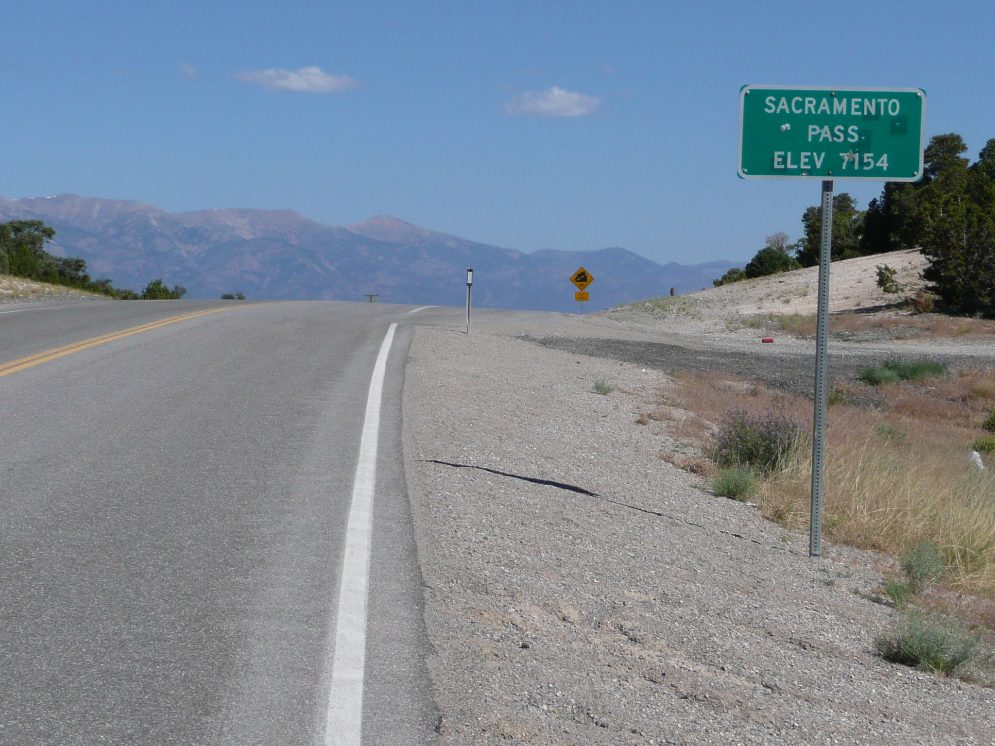
The top of the second pass
The road coming down from the second pass was marked as four miles of 6%. It seemed more like 4% for most of the descent, but I still remember it, and, even more so, the six mile climb on the last pass in Nevada as hard climbs on my 2004 tour. They didn't seem as hard this year, but that may have been because the high temperatures this year forced me to take it easy climbing them.
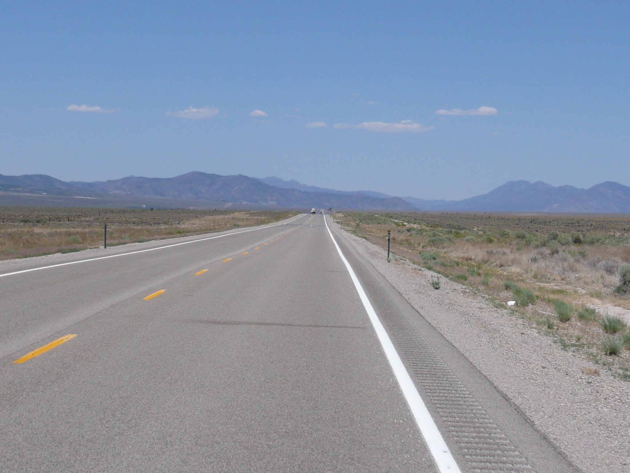
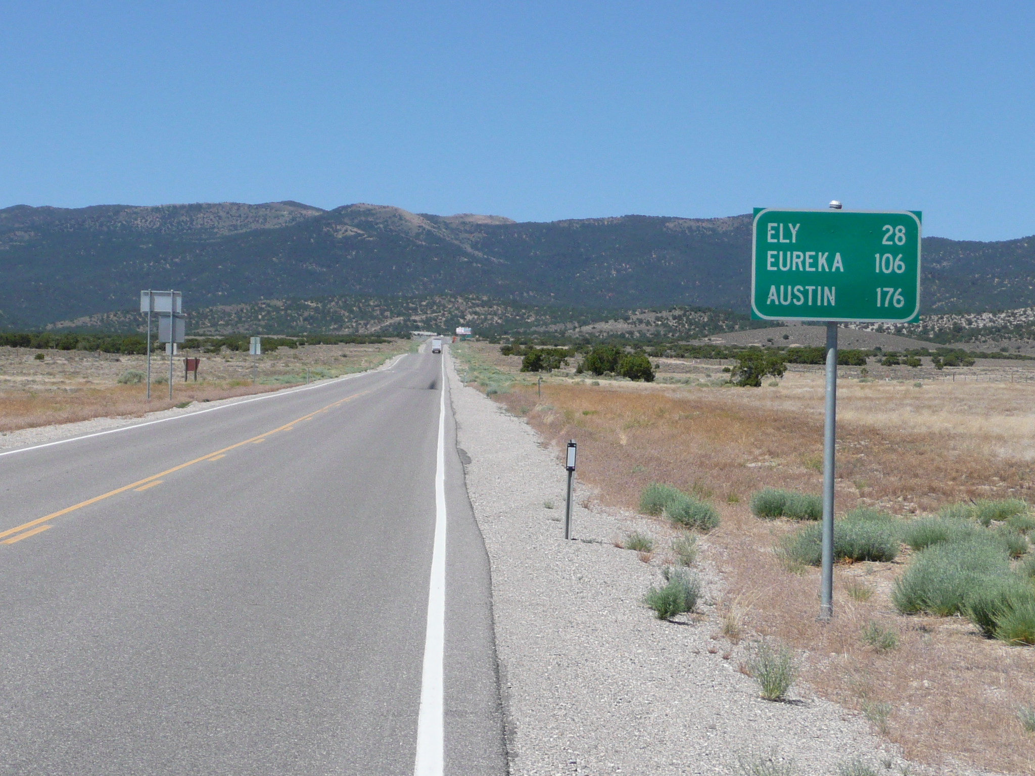
After coming down from the second pass, I rode 20 miles of this to get to Ely
Once down into the third valley, the wind was strong and gusty from the south, but my route was heading north-west, so it was a tail/side wind. It blew me around a bit, but it also kept me cool and increased my speed during the last 16 miles to Ely. When I got to town, I checked out motels looking for one with wireless that didn't also have gambling. I found a really nice one across the street from the Ramada Inn - which has a casino. This one has ethernet and wireless, yet cost the same as the Motel 6 up the road. I stayed in that Motel 6 in 2004, and this motel is considerably nicer.
Speaking of up the road - and its literally up - there is a grocery store up there where I got food supplies - I won't see a 'real grocery store again until I get to Fallon - and a McDs where I will get breakfast tomorrow. The other breakfast options at 6 AM are casinos. Breakfast would be better, but slower, and I don't want to go there.


