Patton Mountain - Elk Mountain Scenic Highway Loop
One of my favorite short rides is a loop from North Asheville out Patton Mountain Road to Town Mountain Road and then to the Parkway
at Craven Gap. From Craven Gap, I like to ride north to Bull Gap and then take Ox Creek Rd to Elk Mountain Scenic Highway and ride back to
North Asheville. From my home near Beaver Lake, this is a 16 mile loop with about 1700 feet of climbing.
I start by heading up Gracelyn
Rd from Merrimon Avenue. Gracylyn becomes Griffing Blvd when it crosses Kimberly Avenue. Griffing ends at North Griffing, which climbs
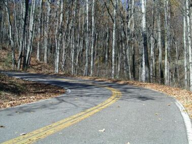
and then runs along the side of Patton Mountain. Patton Mountain Road, which is a good quality dirt/gravel road, starts on Nortth Griffing
and climbs to the top of Patton Mountain and then down to Town Mountain Road. After Patton Mountain Road, North Griffing becomes
Sunset Drive which comes out on Old Toll Road. Old Toll is another good way to ride up to Town Mountain Road. Ashevile has lots of roads
that change names!
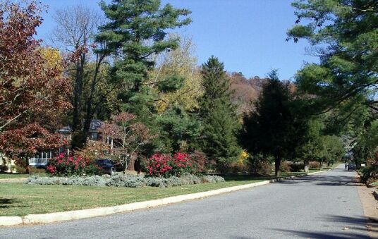
The Rose Garden on Griffing Blvd
Griffing turns left and starts climbing just past the Rose Garden
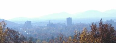
A view of Downtown Asheville from North Griffing
North Griffing Road
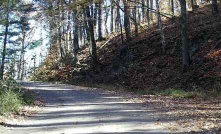
Patton Mountain Road
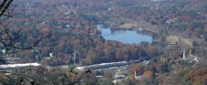
Looking down on Beaver Lake from Patton Mountain Road
my house is close to the middle of this image, hidden by trees
Beaverdam Valley ends at the bottom center of it
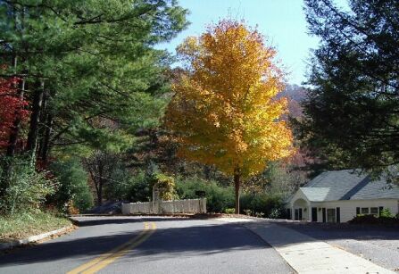
At the end of the dirt section of Patton Mountain Road,
You turn right at the water tank onto the paved road
and ride past the Western Residence - for NC's Governor,
downhill to Town Mountain road.
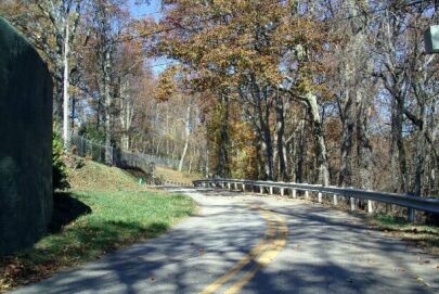
Turn left on Town Mountain Road
When you reach the top of Patton Mountain Road, you have climbed about 1000 feet up from North Asheville. Patton Mountaion Road
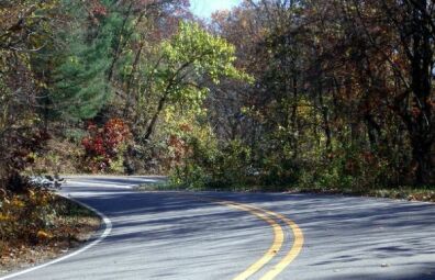
descends maybe 75 feet to Town Mountain Road. Town Mountain climbs another two hundred feet, mostly in some nice Esses which are great fun to descend, and then descends several hundred feet to the Parkway at Craven Gap. Bull Gap is about two easy miles north on the Parkway. At Bull Gap, you turn left and climb a few hundred yards on Ox Creek Road before turning left onto Elk Mountain Scenic Highway. Elk Mountain Scenic Highway is about six miles of very
nice, if often bumpy, riding. It climbs about 500 feet before starting a long, curvy, descent into the Beaverdam valley.
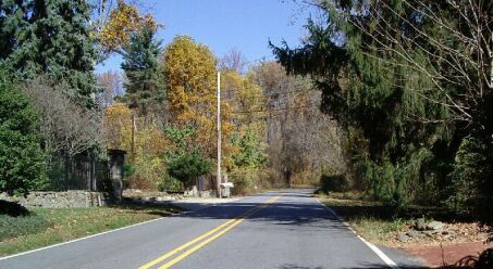
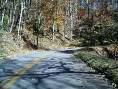
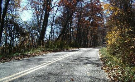
Heading north on Town Mountain Road just after Patton Mountain Road
Climbing the Esses on Town Mountain Road
On the Parkway
Starting up Ox Creek Road
Climbing on Elk Mountain Scenic Highway
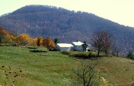
A farm near the top of Elk Mountain Scenic Highway
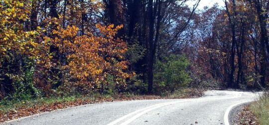
Descending Elk Mountain Scenic Highway - a great descent!
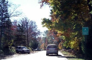
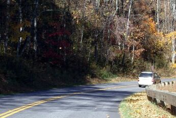
Heading back to Merrimon Avenue on Beaverdam Road
Elk Mountain Scenic Highway ends at Beaverdam Road. Turn right. Beaverdam would be a great ride if it had less traffic on it, but the part
from Elk Mountain to Merrimon (or just to Kimberly if you prefer to get off sooner) isn't bad. When you reach Merrimon you are less than
a quarter mile north of my starting point at Gracelyn Road.