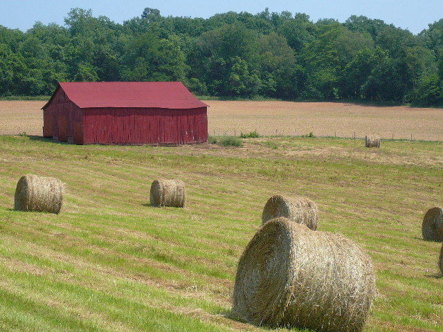
A barn in TN near the KY border
A barn in TN near the KY border
I rode from Jamestown to Jamestown today ;-}. It was only 64 miles with about 4000 feet of climbing, but the climbing in the 15 miles, between coming down off of the Cumberland Plateau and reaching Kentucky, was very steep. I needed my lowest granny gear - 20/34 - for those hills. It was 3 mph up hill and 40 mph down hill riding. It was also very beautiful riding.
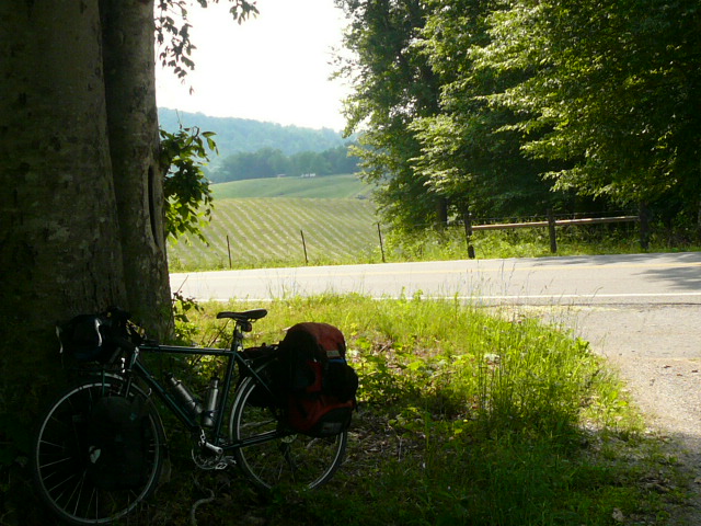
My bike taking a rest break in the middle of the most beautiful part of today's ride
It took me two and a half hours to reach the TN/KY border - 20 miles and roughly 1000 feet lower than where I started - and that included a very fast, several mile long, descent off the plateau. What a ride it was, both the fast descents and the long hard climbs!
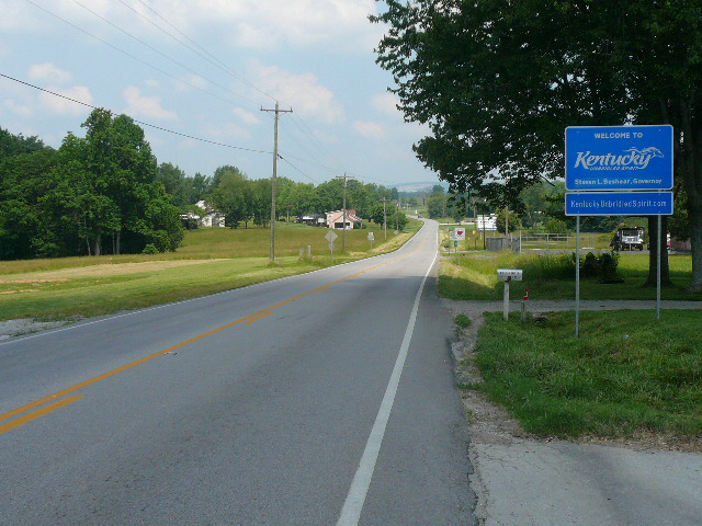
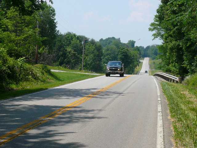
The flatter road at the Kentucky border
Nice relief for tired legs, but it didn't last
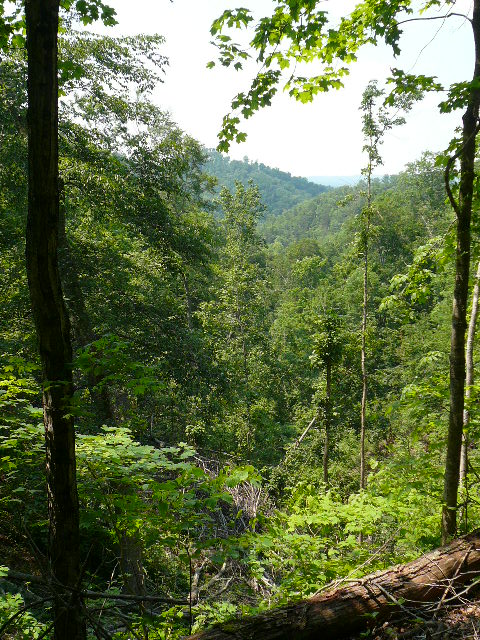
At the crest of one of the many hills in TN
I stopped in Albany, KY for lunch and wifi - the first of this trip - at McDs. After Albany, 127 got hillier and prettier. The most spectacular part of the ride was coming down along the side of the Wolf Creek reservoir and than riding across - a mile? - the dam which is under construction on its south end.
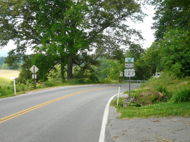
Most of US 127 in KY looked like this
The view from US 127 in a hilly part of KY
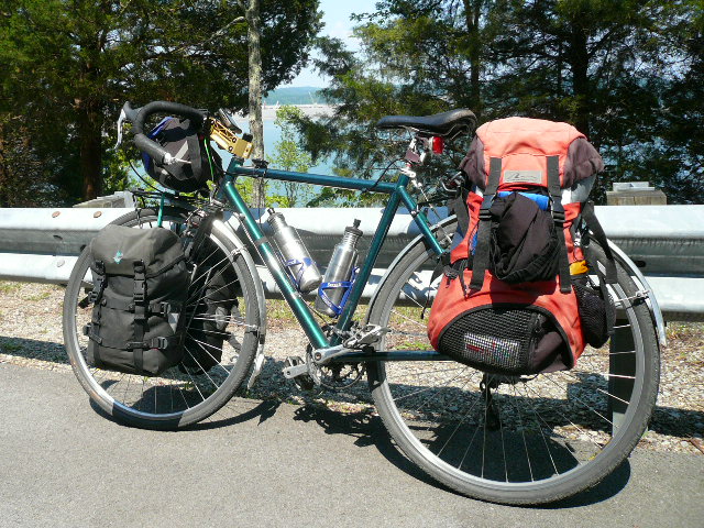
My bike in front of the Wolf Creek reservoir
After riding across the dam, I stopped for a break - I'd stopped for several breaks earlier in the day since this was hard, hot, riding - and decided that Jamestown seemed like a reasonable stopping point for today. I used my GPS to check how far it was - about 8 miles at that point and, when I was only a few miles from Jamestown, I used it again to route me to the motel I'm stay in tonight.
It did well for the distance, but screwed up on the routing. I got suspicious when it said 'take the third turn in the roundabout.' I just couldn't imagine a roundabout in rural Kentucky ;-}. There was no roundabout and the GPS got confused and sent me in the wrong direction. I just turned it off, rode back into town,, and asked where the motels were. Unlike Jamestown, TN, both the motels that my Garmin GPS knew about were actually here, and, except for the roundabout nonsense, the GPS told me where they were. I miss my Mio GPS which was MUCH better at actually routing me to places. The Garmin has maps for all of the US and most of Europe, which is why I bought it, but its routing, both features and performance, is lacking. Maybe the more expensive Garmins are better.
The river below the dam
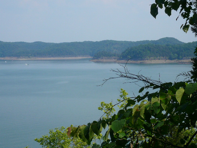
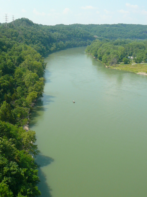
Part of the reservoir above the dam
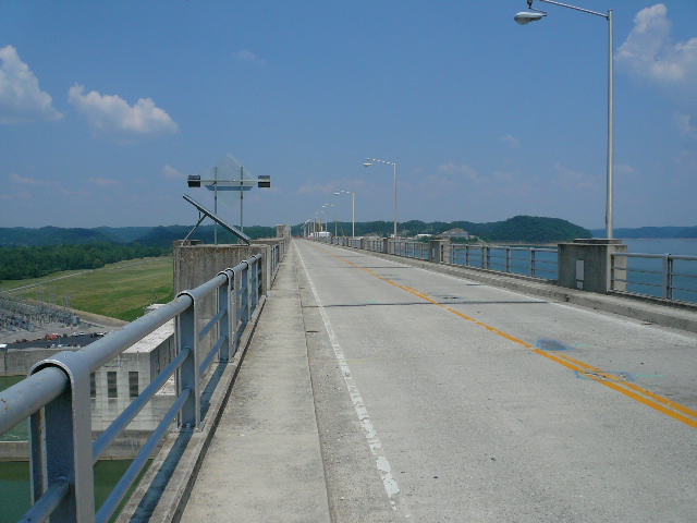
The road across the dam.
I'm continuing on 127 tomorrow, planning to stop about half way to Madison, Indiana. That means roughly 80 miles, so I hope it is a little less hilly than today. However, 127, once you get five miles or so north of Crossville, is really a very good bicycling road. The part after the plateau and one steep 'dip' down to a creek about half way to Jamestown, TN might require pushing loaded bikes up hills, but most of the climbing is reasonable - 8% or less - and the riding is quite good. I'm looking forward to seeing what 127 is like north of here tomorrow.


