Downtown Carson City, Capitol of Nevada
Downtown Carson City, Capitol of Nevada
I made it to Carson City before noon today. Riding conditions were near what I remember from my last trip across Nevada, so wind and heat really were not problems. When I left my motel to get supper at about 5 PM, both wind and heat were back in full force, so I'm glad I rode early.
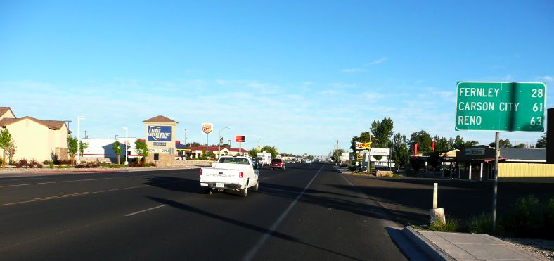
Riding through Fallon at 6:30 AM on the
'Reno Highway'
Note the shadows, I'm heading northwest
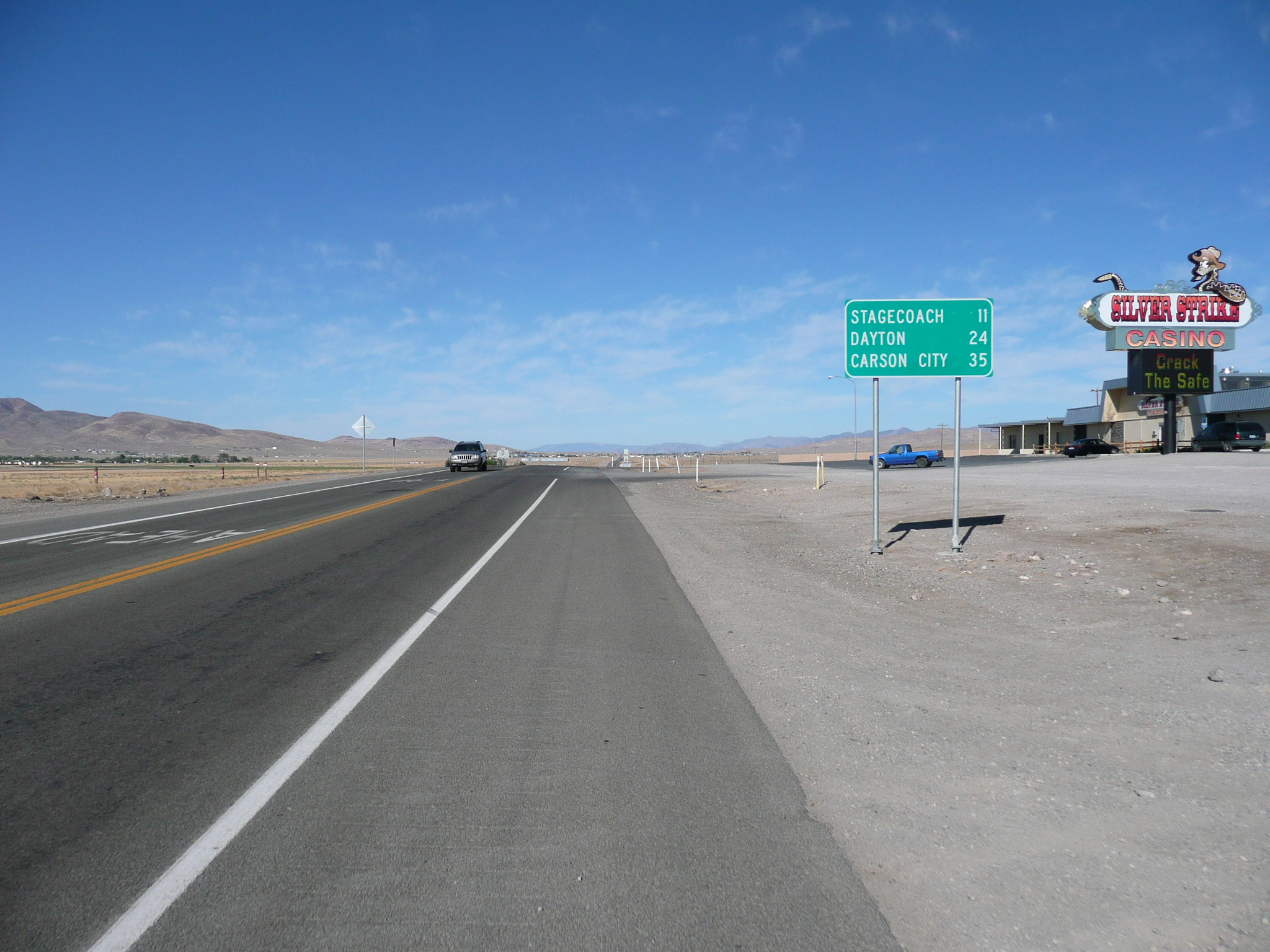
Riding through Fallon is, after the old downtown area, riding a 'strip.' Fortunately the traffic wasn't bad a 6:30, but I definitely wasn't on the Loneliest Road any more. Actually I was on the Reno Highway, which is what US 50 is called in Fallon. About ten miles out on this expressway, I ran into signs warning of construction and that the road was going down to one lane. Just before this happen I saw a sign for Carson. I didn't take it since I was going to Carson City. Then I noticed that US 50 was now Alt US 50 and figured I should have gone to Carson ;-{.
On a bicycle, with relatively light traffic, it was easy to cross the raised concrete median and ride the wrong way down the shoulder on the other side to get to where west bound traffic exited to US 50 ;-}. And this all happened before Alt 50 construction started, which was good.
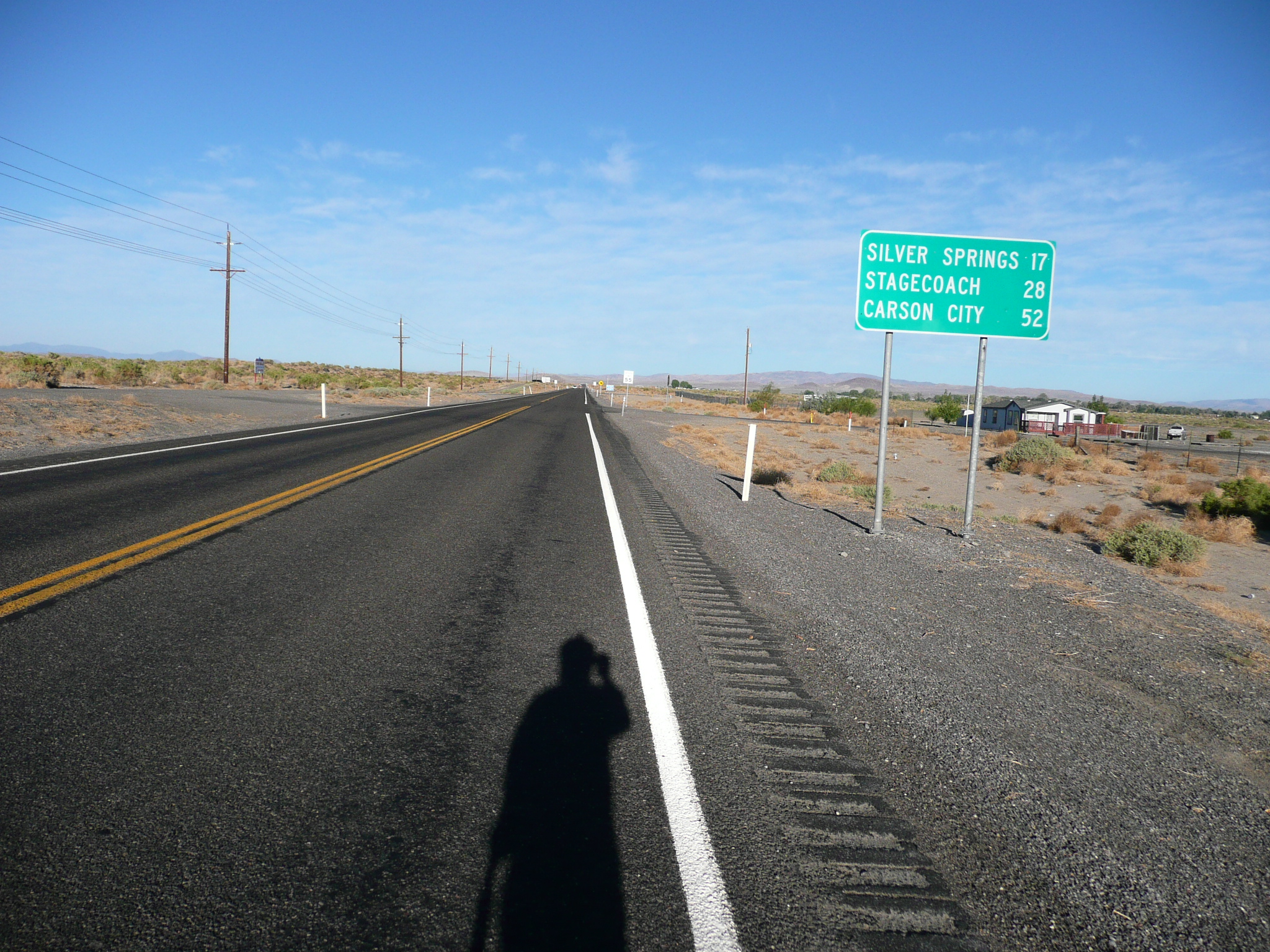
Heading for Carson City
Note the
shadows, I'm heading west
The road to Carson wasn't up to Nevada standards. I remembered this stretch from 2004 where I said "Riding was not as good for the 17 miles from Silver Springs to where US 50 joins US 50A for the last 9 miles into Fallon. At first there was only a small - six inch - shoulder, then there was a three foot shoulder, which had half a foot of usable shoulder inside of two and a half feet of rumble strip ruined shoulder!" It hadn't changed.
This time, however, I did get more of a chance to appreciate the pretty country US 50 runs through for the first ten miles after it leaves US 50A. I think a big part of that was due to riding it early in the morning with better light and better riding conditions.
This road is rough with a shoulder destroyed by rumble strips, but kind of pretty

And it runs by a very pretty reservoir
When I got to Silver Springs, I stopped at the service station on US 50 thinking I would use the bathroom and get a snack. There wasn't any bathroom, so I decided to ride on and snack later from my supplies.
The road and the shoulder are much improved at Silver Springs, but most of the pretty is gone
There is a long, but not too steep, hill west of Silver Springs and, near the top I found a side road I could use to get far enough away from 50 to pee. Then, just over the top, I found a mile marker sign that was sturdy enough to support my bike against the wind blasts from passing traffic and sat down on the outside edge of the shoulder to snack. I figured that snack would last me to Carson City, but I was wrong.
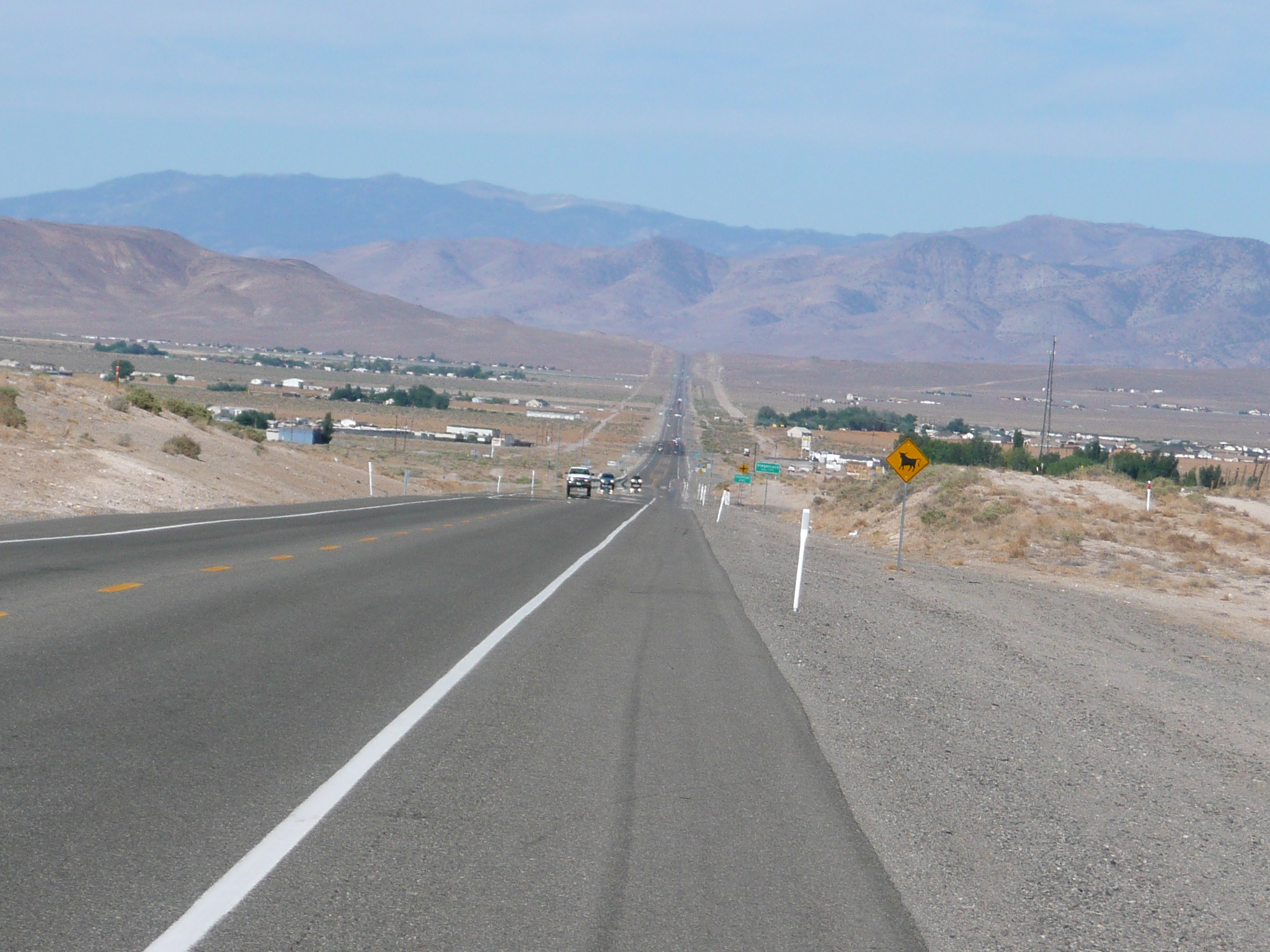
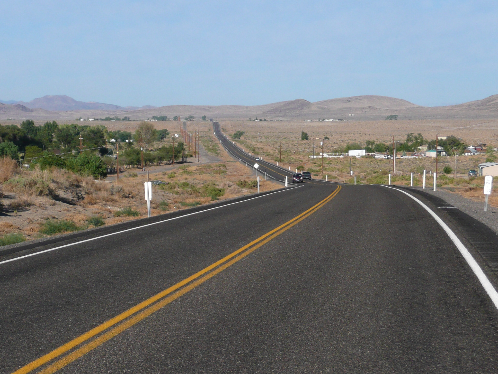
After climbing the hill west of Silver Springs, you can see the mountains ahead
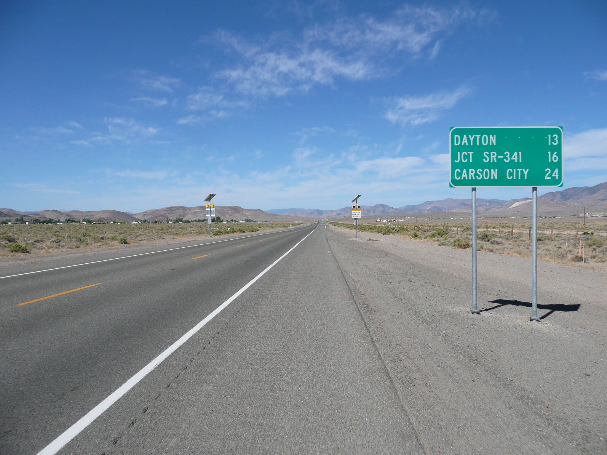
We get another climb before Dayton, those are solar powered "Chains or Snow Tires when flashing" signs
When I got to Dayton, which now has very long stretch of housing developments - "From the 200s" - and then a strip before you even get the town, I stopped at a mall and had a sub. It was about 11 AM, and I'd ridden 50 miles since having breakfast at 6 AM.

This is the high point on the route, after a climb out of Dayton that required my granny ring
On the other side of Dayton was the biggest, and steepest, hill on this route. I needed my granny ring and, thanks to the gentle tail wind, got pretty hot climbing it. I also thought about the wisdom of eating a large sub before climbing a big hill ;-}. The hill was only 300 feet or so vertical so it really wasn't that big a deal. The top of that hill was the highest point on todays ride
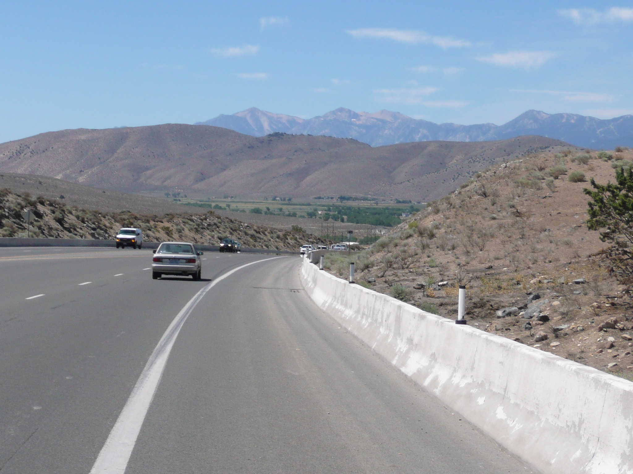
Heading down toward Carson City with real mountains ahead
After that hill, it down hill for half a dozen miles to Carson City. It starts out pretty gentle, but in a few miles I was coasting at 25 mph. The view of the eastern edge of the Sierra Mountains was nice. The shoulder became a bike lane - which lasted well into Carson City - and riding was easy.

Riding into Carson City wasn't bad while the great bike lane / shoulder lasted
I had avoided riding through the center of Carson City on my previous trip, but this year I followed 50 all the way in and out. That was fine until the nice shoulder ended and I had to ride several miles on a four to six lane road with no shoulder and heavy traffic.
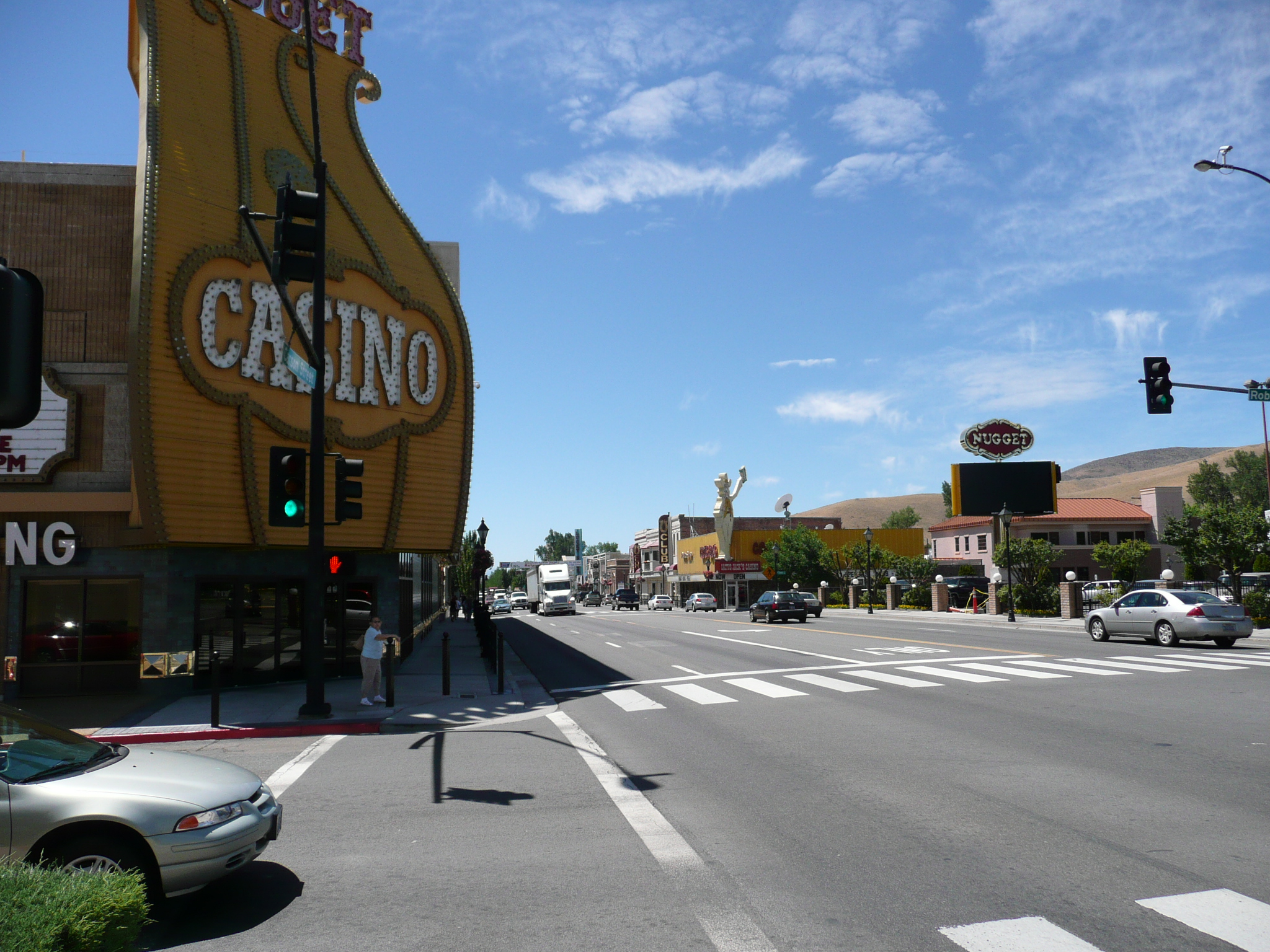
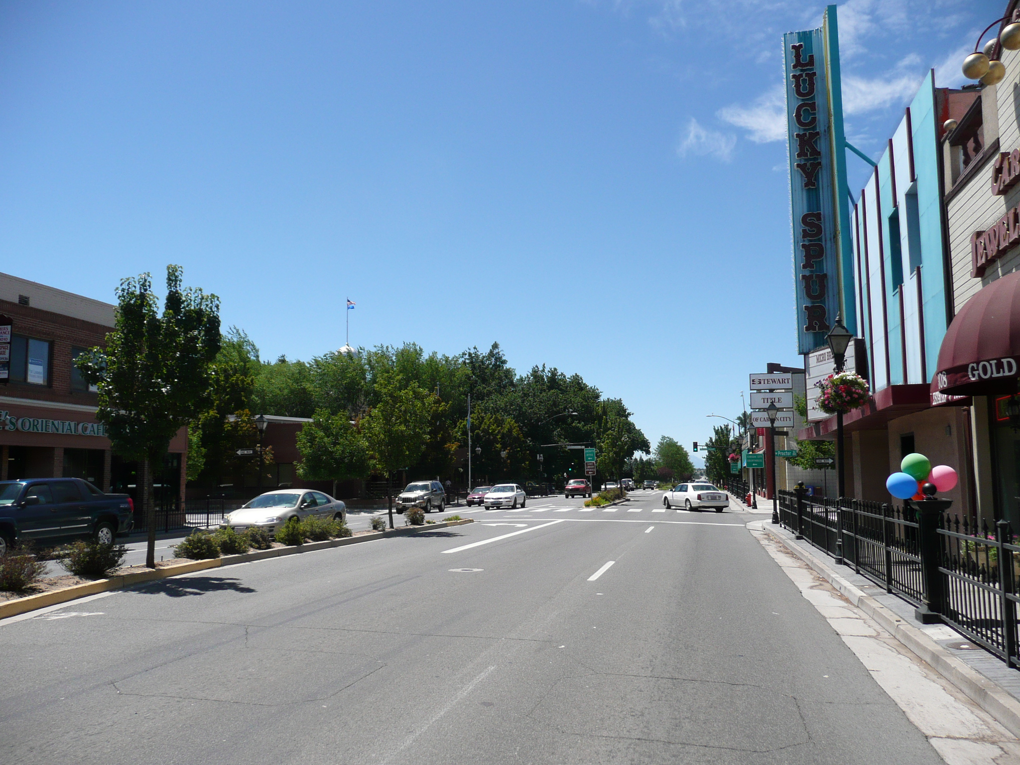
Here is typical Carson City downtown on US
50 heading south
It wasn't good bike riding - I'm on the sidewalk
here - and it got worse later in the strip area
After I left the downtown area where traffic was slow enough that I was usually able to keep up with it, I was on an expressway, with three lanes of traffic each way, a 45 mph speed limit, curbs, and a concrete median. The motel area I was headed for was on the other side of the road, but I managed to get over there OK. The east side of US 50 south of Fairview drive has a two way frontage road which makes life a lot easier for a bicyclist. Fairview Drive goes east and then north, changing its name twice, to reach US 50 near the eastern edge of Carson City. That is a much safer way to get to/from these motels (Motel Six, Super 8, and The Mill Motel).
Downtown Carson City has its good points, but it doesn't have any provisions for bicyclists. As always, Nevada driver were fine and the only times I felt insecure were in the six lane strip section south of downtown where semis were sharing the outer lane with me. It wasn't wide enough to be safely shared and there was no place to bail out if one of them came over into me. ;-{.


