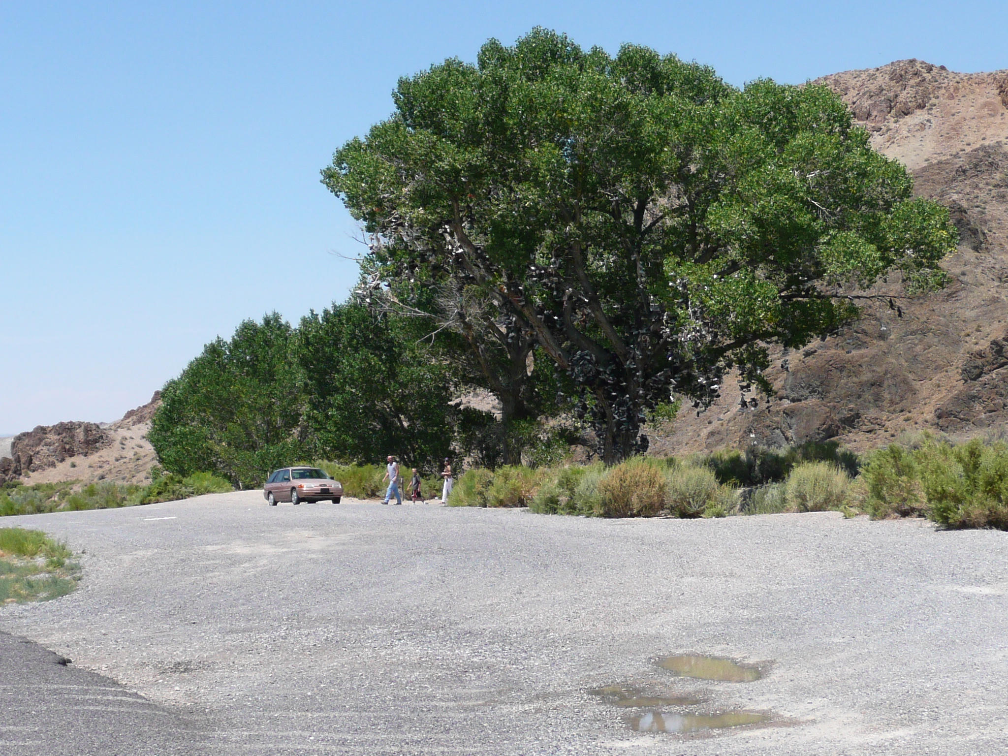
The famous Shoe Tree near Middlegate
The famous Shoe Tree near Middlegate
I expected the Shoe Tree to be near the end of my ride today, but it was actually in the middle of the ride. I left Austin at about 6:40 AM today and arrived in Fallon 11 hours later. I rode for nine and half of those 11 hours which is 45 minutes longer that it took me to ride the 116 miles from Woodward, OK to Dodge city, KS. There was only about 2500 feet of climbing today, so climbing was not a big factor in my speed, or lack thereof ;-{. Because of wind, this ride was about an hour longer. That is much less extra time than I thought it would take when I started out this morning.
When I stopped to take a picture of the Shoe Tree, there was a family there. When the father saw me, out by the road taking the picture, he said, probably to his son, "Look, there is someone riding across the desert on a bicycle!" There was awe in his voice. That made me feel good.
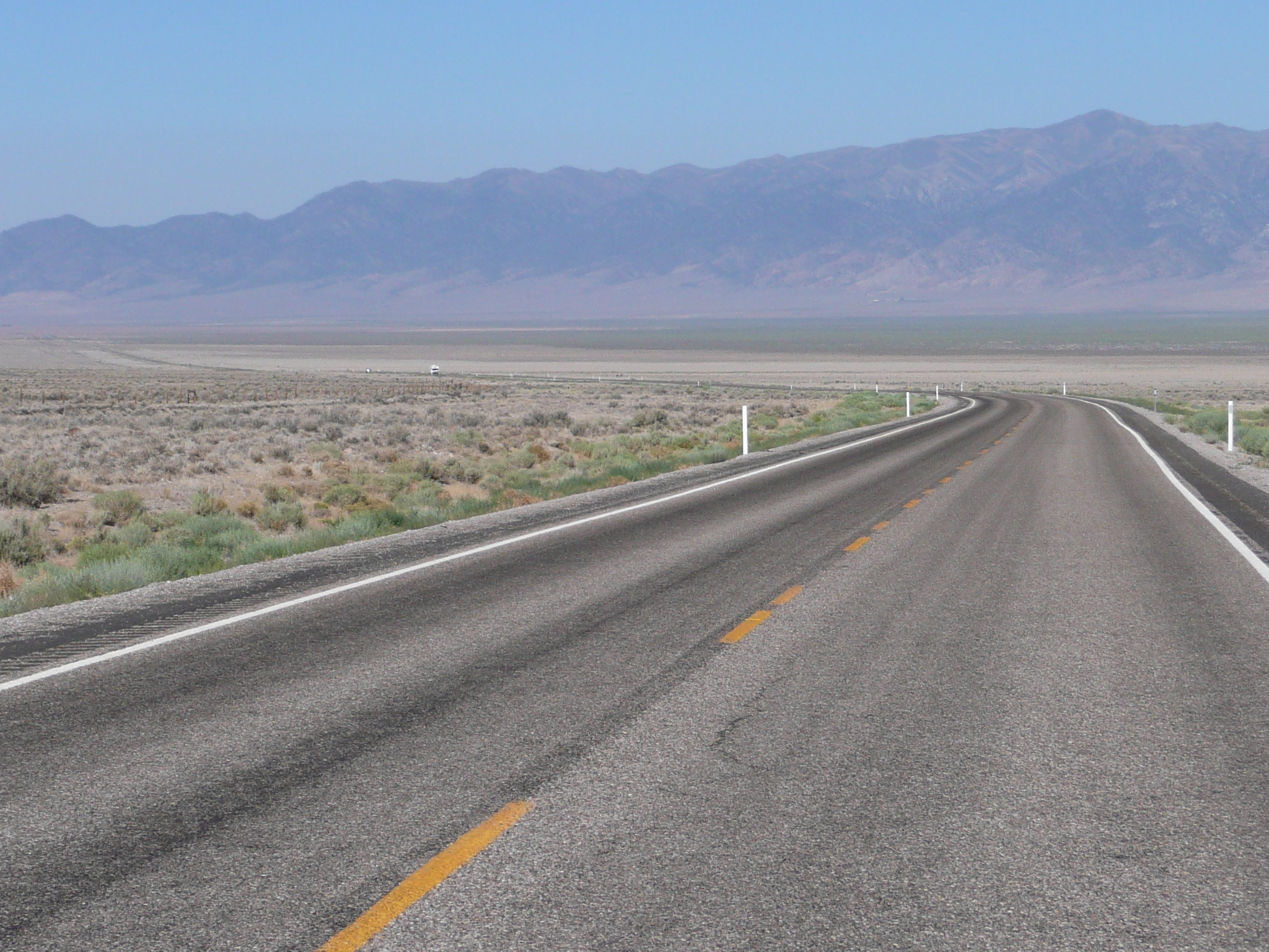
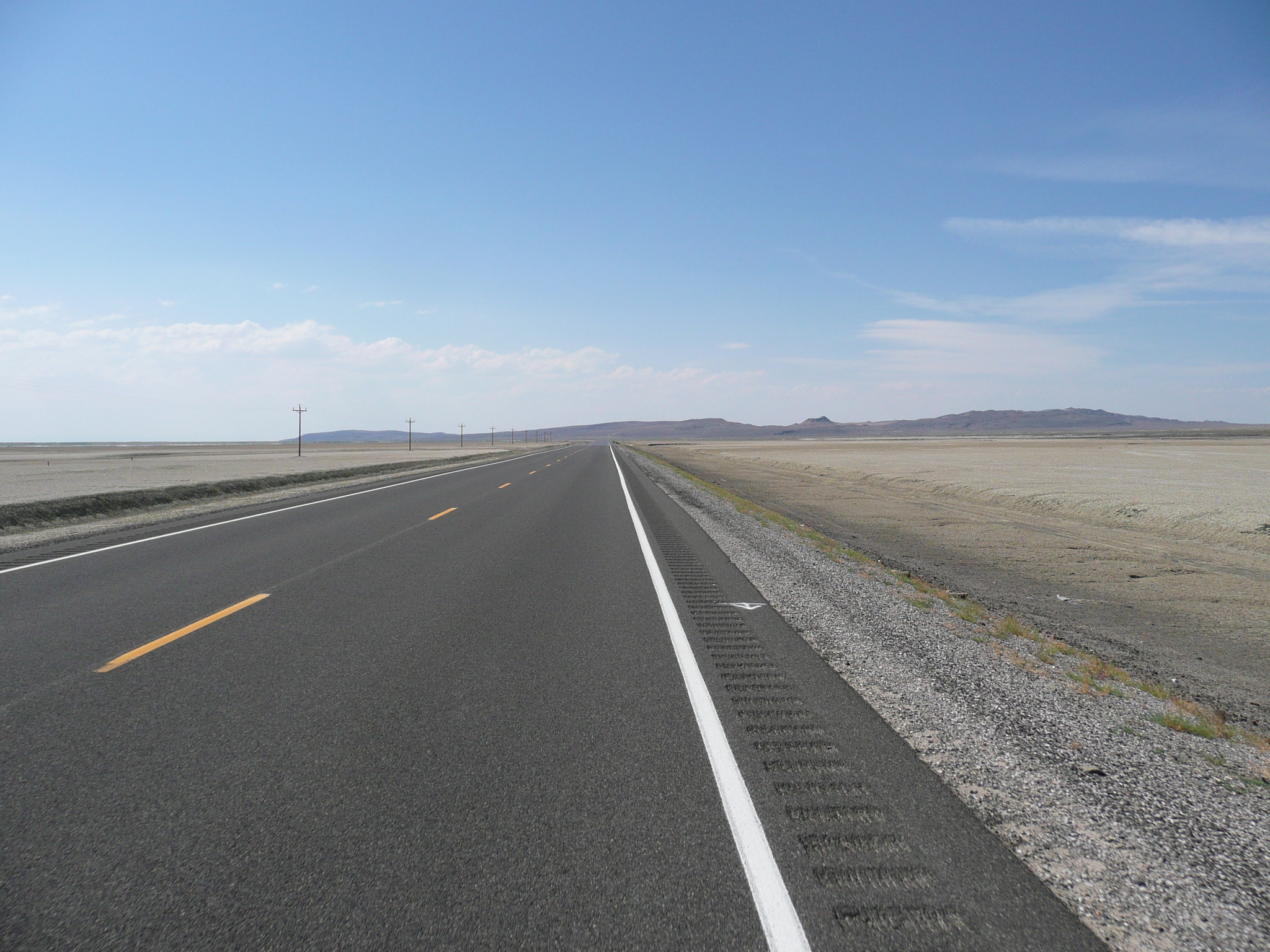
US 50, heading across the big valley west of Austin
When I left Austin about 6:40 this morning, I wasn't sure I was going to have a good day on the bike. even after a good nights sleep, my legs felt tired and I was not looking forward the ride after the wind came up. Yesterday it came up at about 9 AM, so I thought I'd only have about two and a half hours of enjoyable riding, followed by many hours of grinding into the wind.
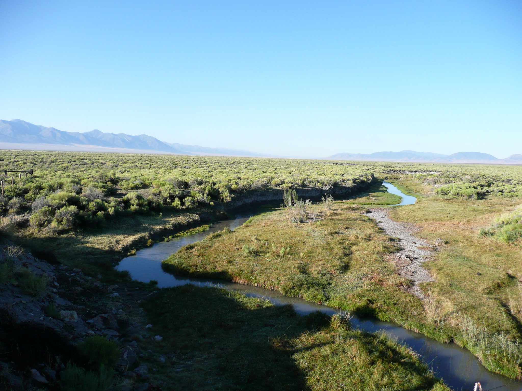
The Reese River in the middle - 8 miles from Austin - of the first valley has water in it!
Still, it was nice morning and, as I rode, I began to feel better. The desert in the morning is at its best and, despite my best efforts to worry about the bad riding later, I was really enjoying myself by the time - about an hour - that I got across the first big valley.
Easy climbing towards the first summit
I had checked, as best I could, with Google Earth and it looked like the climb out of this valley was gentle and not too high. It looked impressive as I rode towards the ridge, but the actual climb was not a problem. I didn't even need to use my granny. The scenery was nice, the temperature was comfortable, and, dammit, I was throughly enjoying myself!
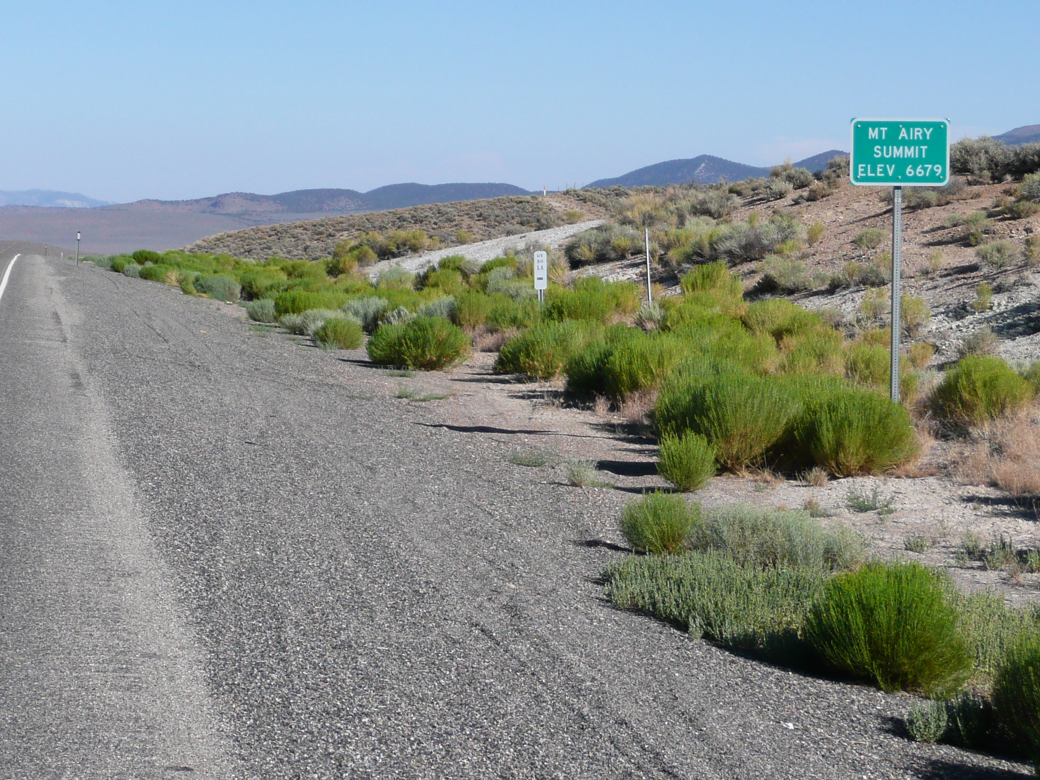
The first summit
The first summit was at 6700 feet, only a little higher than Austin, but I'd climbed about 900 feet to get there. Then US 50 went down a bit, not really into a valley but more like a plateau, and climbed a little - not much more than 100 feet - to the second summit.
Heading for the second summit
The second summit
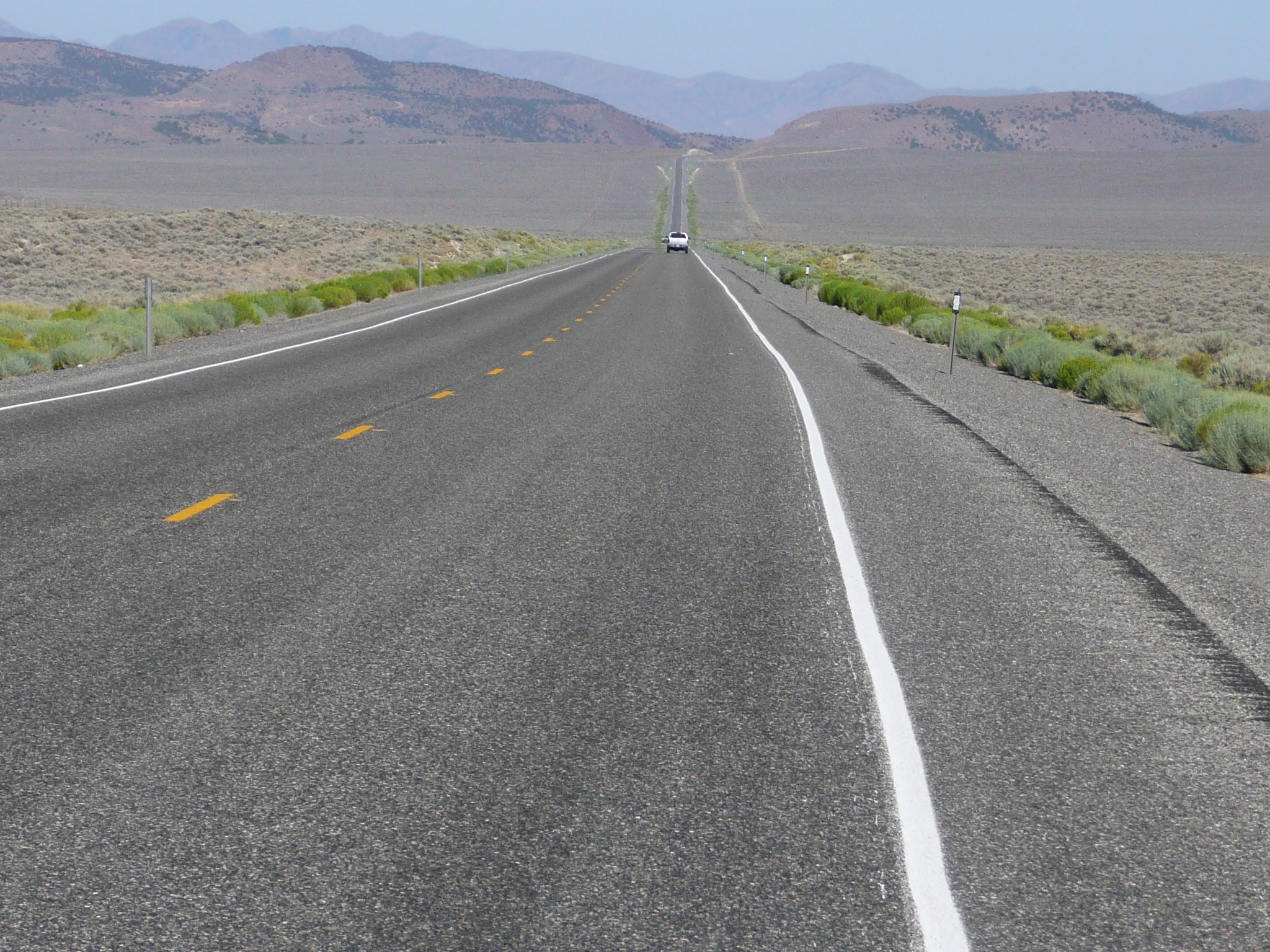
It was now about time for me to take a break, but I was having too much fun and I didn't want to waste any of the good wind time, so I continued on down into the next valley. It was a long, fast, well engineered, descent. I am very impressed with the way US 50 in Nevada is engineered and constructed. On this stretch, which had some of the worst looking pavement on US 50 in Nevada, the road was still smoother than almost all of the roads I rode in Utah or Colorado. Moreover, the route through this set of ridges seemed extremely well thought out for minimal ridge blasting and a remarkable uniform grade. The last time I rode through Nevada, I got bored by the very uniform grades. This time I enjoyed them.
The nice descent after the second summit
Cruising at 16 mph in the second big valley
Stopped for a break after 3 hours of riding and almost 40 miles
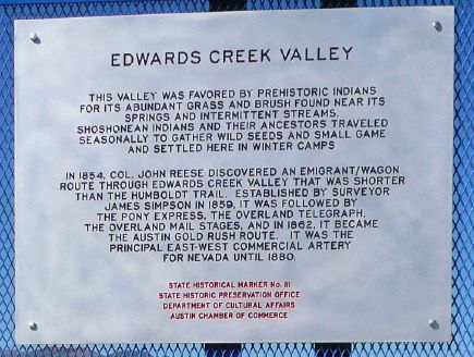
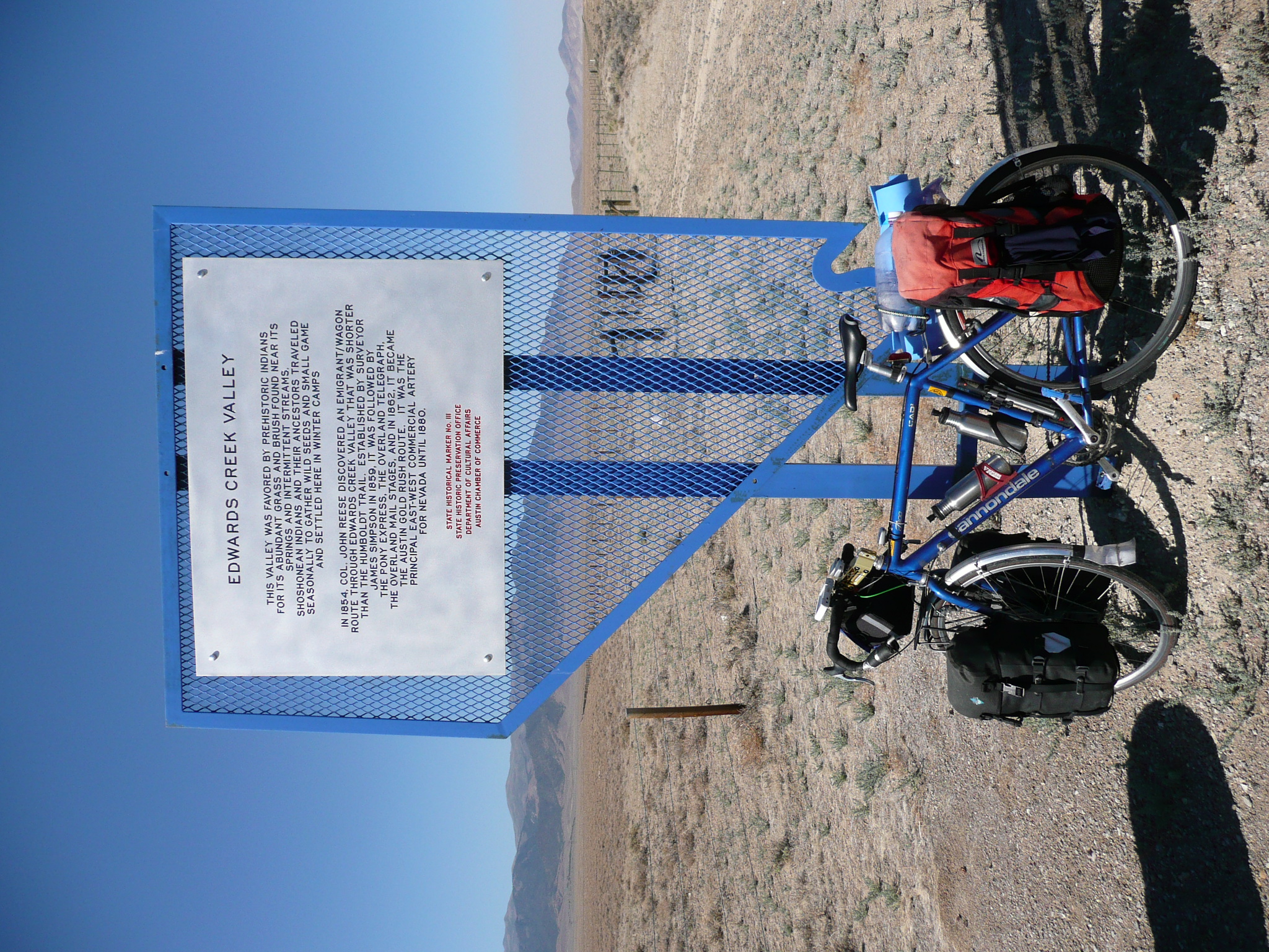
So you can read the information about this valley
When I reached the next valley, the wind still was good, so I continued to cruise at 16 mph or so. I rode, without a break for almost three hours, instead of the usual two, and, finally, stopped for a break when I reached a historical information pull off. There is almost nowhere to get off the road to sit and eat and very few things on this road that will support a loaded bike, so I took good advantage of the 'Edwards Creek Valley' stop. It was a very pleasant stop, but, sure enough, the wind picked and switched directions while I was there.

Heading back down after the climb to Cold
Springs
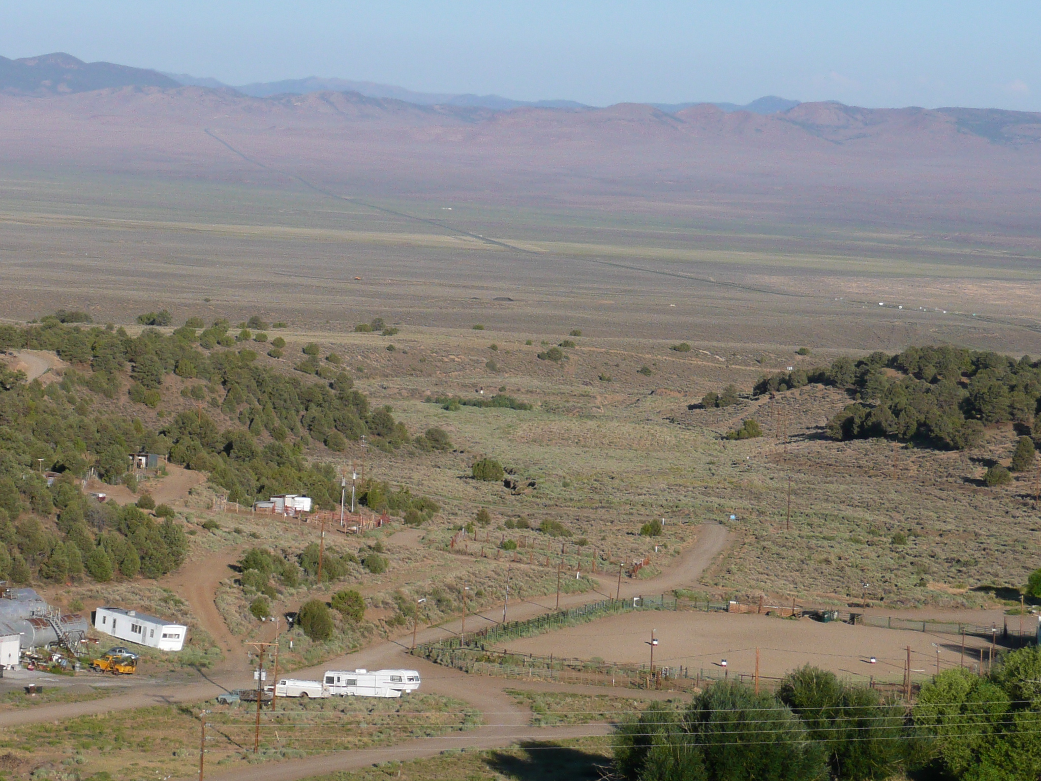
The Shoe Tree is not far past the right edge of this image
I continued on down the valley, at about half the speed I was making before my stop, but, since I had already covered almost 40 miles in that good first three hours, I figured it was OK if I had to grind my way to Middlegate for another three hours. Fortunately, it only took me about two hours and fifteen minute to get to Middlegate.
After an hour or so of grinding, I came to another hill. I didn't think, based on Google Earth, that it was a big hill, but it did have a chain on/off area at the bottom. I had been looking for Cold Springs, a place where there were services between Austin and Middlegate, and I found it at the top of that hill. I stopped, thinking I would eat lunch there - it was 11 AM - but it turned out they didn't start serving lunch till noon. Oh well, it was only a dozen miles more to Middlegate and I had snacks with me if I needed them.
I continued on, mostly downhill, to Middlegate. I spotted a familiar place in the ridge on my left, the canyon where the old road goes into the ridge, and entertained myself by trying to get a good picture of it. It was long way away so, even with my 420 mm telephoto, I never got a good one, but I had a good time trying.
When I got down to the last couple of miles to Middlegate, the road was flat and headed almost directly west. I expected that section to be a hard grind into the wind, but it wasn't. There was still some wind, but the strong wind had died down to a moderate side/head wind. The forecast for Austin had shown the wind peaking around ten AM and the becoming moderate in the afternoon. I decided to take the chance that that forecast would continue to be valid and ride on to Fallon.
I reached Middlegate, after riding 63 miles, at noon and had another excellent hamburger and fries with iced tea for lunch. I visited with the folks at Middlegate about some nice folks from Fallon I'd met there in 2004 and then, about 1 PM, headed for Fallon which is 47 miles further. I figured, if the wind conditions didn't worsen, I'd get there by 5:30.
Heading west from Middlegate
I'd ridden
63 miles at this point
US 50 west of Middlegate is flat for a while and then climbs to a low summit. The big valley after that summit is used by the Navy for pilot training. It has mock villages, a naval base, and other interesting stuff in it, as well as the usual sagebrush and a large sand flat in the middle. Today a helicopter modified to fight fires flew up the valley to the base as I rode across the valley. There was also a big fire truck and a water tanker out in the valley and that water tanker later passed me heading towards Fallon.
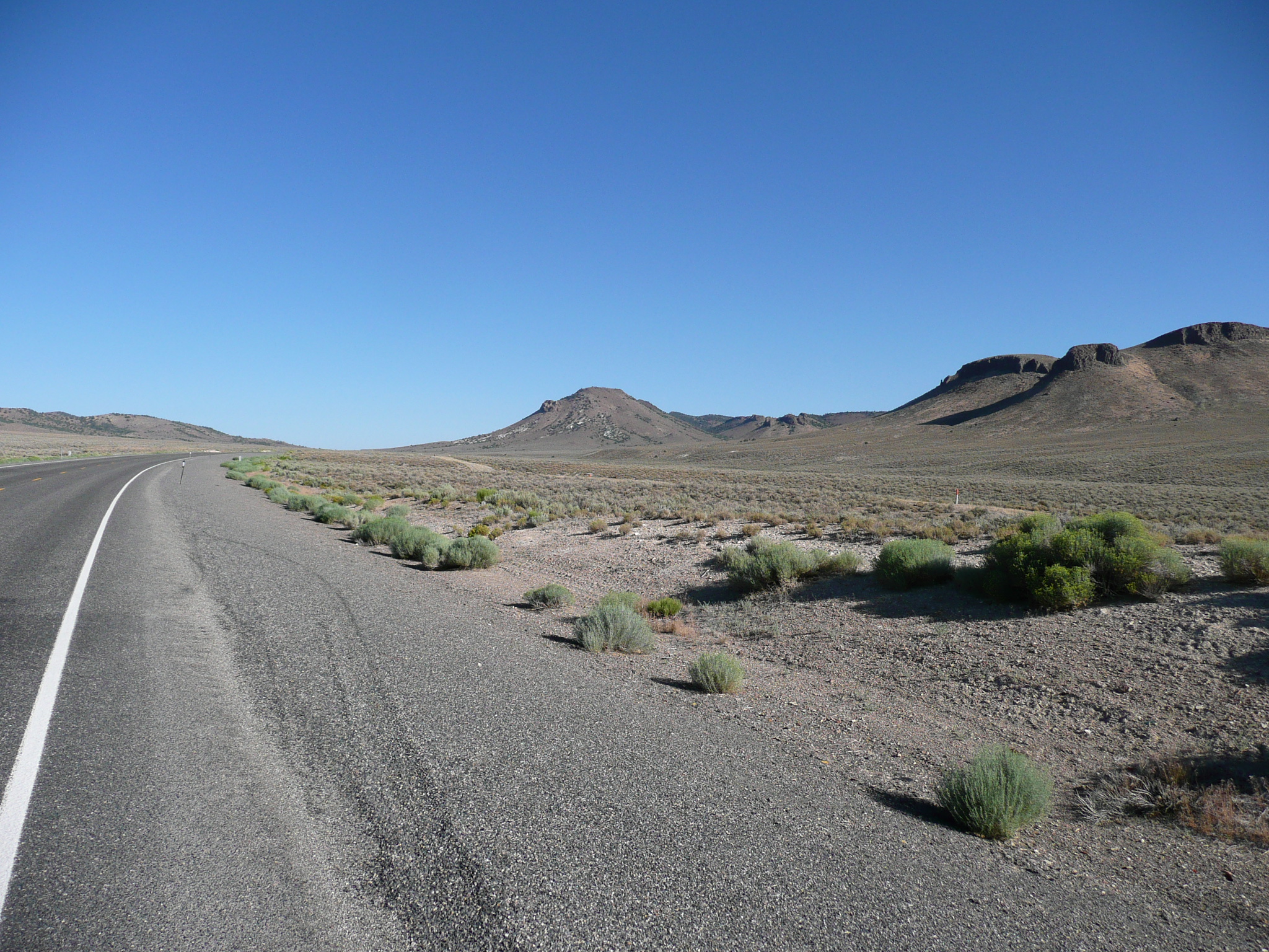
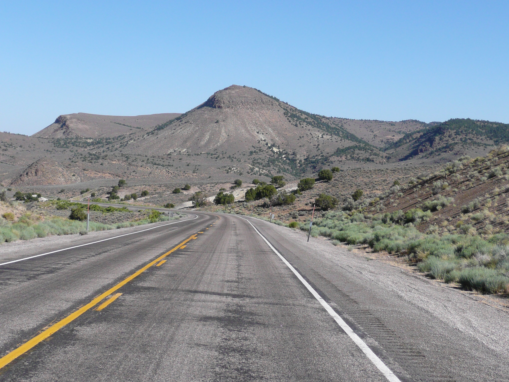
The start of the climb to the next summit
The next summit
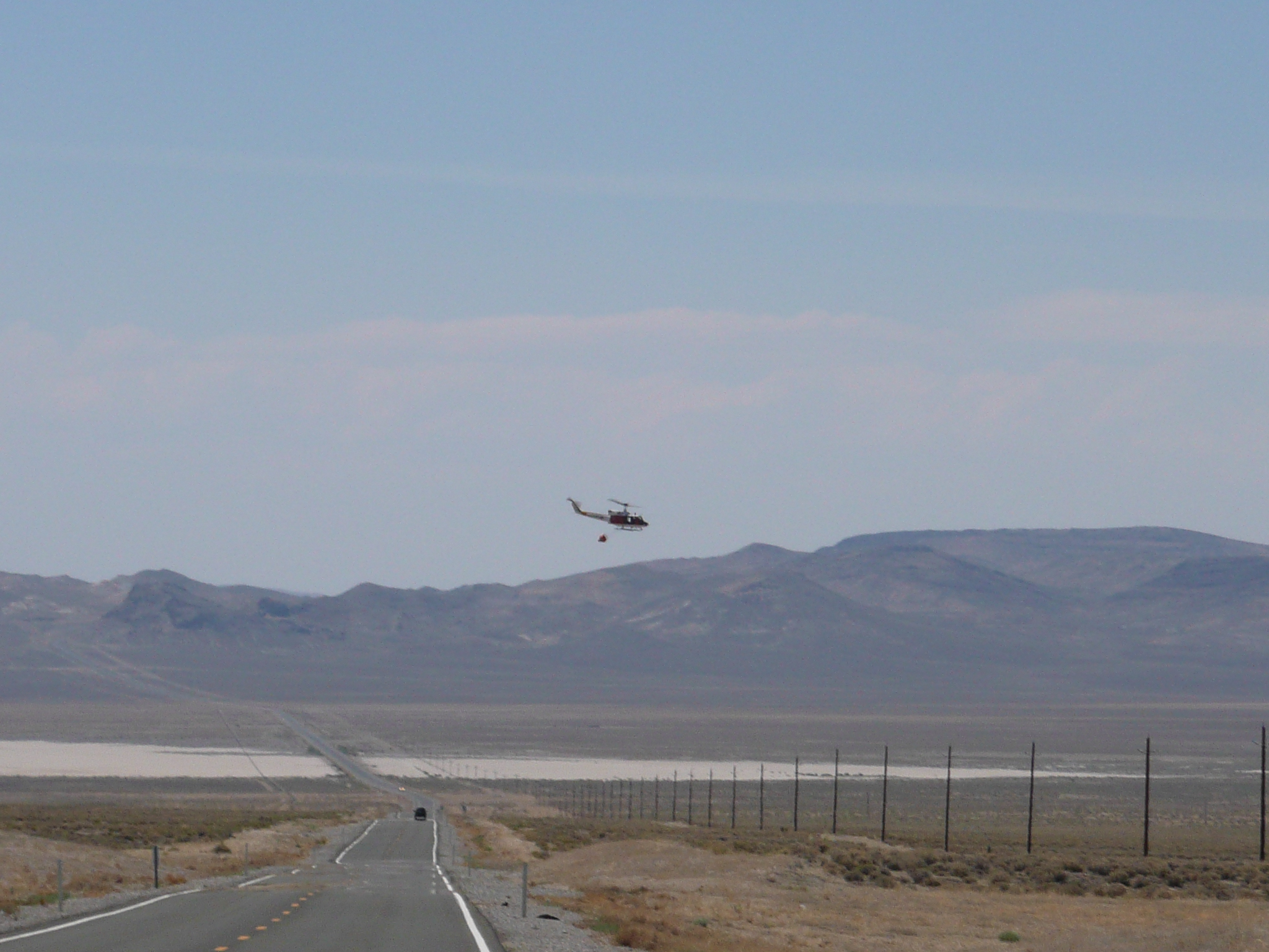
A military helicopter with a water bucket
for fire fighting in the next big valley
There is a lot of Naval
Air stuff in this valley
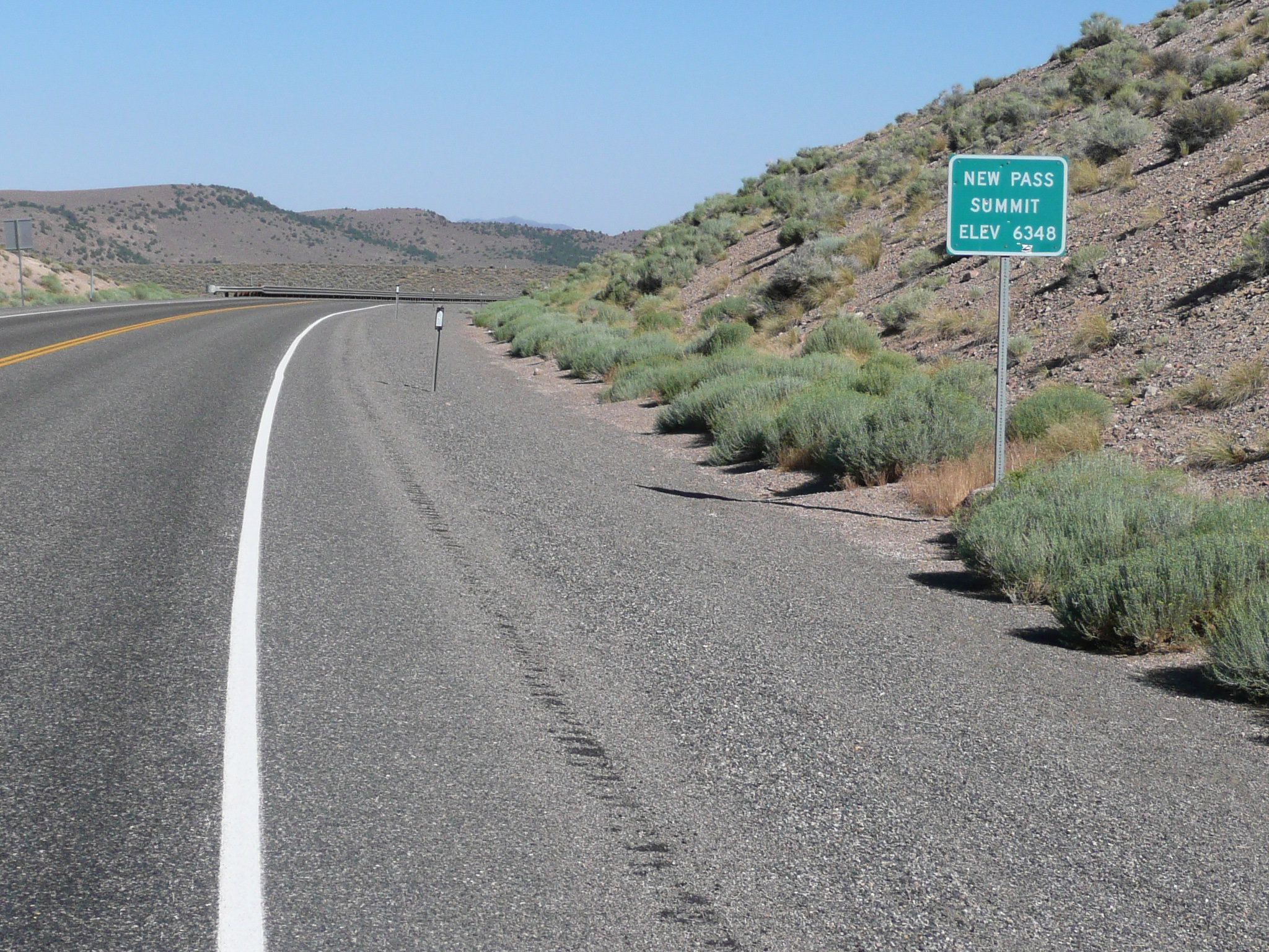
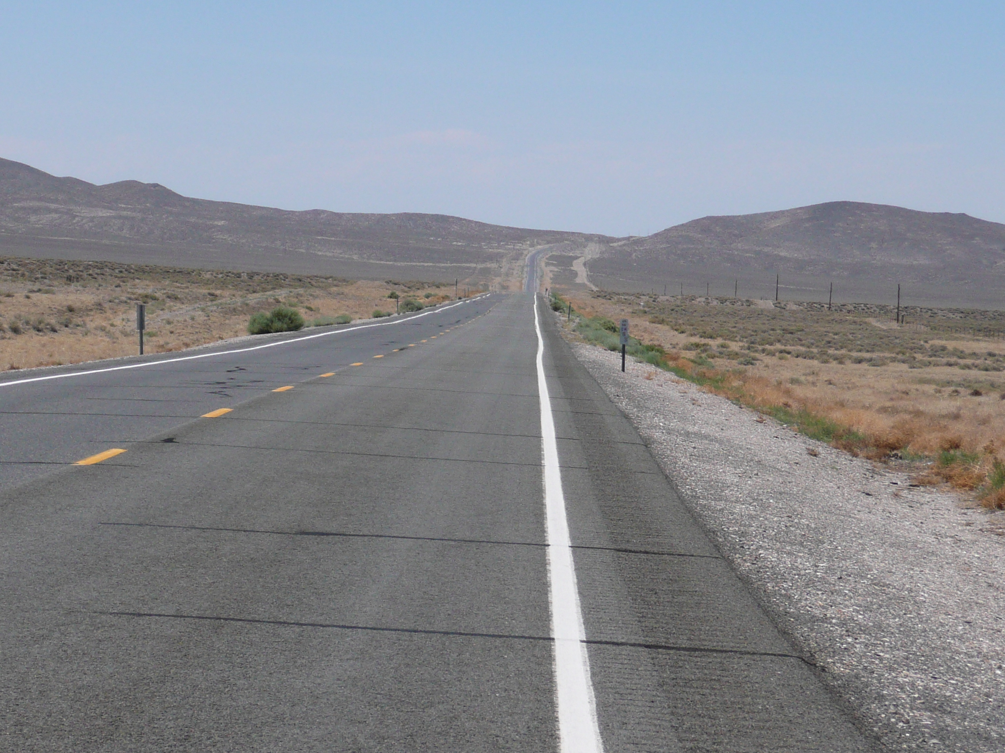
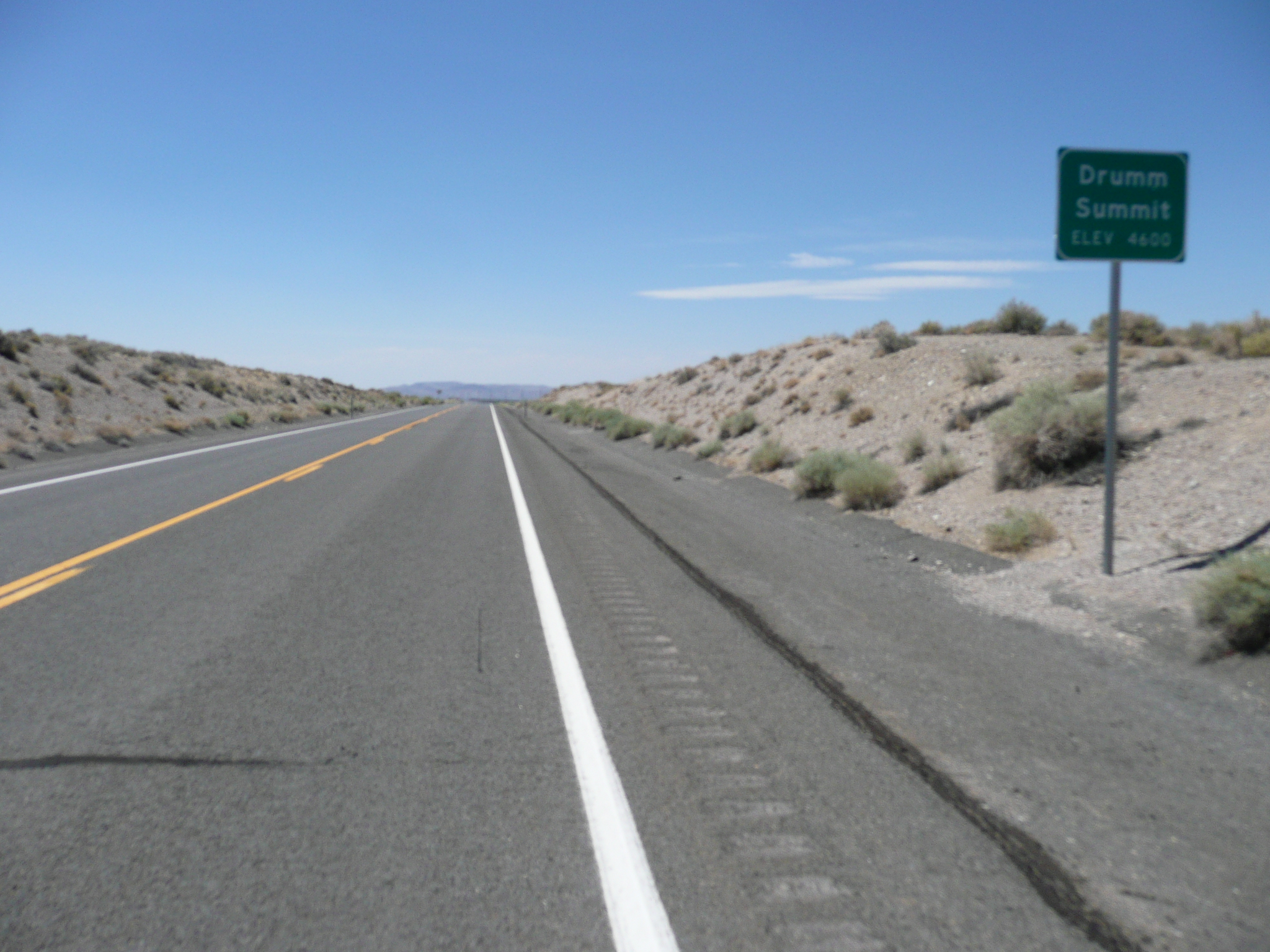
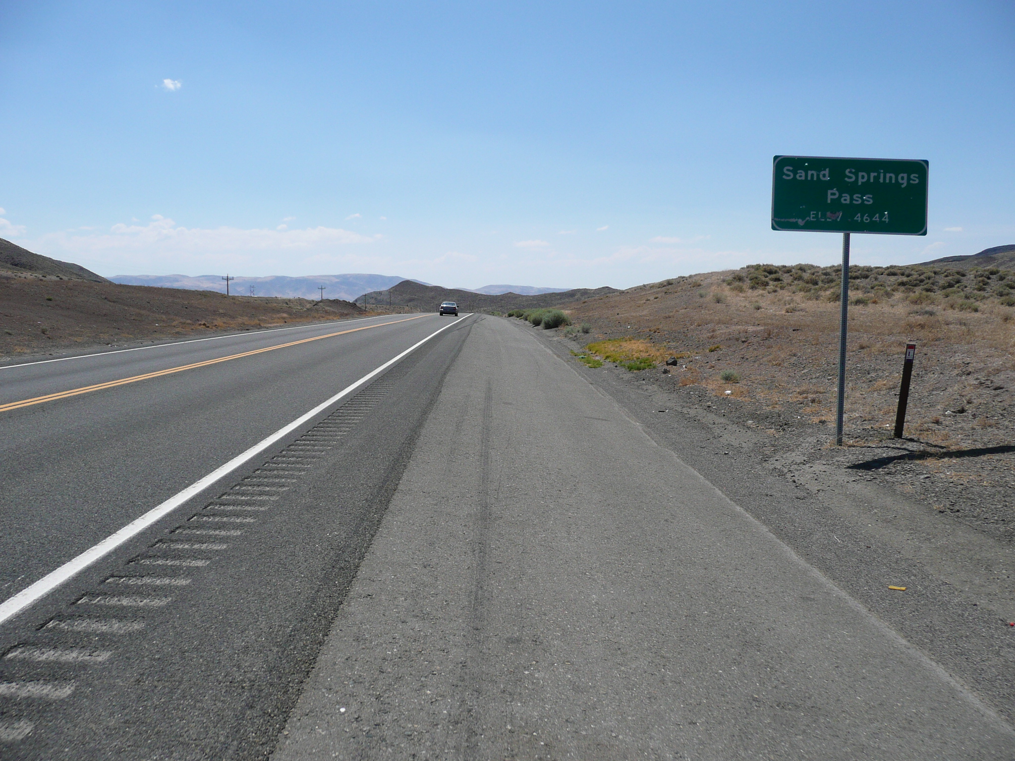
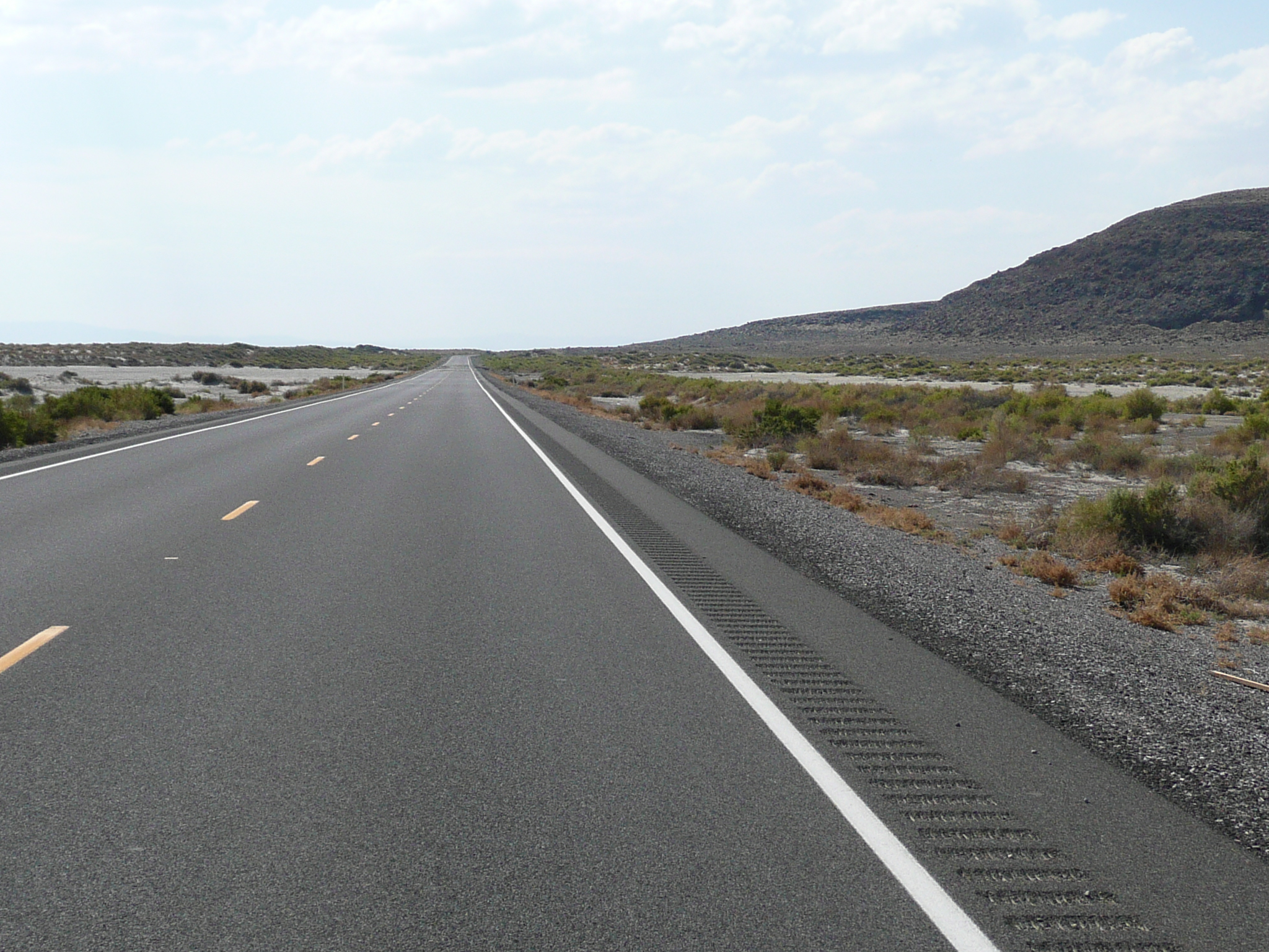
It is a much longer climb up to the next summit and that summit is marked as Sand Springs Pass rather than a summit. I have no idea why some summits are summits and others are passes ;-}. The descent after that pass is long and the valley it ends in is the valley where Fallon is located, some 25 miles after the five mile long descent.
The last pass on the way to Fallon. The five mile descent is followed by 25 miles of relatively flat riding
What much of the riding after the long descent from Sand Springs Pass looked like
It wasn't fast riding today on the last 25 miles to Fallon. The wind usually limited me to 11 mph or so and often to 8 mph. There is some interesting stuff near where US 50 comes down into this valley: Sand Mountain - a beautiful permanent sand dune, The loneliest phone - solar powered and microwave connected near Sand mountain, and a chemical extraction plant out in the middle of a big salt flat. Then it gets pretty boring ;-{.

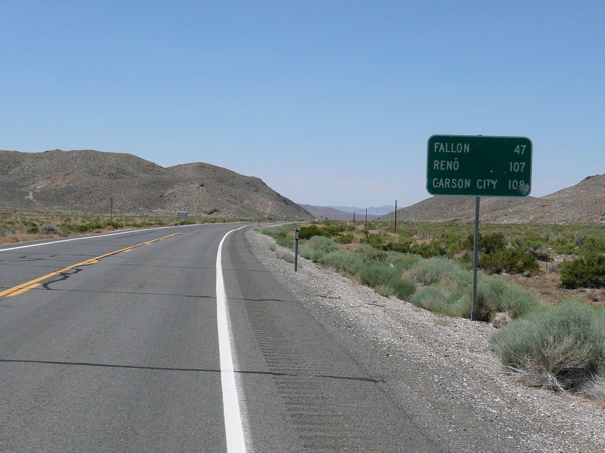
The only services between Middlegate and Fallon
Where the road curves is about 100 miles from Austin and 10 miles from Fallon
I stopped 100 miles from Austin to refill my water bottles, and snack, for the last time. I used over four liters of water on the ride between Middlegate and Fallon. As I pulled away from that stop, a pickup truck passed me, slowed down, and pulled over onto the shoulder. A soldier got out, opened the back door - it was club cab - and pulled out a jug of water. He asked if I needed any water and I told him I had some, and thanked him, as I rode by. That was very thoughtful. It would be very easy to run out of water out here and, with ten miles still to go to Fallon, very unpleasant!
In Fallon they were having a Farmers Market, so I picked a nearby motel, cleaned up, and went to the market to see about supper. I waited in line for 20 minutes to get and Indian Taco (on freshly cooked fry bread) and it was worth it. The people watching was also great fun. Perhaps because of the large Naval Air Base here, there is a great diversity in the population.


