Four passes, with a total of 3750 feet of climbing, in 77 miles
Four passes, with a total of 3750 feet of climbing, in 77 miles
It was another hard day today with nearly 4000 feet of climbing in 77 miles. I started very early - I was at McDs at 5:30 AM - and on the road by 5:45. That was a good move except for the strong wind that was blowing through Ely at that time. I ground my way out of town into that wind, hoping it was a local canyon effect. It was, and after half an hour I was riding in windless conditions. I got a bit chilled - temps were in the 50s - in that wind, but warmed up nicely once I was out of the canyons and in a open, sun drenched, valley.
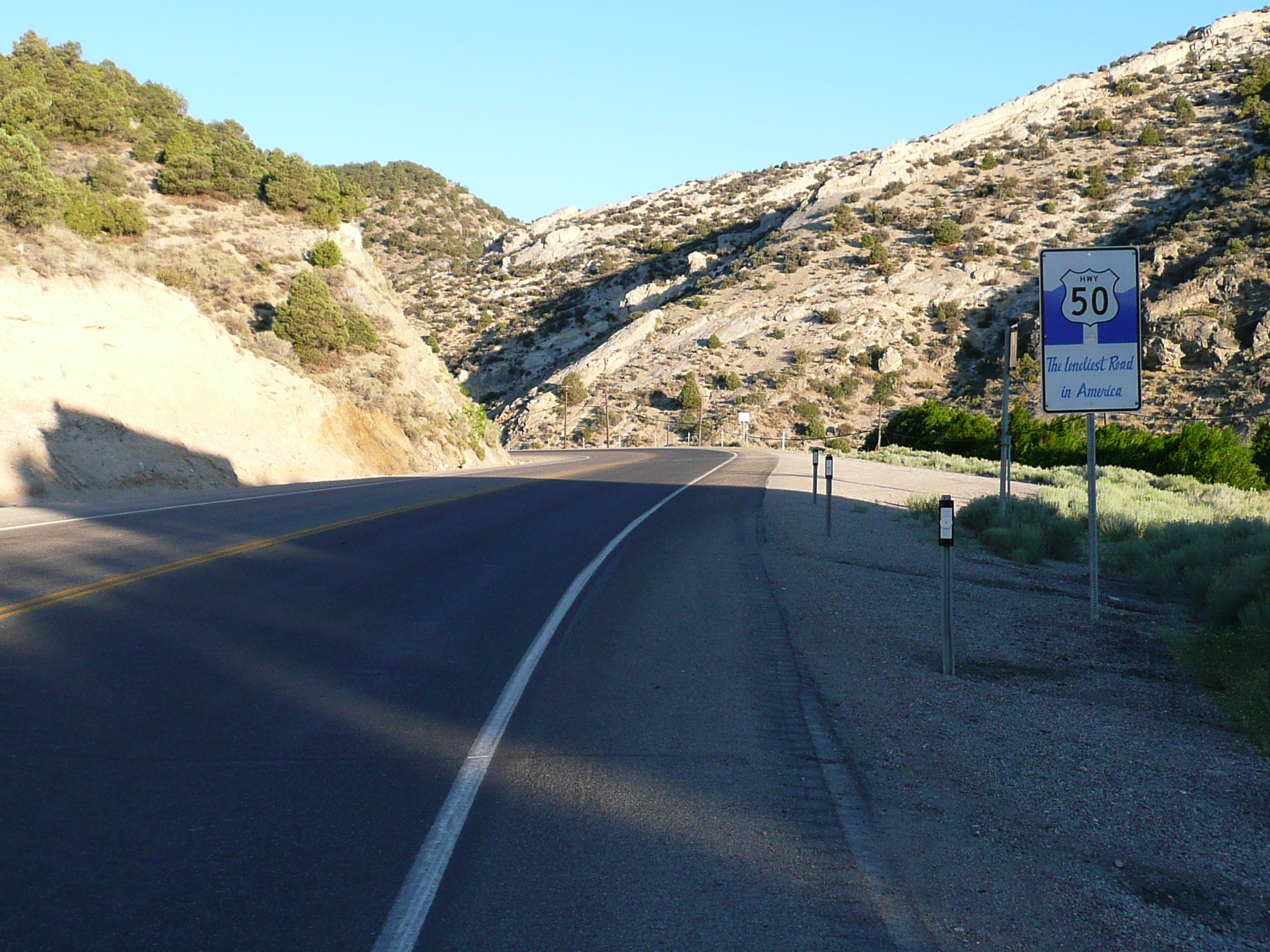
Leaving Ely on US 50, "The Loneliest Road in America" before 6 AM
Riding was lovely once I got past the places where locals were going to work at 6:30. Very peaceful, very pretty. Excellent riding along the floor of an open valley. After a while, the valley floor began to climb and, after 16 miles and maybe 800 feet of climbing, I came to a chain put on area. I stopped for a break, then rode on knowing that I only had a few hundred feet to climb.
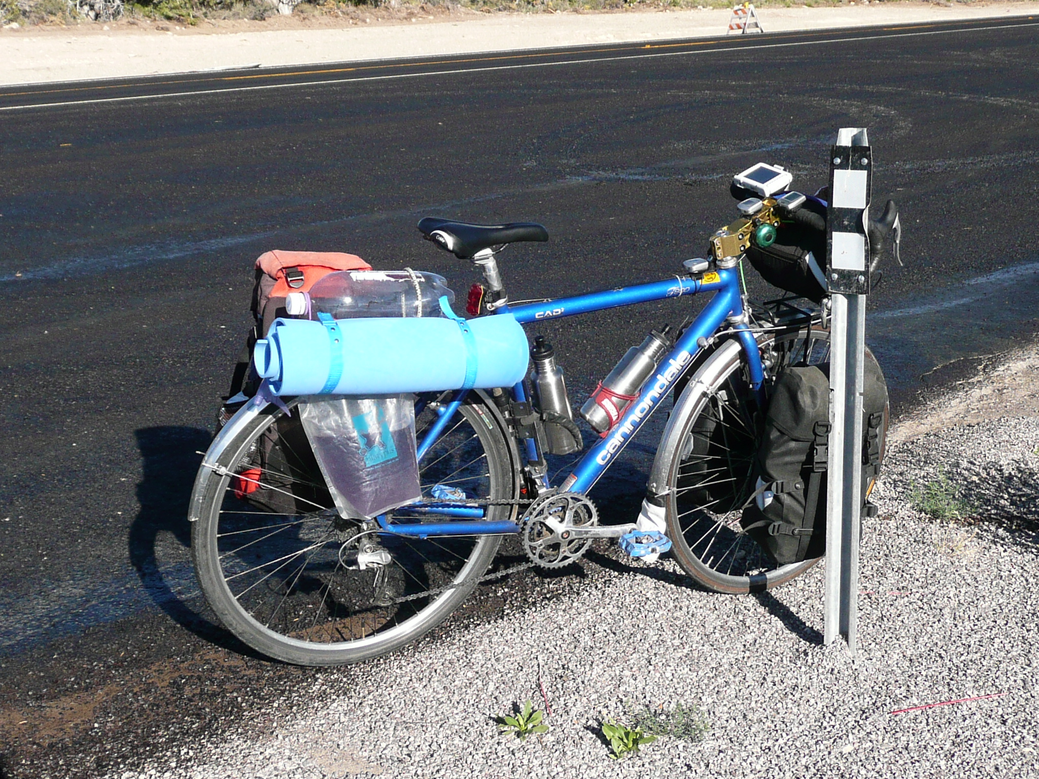
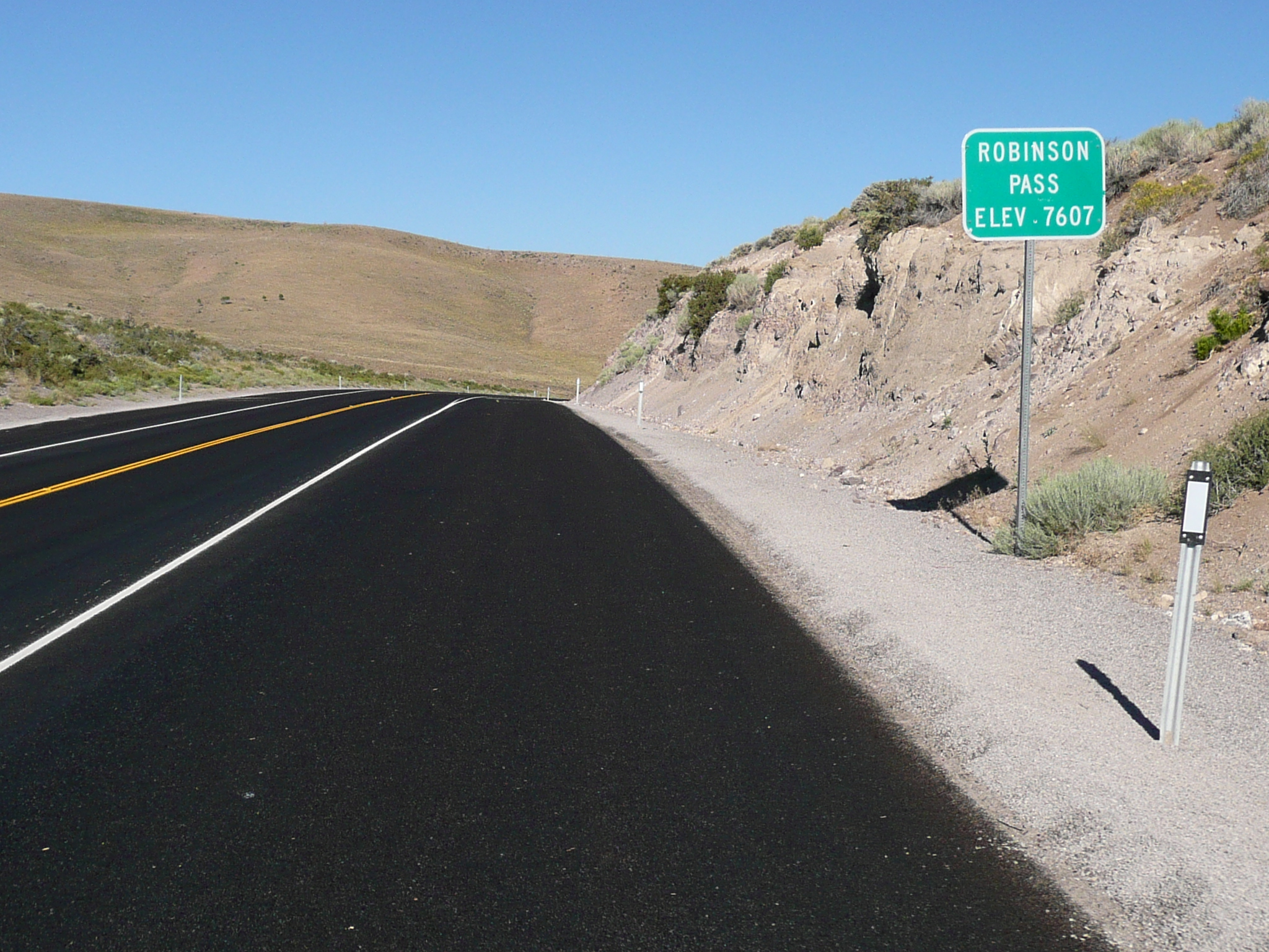
My bike at my first rest stop, the chain on area for Robinson Pass
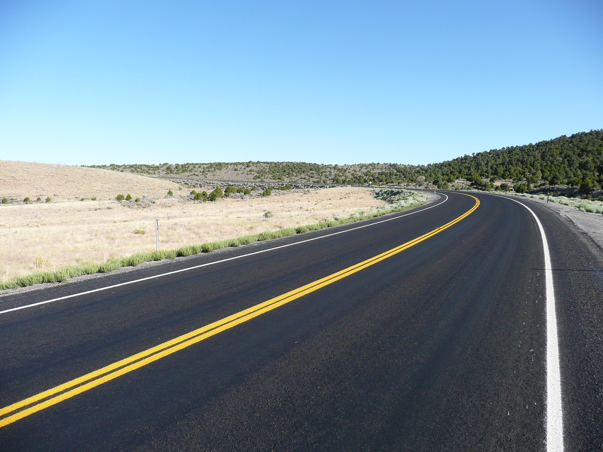
Climbing just before the top of Robinson
Pass
Note the trees, made possible by increased rainfall at 7700
feet
Ely and Eureka are both at about 6500 feet. I knew, from my last ride through here, that I rode the highest pass yesterday, so today nothing could be more than 7600 feet. I was at 7300 feet when I took my first rest break.
After Robinson Pass, there was a long, fast, descent into a big valley. I remembered that descent as a long hard climb in 2004. Then I cranked across that valley for a long time - big, I said! - and took my second rest break on the far side where there was irrigated farm and ranch land. The bright green fields really stand out in an area that is mostly muted green and brown.
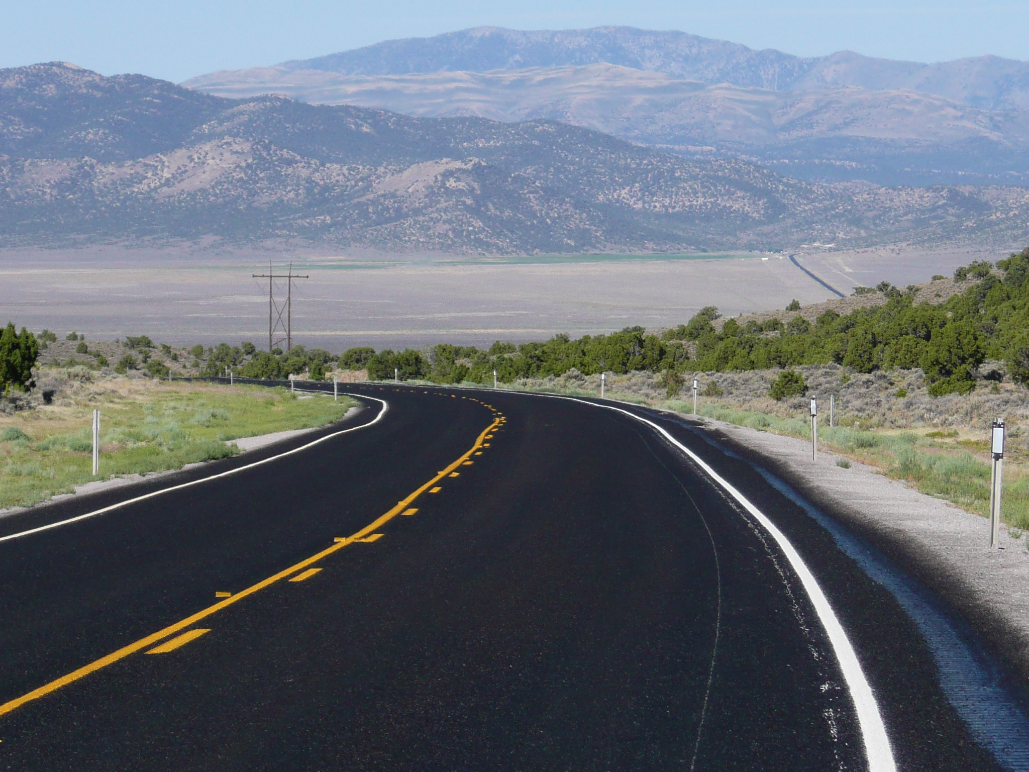
Going down into the next valley
Note
the black pavement of US 50 running across the valley floor
and the
green area on the other side of the valley
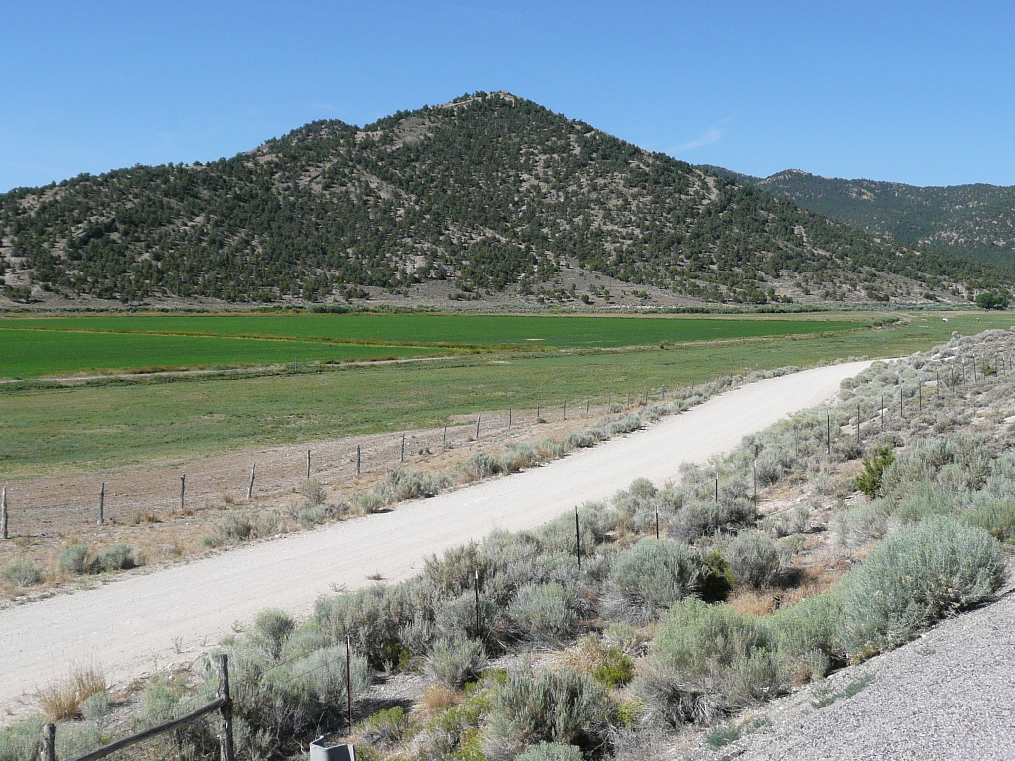
Here is a small part of the farm/ranch
that created that green area with irrigation
I took a break at this
pretty place
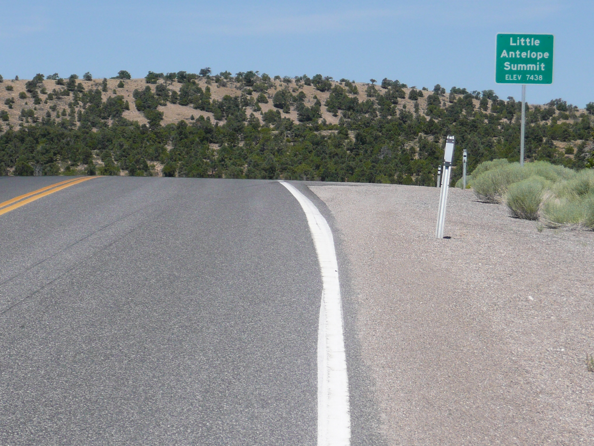
Then I rode though a long series of hills and canyons, with little climbing but a lot of wind in some places, before climbing up to a second summit, Little Antelope Summit at 7438 feet. The climb up was long, but the descent down the other side was much longer. The descent went on so long that I got bored with it, reminding me how the climb seemed to go on forever when I did it in 2004! For both Robinson and Little Antelope, going east seemed much harder than going west. That was true for the passses yesterday as well, but, unfortunately, not for the last two passes today.
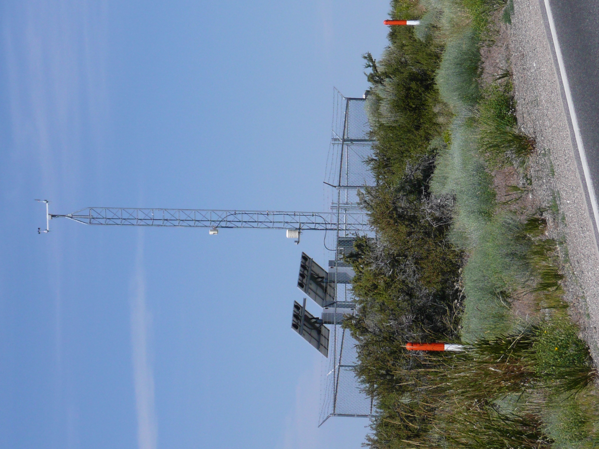
A solar powered remote weather station at
Little Antelope Summit
In Nevada, these station are at every
pass/summit
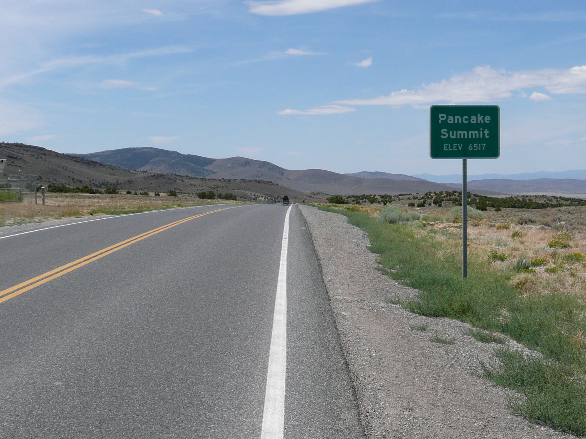
The next valley went down in a series of steps as I rode across it. It went down to the altitude low point of the day and then it started gently up the next series of hills. It was getting windy, with gusty winds from the south, but the road across the valley ran a bit north-west so I had a side-tail wind. The gentle climb soon ended in a steep (6 or 7%) grade that ran pretty much directly into the wind. Then there was a short descent and more steep climbing till I reached Pancake Summit. In this case, the climbing was harder going west, but Pancake Summit is low - 6500 feet, so it wasn't a big deal either way.
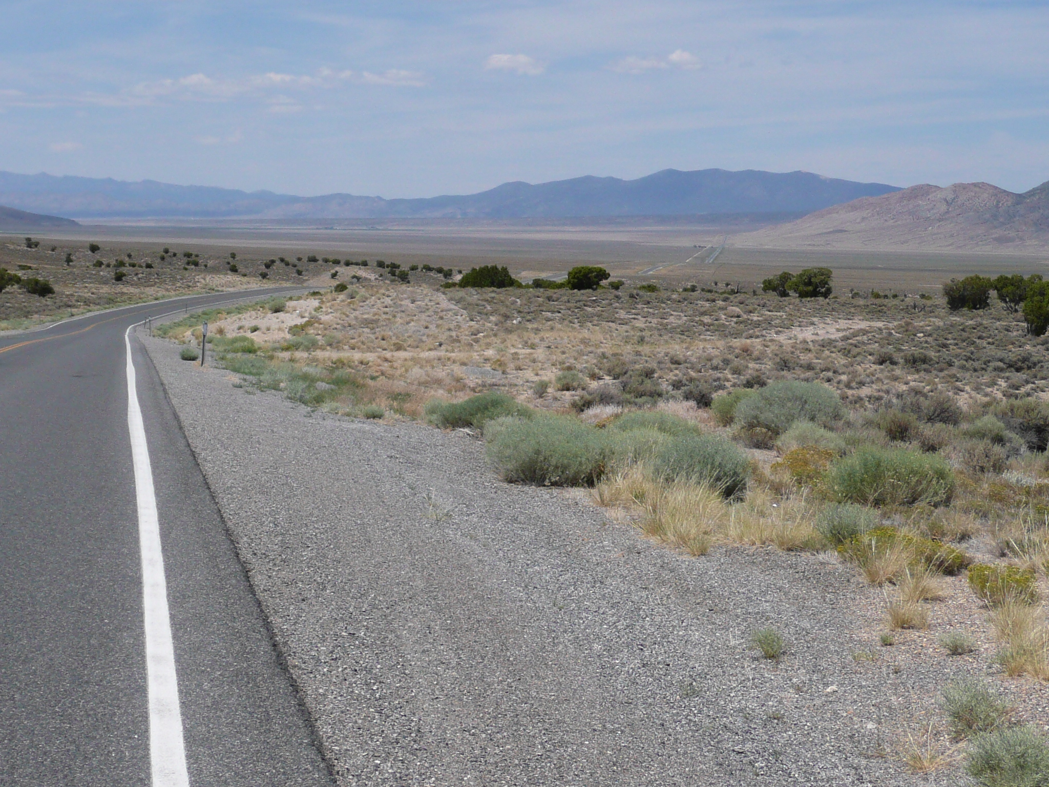
The valley after Pancake Summit. You can
see US 50 going across the valley floor
I took a break - in high
wind and heat - near those trees - black dots in this image - on the
other side of the valley
The descent from Pancake Summit was really slowed down by wind, and then there was a long stretch across a valley with strong, gusty, side winds. I stopped near some trees to take a break - I had been riding for over six hours at this point and was tired. I leaned my bike against a sign that said it was 15 miles to Eureka and sat with my back to road, and the wind, to rest and snack. I knew - from the maps on my GPS - the US 50 turned north after another few miles and I thought the riding would be easier after that.
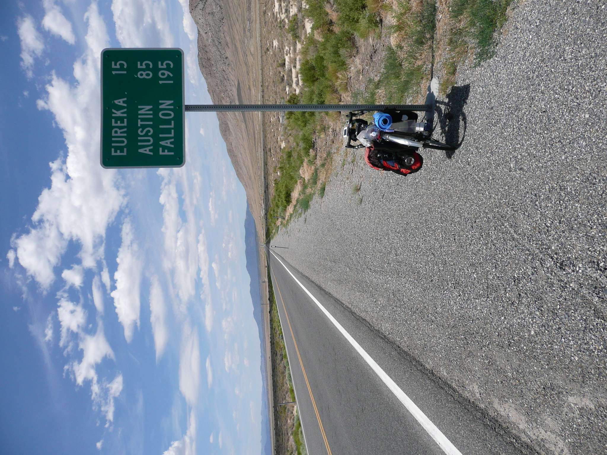
My bike near those few trees
I cranked on the high winds, able to do only 6 to 8 mph until the road turned north. That took quite a while - both getting to where it started turning and getting to where it finished turning and there was a good bit of climbing required. Finally, the road went into a canyon heading north where I thought I'd be cruising with a tail wind.
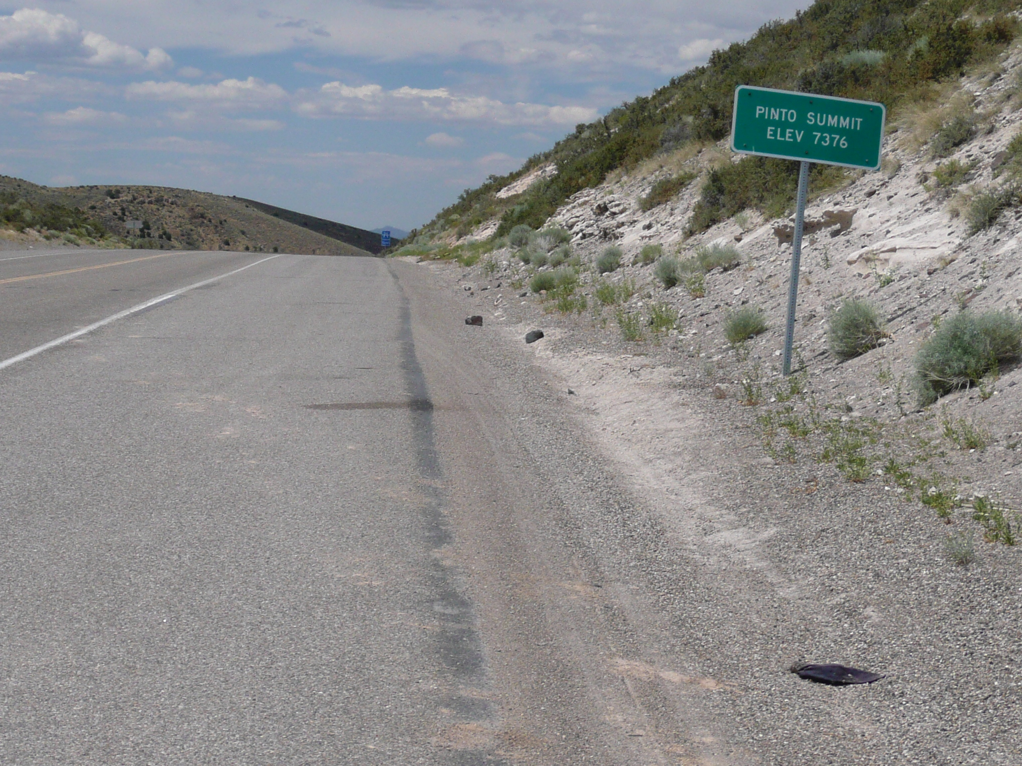
It didn't work out that way. I found myself climbing for half a dozen miles up to yet another summit - Pinto Summit at 7400 feet - before descending to Eureka at 6400 feet. That was a hard climb because I was very tired, the temperature was hot, and that tail wind often matched my climbing speed. When that happened, I had to stop regularly to cool down in the wind.
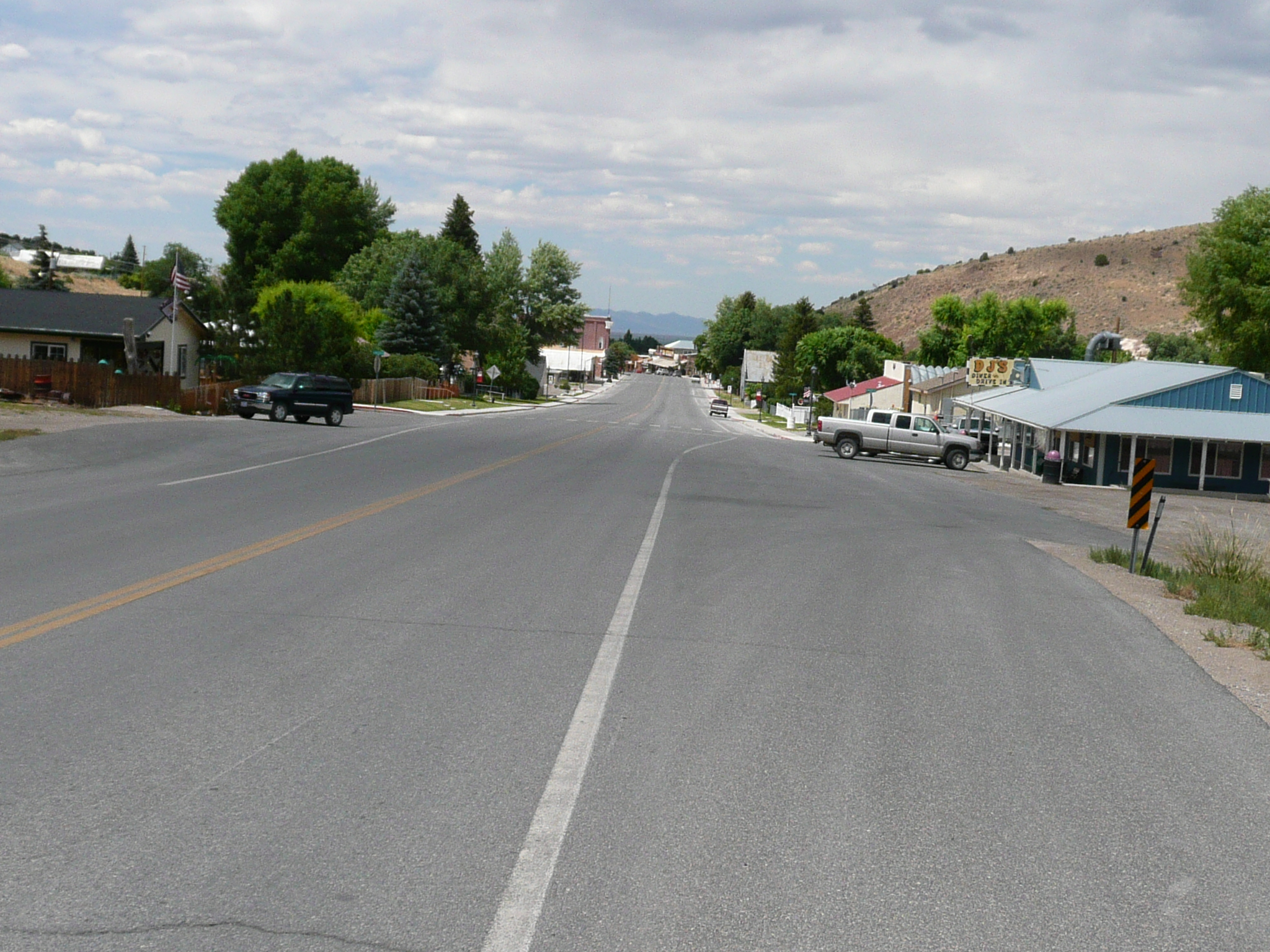
Eureka!
Unfortunately on the other side
of the 7400 foot high Pinto Summit
It is good to get back to Eureka, a very pretty, very friendly, small (500 - 600 people), town, but that was the third hard riding day in a row and my body is feeling beat up. Hopefully, but not likely, my ride to Austin will be easier. Austin has two passes, not just one, right before you get to the town ;-{. At least I'll be expecting those climbs. Somehow, I forgot about having to climb Pinto Summit today.


