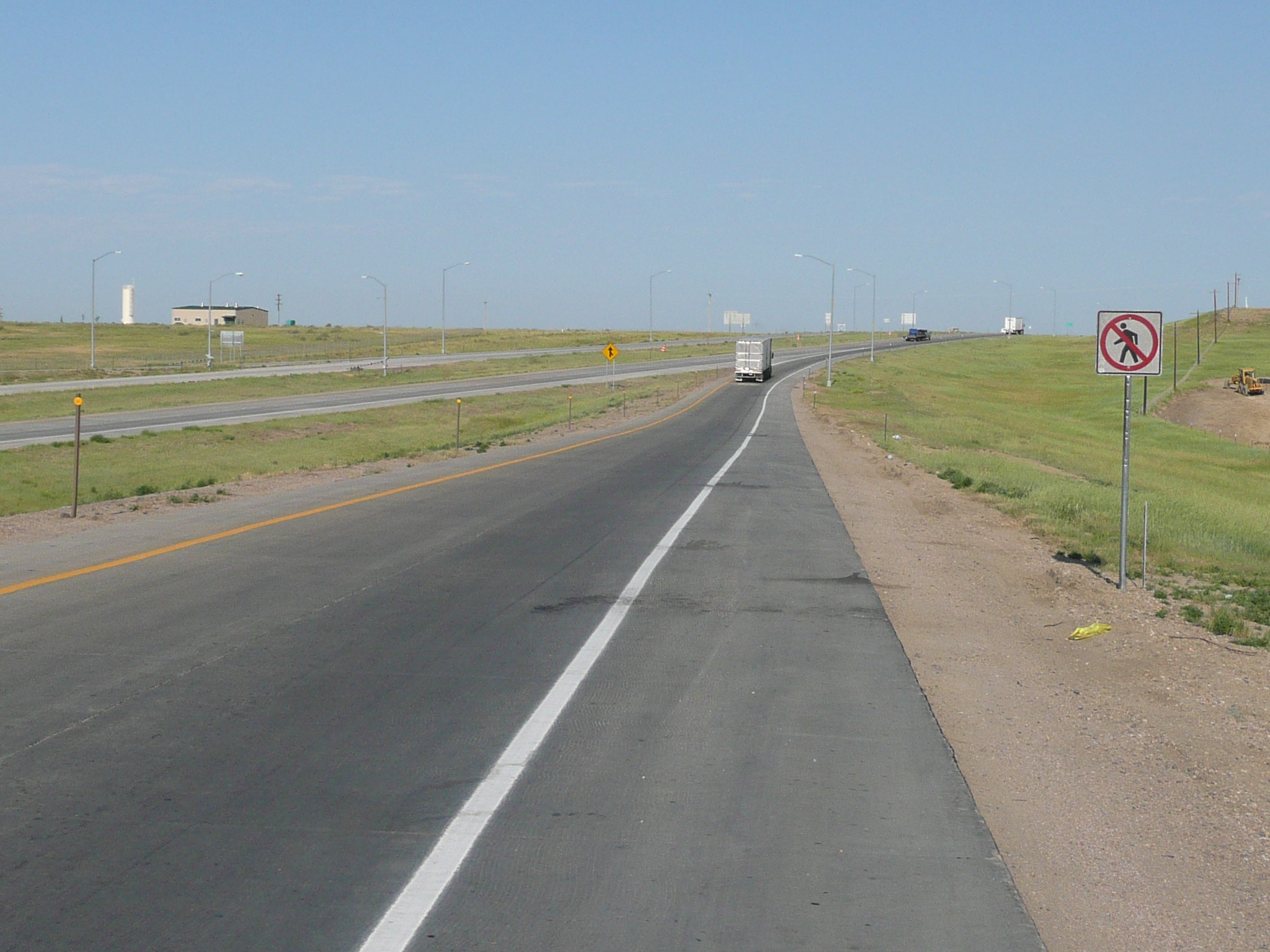
Getting on I-70
Note that only
pedestrians are prohibited from using this section of Interstate
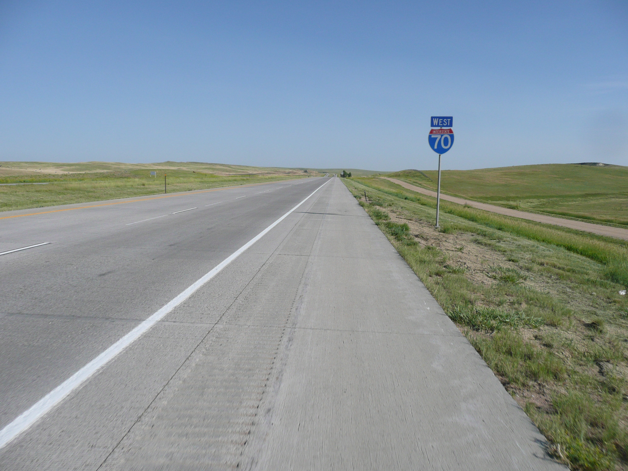
Getting on I-70
Note that only
pedestrians are prohibited from using this section of Interstate
Breakfast, at the motel, was nice pastries. Second breakfast at McDs one mile down the road was a bit much after two large pastries ;-}, but it was 33 miles to the next place I could get any food, so I forced most of it down and carried part of it with me for a snack. Then I headed north east on I-70.
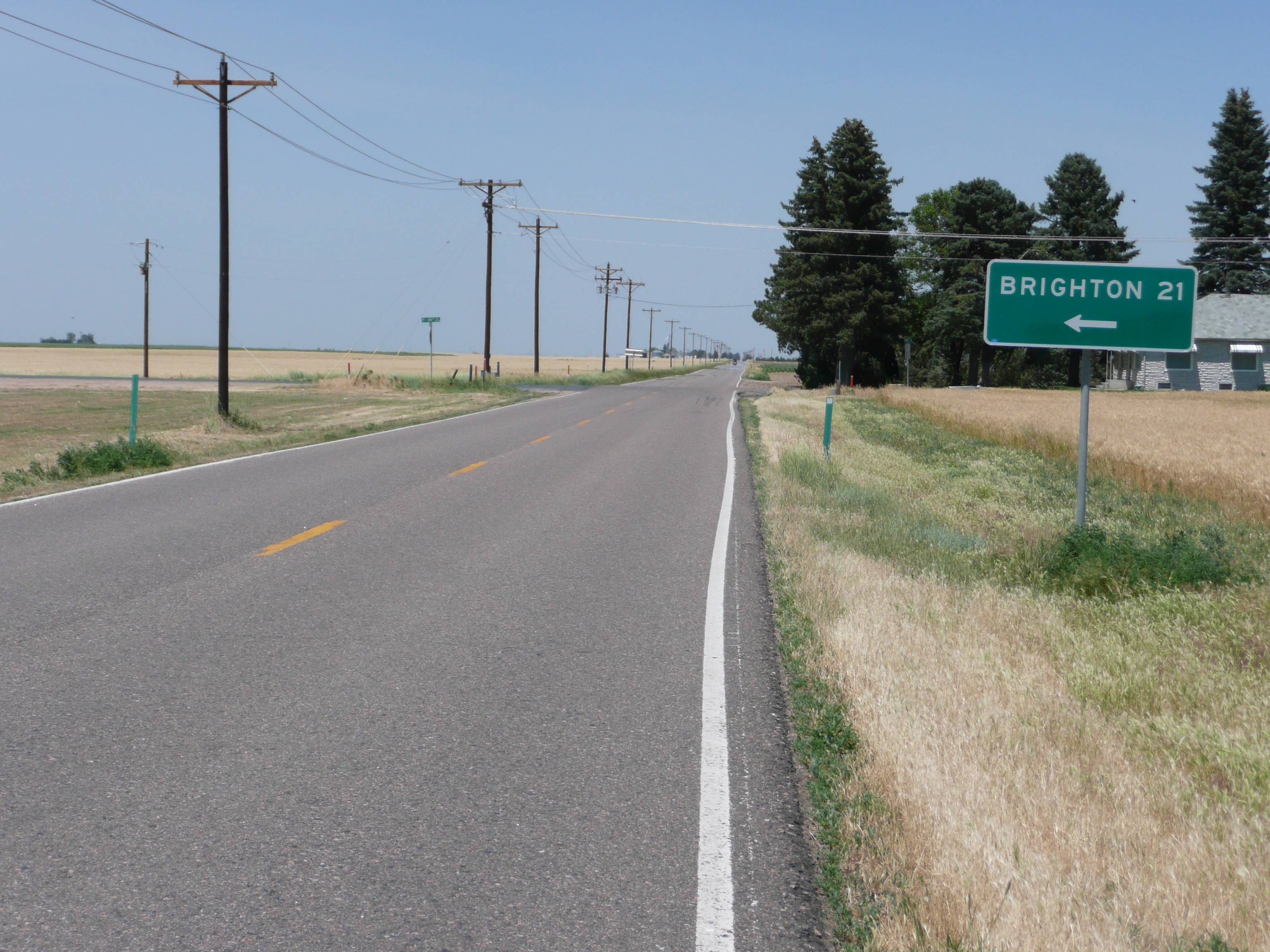
I didn't want to ride I-70, but there was no other way I could make Brighton, where a touring list member was going to pick me up and take me to Louisville. The hard parts of riding I-70 turned out to be getting on it in Limon and riding the last 15 miles to Bennett. The rest - 45 miles of riding - was really very easy and very fast with a 20 mph tail wind and smooth, clean, shoulders.
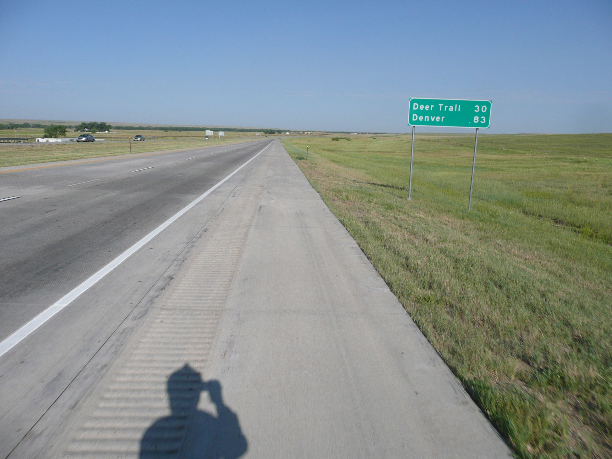
Me and my shadow taking a picture three miles down the road from Limon
I got on about 8 AM and got off, 33 miles later in about an hour and 45 minutes. That was in Deer Trail where there were two service stations - the first services of any kind after Limon. I had a Yohoo drink and finished my breakfast from McDs at one of the stations. While I visited with the guy working there about the wind and the weather, my bike blew over and my camera and GPS hit the pavement. Ouch, but no serious harm was done. I got back on I-70 and headed for Bennett, 22 miles further north-west. Riding was good for the first ten mile, except for my rear pannier coming off on a big bump in the shoulder at the end of a bridge. I need to improvise some way to keep that from happening!
There are sometimes dirt frontage roads, but they never lasted long
Riding was no longer fun when I-70 turned from north-west to west. Now there was a 20 mph cross wind coming across the interstate. In the first two hours I rode I-70, I covered 40+ miles. It took me more than an hour to cover the last 15 miles, but my overall average was still 16.5 mph.
Bennett was the first place, after 55 miles, that had a place to eat and the last place before Brighton, at almost 100 miles. I stopped at the dinner in Bennett and had a good lunch, with overpriced tea and dessert ;-}, and stayed there for an extra half on hour or so to work on web pages. I was well ahead of schedule because of that tail wind, so I took some time in the middle of the day to do stuff I usually do in the evening so I would have more time for visiting.
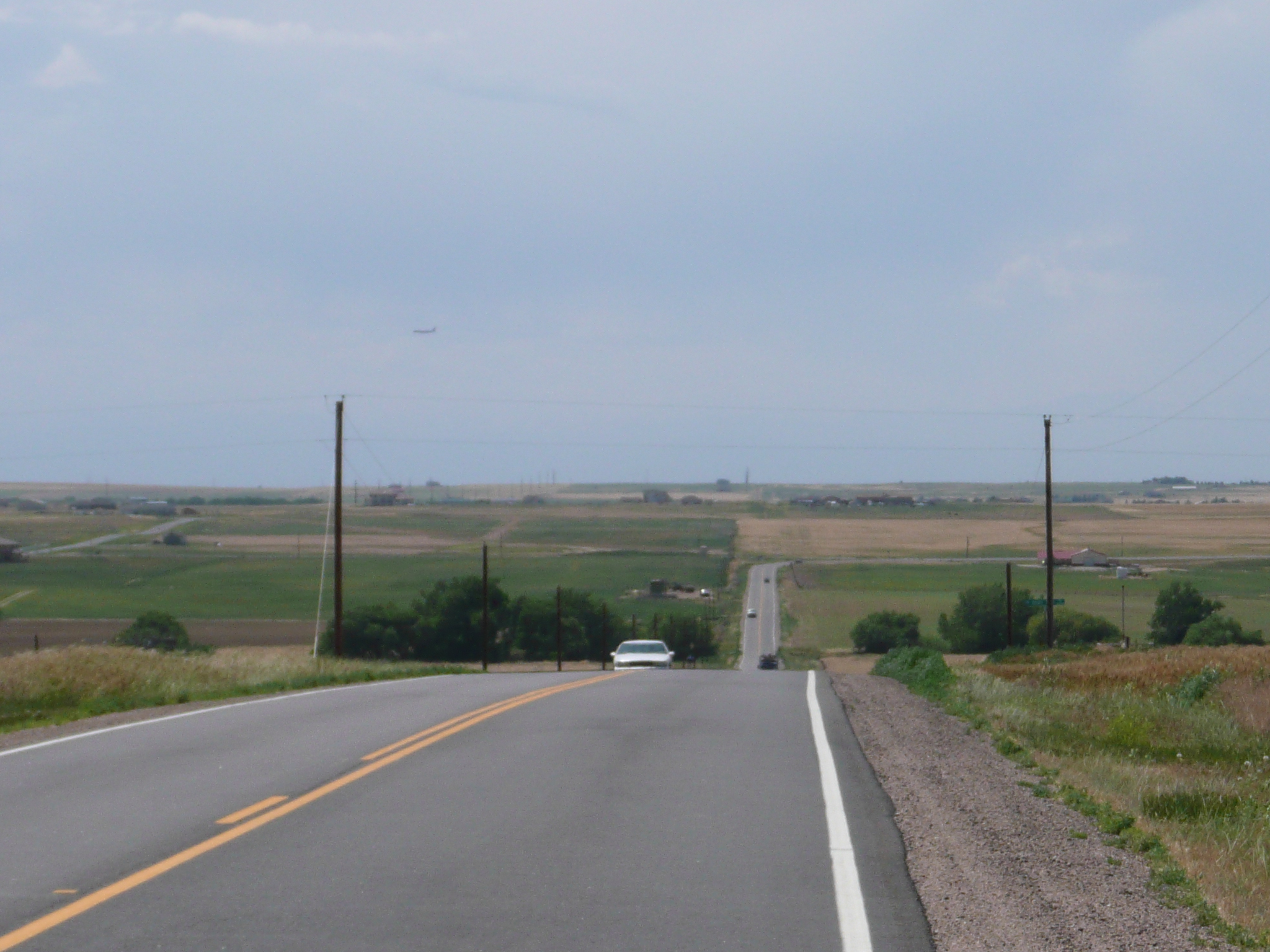
Heading north from Bennett, hoping that E 142 St will be paved
When I asked my GPS to route from Bennett to Brighton, it gave me a route that I though - incorrectly - might come too close to DIA which is between those two towns. I added a via due north of Bennett on E 142nd Street which looked like the best road to use and followed the route the GPS told me, until it said 'Drive 13 miles' on a dirt road with too much sand on it to ride easily. Then I used my head and observed how cars were leaving Bennett headed north. There was a highway to Pleasant Valley that headed north and, checking it on my GPS maps, I found it intersected E 142nd St. Riding it was almost as fast as riding the interstate, so life was good until it occurred to me that E 142nd St might not be paved ;-{.
E 142 St is paved to Brighton
I passed one paved road - E 88th St - going west as I rode north and quite a few dirt roads. I considered trying the paved road, but it ended at another road going north and I could tell if that road was paved. I decided to take my chances with E 142 St because it looked like the road to Brighton and that road should be paved. Thankfully, it was.
Riding was slower going west, but I plenty of time and the cross wind kept me cool. Roughly 2/3rds of the way to Brighton, E 142nd St jogs north and becomes E 152nd St. Traffic picks up at that point and the road E 88th St ends at, comes in, paved, where E 142nd St ends. My GPS also suggested using that road, so it is probably a slight shorter, paved, route. These roads are all east of the airport - I could see planes coming into land at DIA passing well west of the end of E 142nd St.
When I got on 152nd St, traffic was getting annoying. By the time E 152nd St entered Brighton, it was urban riding and that didn't change while I was on the Front Range.
142 St turning north to become E152
St
Note the airplane coming in for a landing at DIA
I still had a couple of hours to kill in Brighton - I really hadn't expected to do a 6 hr century ride today - so I stopped in a Pizza hut and drank ice tea and worked on web pages till my iBook's battery ran out. Since this is a fairly old iBook, that was only a half hour or so. I got back on CO 7 - the highway I was to meet the phred member on, and looked for an internet cafe. Brighton just isn't an internet cafe type of town, but it is a T-Ball type of town, so I stopped at the park and watched, little kids and their parents preparing for a T-Ball game. I also did some work on my bike. About 5:15 PM I rode slowly towards Louisville, and about 5:40 my ride arrived just as I was reaching 100 miles for the day.
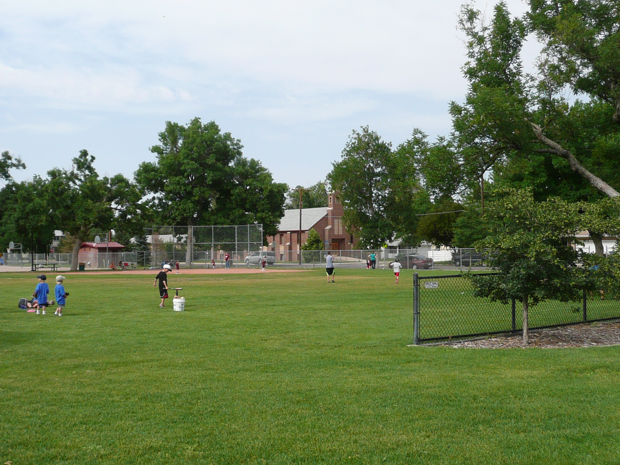
Kids playing T-ball in Malcom park in Brighton


