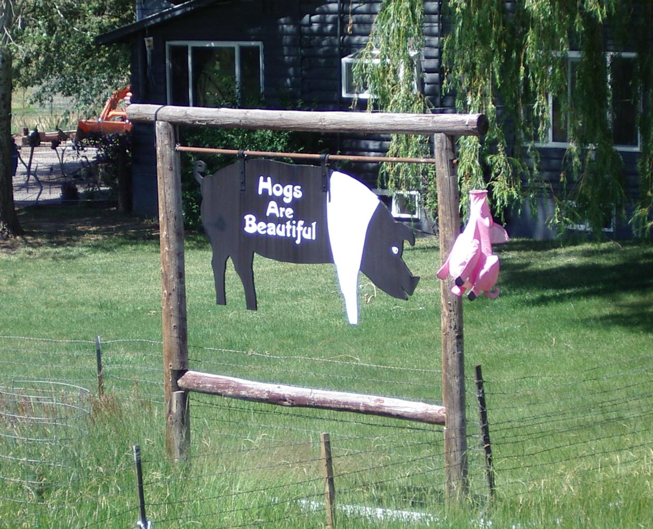
A sign, from a farm on 160, for my daughter Sara who loves pigs and hogs
A sign, from a farm on 160, for my daughter Sara who loves pigs and hogs
The ride from Durango to Pagosa Springs was a good test for my knee, which still hurt a bit when I started this morning, but much less than it hurt before I took a day off from riding. I have a book of rides in Colorado that I picked up in 1998 and which was written about 1990. It was very useful when I spent the summer here in '98, and I scanned the relevant parts of it for my ride across southern Colorado this year. It tells me that it is 60 miles, with 3100 feet of climbing, for todays ride. I agree with those figures.

Climbing into construction just after 550 goes off to the south
The shoulder after the construction
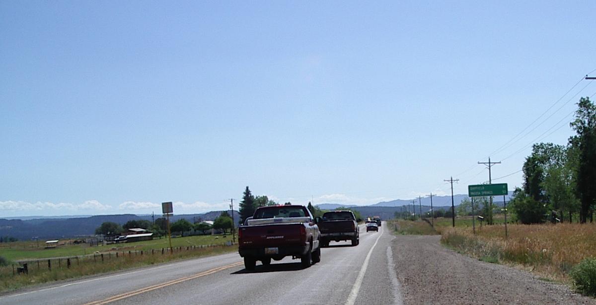
This is as good as 160 gets for the next ten miles
It also says that 8 ft shoulders are present for the first four miles and 3 foot shoulders till 7 miles and after that, 10 ft shoulder to Archuleta county line at 28 miles. This whole section is described as "rolling road through semi arid country."
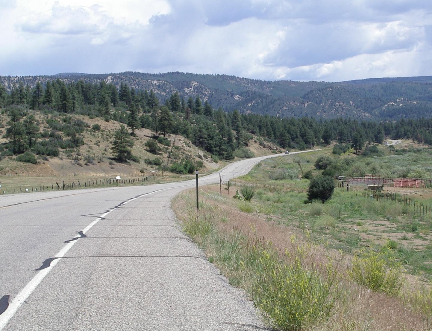
The "rollling hills"
Climb out of a valley
Neither the description of the shoulders nor the description of the hills fit what I rode today! There are good shoulders for about four miles, adequate to non existent shoulders for the next ten miles, and then adequate to good shoulders for the rest of the ride. Adequate means my bags can be outside the white line, good means that my bags are far enough outside the line that I don't have to worry about it and that the shoulders are smooth enough and consistent enough that I am comfortable riding on them. As for rolling hills, I don't consider roads where I have to use my granny gear to crank out of the valleys at 4 to 7 mph for to be rolling <grin>, I'd call that hilly riding. This ride is very hilly - similar to riding from Cortez to Durango, but with no net altitude gain or loss - from Durango to Bayfeild, then it isn't as hilly, but it is definitely uphill, till two miles past the Archuleta county line. In that section you climb from 6500 feet to 8000 feet.
This "downhill" section is actually uphill
The start of the real downhill into the Piedra Valley
Then there is a great downhill to the Piedra River at 6500 feet. After that there are some minor climbs, but the riding is mostly around 7000 feet until 160 climbs out of that valley less than ten miles from Pagosa Springs. Then the road climbs to about 7500 feet and stays there till it descends into Pagosa Springs at about 7100 feet. The riding, after Bayfield, is nice.
I stopped for a snack at Bayfield and lunch at Chimney Rock. Those are, respectively, about 20 miles and 40 miles from Durango. I expected some services at Bayfield - and there were three 'interstate like' service stations there. I stopped at the first one, but should have stopped at the second one which has an A+W. Oh well, the greasy hotdog and 20 oz mix of coffee and hot chocolate, along with half a payday like candy bar and the last of some trail mix I bought in Kanab, Utah made an adequate snack.
Since I didn't know that there was a restaurant at Chimney Rock, I stopped a mile or two before it on a National Forest Access road - much of this route is in the San Juan National Forest - and snacked from my supplies. Then I discovered the restaurant and had a burger and fries along with several cups of coffee. When the, very nice, lady who runs/owns the restaurant and campground, asked if I wanted some of her homemade pie for dessert, I had to confess that I had my dessert before I knew about the restaurant. A sign in the best restaurant in Austin, NV: "Life is short, have dessert first!" In this case I would have been better off having had dessert last...
Chimney Roack in the Piedra Valley
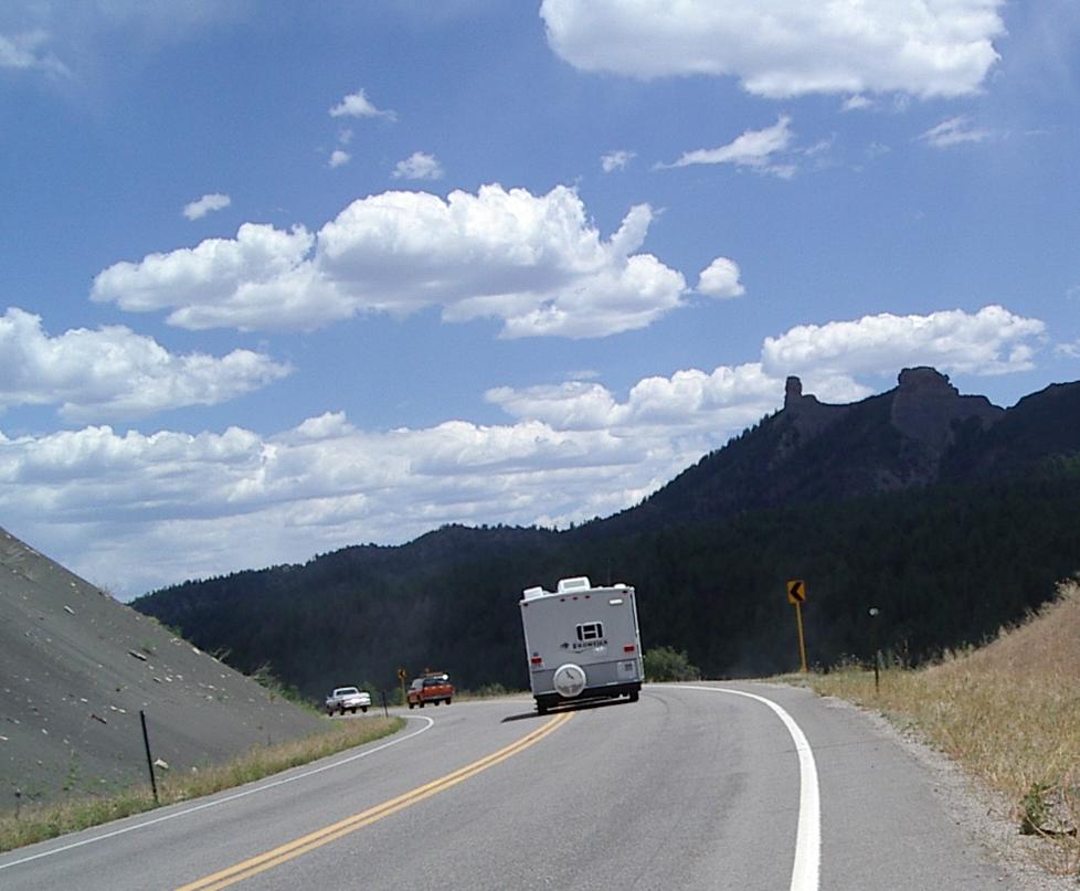
Climbing out of the Piedra Valley
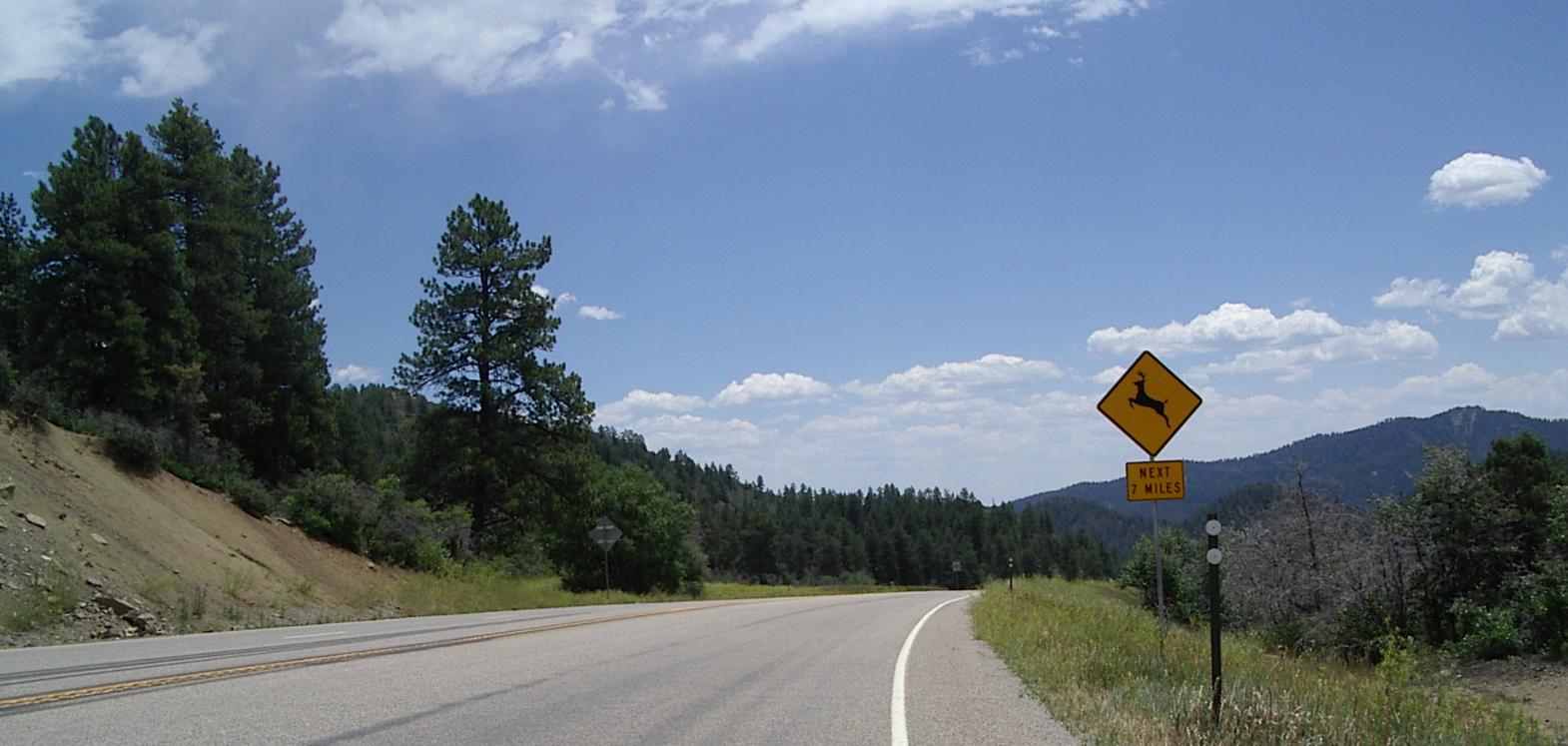
That orange block in the image is a sign warning
about construction delays on Wolf Creek Pass
The eastern end of the Piedra Valley, like the eastern end of the plateau between it and Pagosa Springs is over commercialized. In the valley, it is pretty tacky stuff, on the plateau, it is "Pagosa," which is an extensive, upscale, strip. Lots of services, including a fancy golf course and lots of condos, etc. Lots of motels and restaurants too.
Fortunately my book of Colorado rides talks about descending into Pagosa Springs, so I knew Pagaso wasn't Pagosa Springs. By riding on, and down 400 feet or so, I found Pagosa Springs. It is very different from what was here in the 80s - when it had a population of about 1000 people - but I like it much better than Pagosa or Durango. It is very upscale, but, unlike Durango, also very laid back. In Durango it was a real challenge to cross the main street without getting run over and bicycling there is more dangerous than in Asheville. Here it is peaceful and relaxed.

Coming into Pagosa Springs. A little blurred because I was doing 30 mph
I'm staying at the other end of town which is less built up
I stopped a local motel without air conditioning. I figured I wouldn't need it at 7100 feet in the Rockies. I didn't count on the noise level created by some of my neighbors, so the need for open windows may be a problem. On the other hand, I had an excellent supper at the, upscale but laid back, Italian restaurant next door, and I'm looking forward to breakfast at the Victorian Pastry and and Antiques place two blocks away. I walked those blocks, to check on when I could get breakfast, and saw a lot of interesting shops. A fun place!