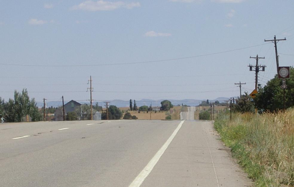
US 666 - now renamed US 491 ( I wonder why!) - heading south from Pleasant View, CO
after a seemingly endless series of valleys between Dove Creek and Pleasant View,
I personally didn't find this to be a pleasant view <grin>
US 666 - now renamed US 491 ( I wonder why!) - heading south from Pleasant View, CO
after a seemingly endless series of valleys between Dove Creek and Pleasant View,
I personally didn't find this to be a pleasant view <grin>
I rode from Blanding, Utah to Cortez, Colorado today. I had originally planned to ride to Delores, Colorado, but changed my mind about my routing while in Blanding. Instead of going up the Delores River Valley to Telluride and then to Durango via The Million Dollar Highway, I decided I should go to Durango - an easy ride - tomorrow, and ride The Million Dollar Highway unloaded the next day. Riding it out and back unloaded will be more enjoyable than touring it loaded.
Moreover, having camped with my wife in Telluride before it was developed, I really don't want to go there now. When I was last there it had 50 full time residents and 250 summertime residents and it cost $3 per night to camp in the city park. It was one of the most beautiful places I've ever been. I know part of that beauty has been lost in 'development,' so I'd rather keep the memories and avoid the present reality.
This is the 27th riding day of my tour04. On the 27th riding day of my tour2000, I rode from Cortez to Blanding! How's that for symmetry? I considered doing little on this web page other than giving that reference and saying "go read that page!" Instead I'll do a reduced web page that, I hope, will complement the one I did four years ago.
Note the distance and the uphill road as I leave Blanding
A little while later, climbing the first real hill

Seven miles later, looking back after 1000 feet of climbing
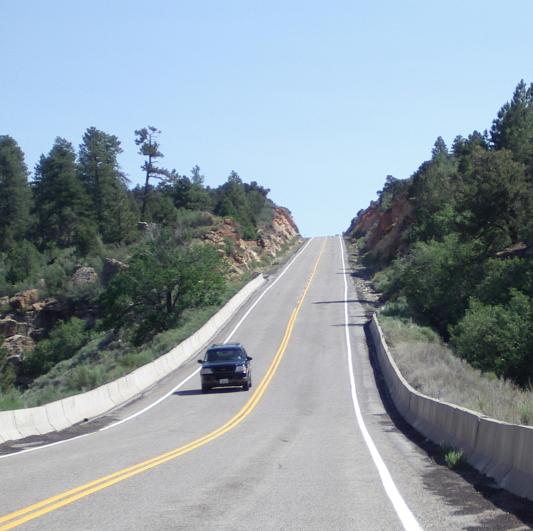
Ten miles north of Blanding, looking up the 9% grade that ends the steep climbing
I remember the great downhill that started with a 9% grade - I hit 45 mph on my loaded bike - when I first entered Canyon Lands on my way to Blanding. Now I got to experience it in reverse and to 'enjoy' it for a much longer time! Leaving Blanding, headed north, means a hundred foot or so of climbing followed by a nice descent to Recapture Dam. There is a pretty lake above the dam and a big hill just after it. That hill starts with a 7% ish climb, then gets easier, then gets harder, etc, for about eight miles of continuous climbing. Then the passing lane ends, and the hills, although shorter, get steeper. The final steep hill is a hundred feet vertical at a steady 9% grade. Then there is some more gentle climbing before a series of smaller descents and climbs. I 'enjoyed' the first climb for an hour and a half. Actually, I really did enjoy it. I could, however, have done without the series of descents and climbs that followed it!
When I reached Monticello, it was hillier than I remembered, I think that was because I had to climb into this time! My memory seems to edit out the non spectacular descents. I stopped for a snack, then headed east on US 666 (old) which is now US 491 (new). I really liked that road designation, but I guess the Mormons, who also have studied Revelations, didn't. Perhaps, since Theocracy is in with our current federal government, it was now possible to get the Feds to change a road number for religious reasons...
On 666 - I like the old number! - my ride to Colorado was easier than the ride in the opposite direction four years ago. Winds do tend to be out of the west here, so I had a head wind in 200 and a side/tail wind in 2004. This is not an exciting ride and the road is bumpy with a small shoulder.

When I got to Colorado, 16 miles later, the road, as I remembered, improved greatly. Now it was smooth with a great shoulder. It pretty much stayed that was all the way to Cortez. Utah doesn't come off well coming into the state from Nevada, Arizona, or Colorado. In all three cases there is a big drop in road quality as you enter Utah. Curiously, unlike Pennsylvania - the state whose roads I love to hate - the roads inside Utah are generally better than the roads at the border.
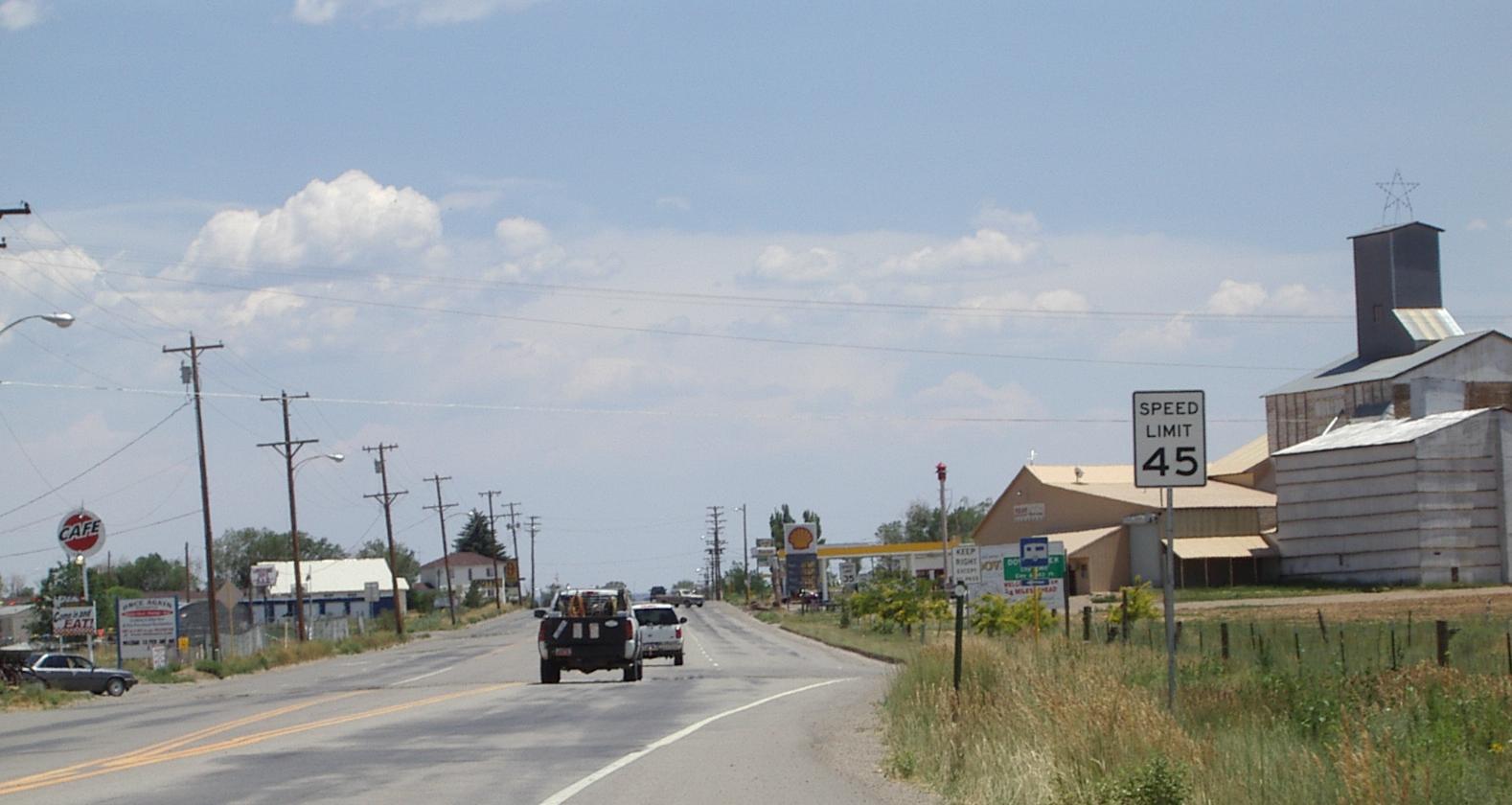
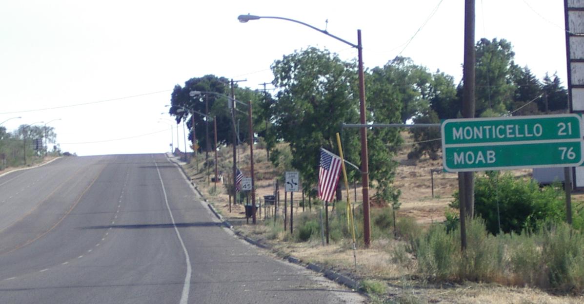
Entering Dove Creek, "Pinto Bean Capital of the World"
The ride to Dove Creek - six miles from the border and the only place with services between Cortez and the border - was uneventful. I was looking forward to lunch in Dove Creek, but ended up quite disappointed with what I had. I ate at the deli associated with the grocery store, but I should have eaten at the 'Lunch Box' (I think that was what it was called), which is the only other choice. The meal at the deli was the worst of this tour.
I saw too many of these
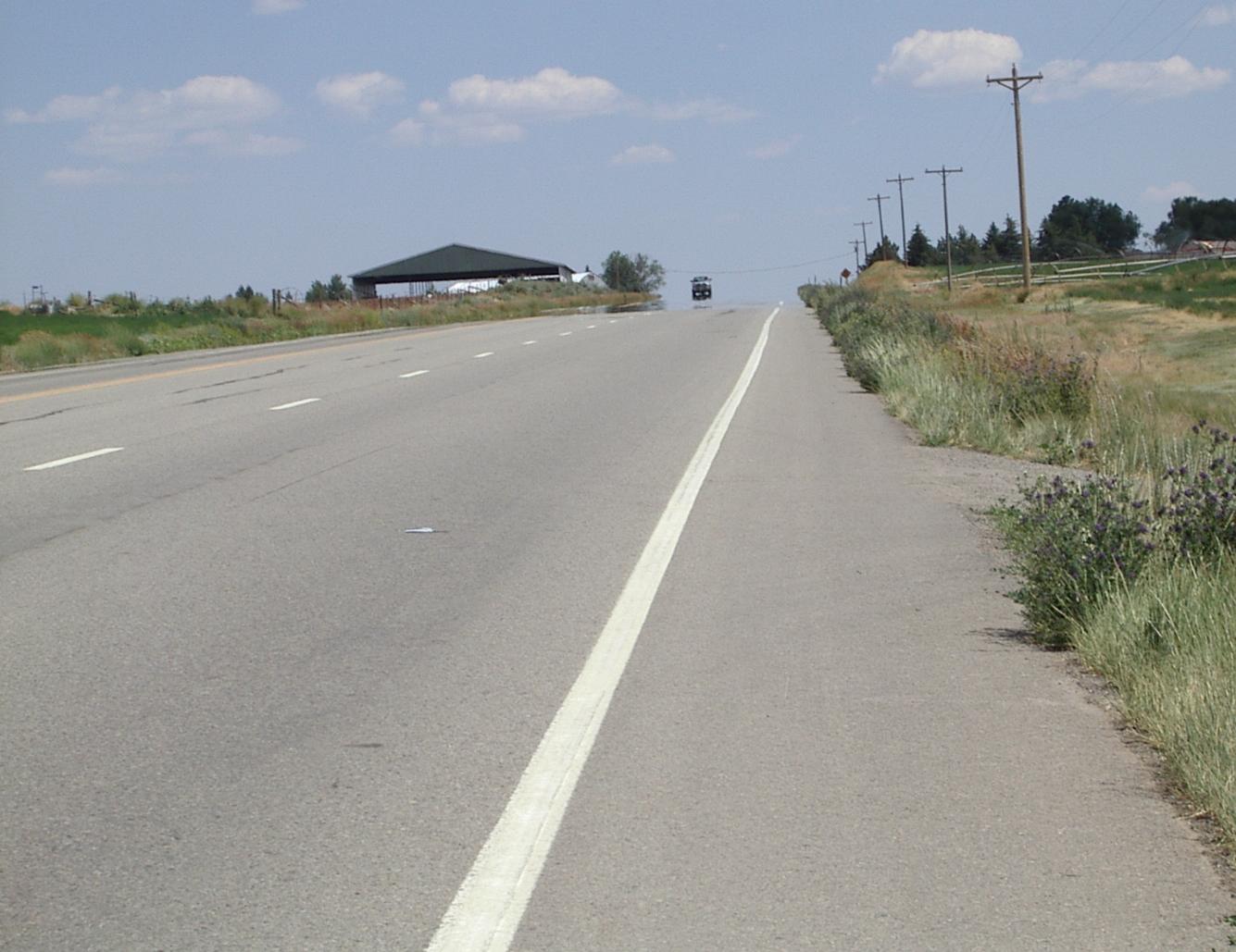
And climbed too many of these
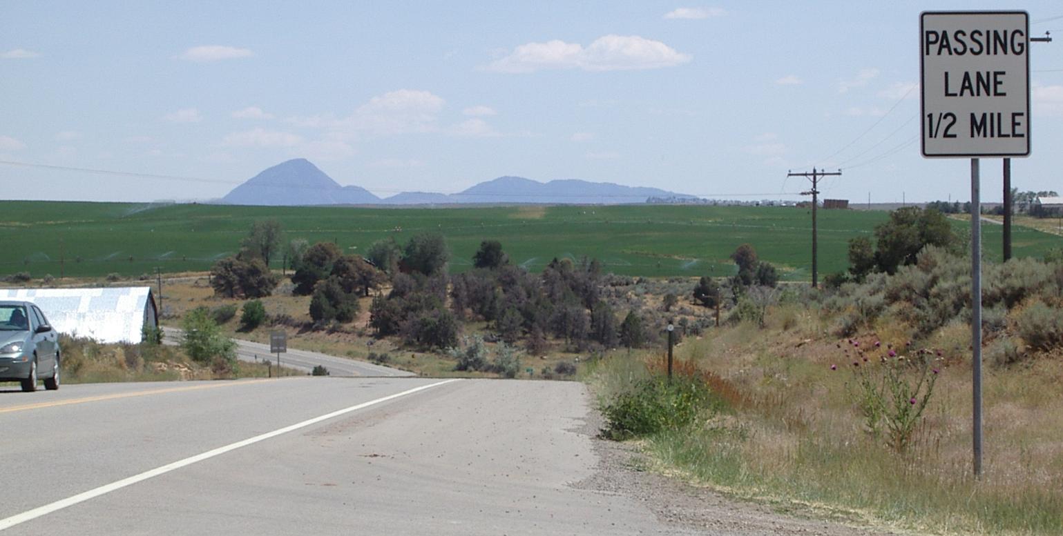
After Dove Creek, the creeks and associated valleys got to be a pain. It seemed like every time I climbed out of a valley, I, almost immediately, descended into the next one. This went on till a few miles (and valleys) past Pleasant View where I stopped to rest and snack. It reminded me of the northern end of the Blue Ridge Parkway where, as a friend pointed out to me, you climb the same 200 feet over and over again. On 666 it is more like the same 100 feet, and the climbs are, usually, gentler, but the effect is the same: A lot of pointless climbing.
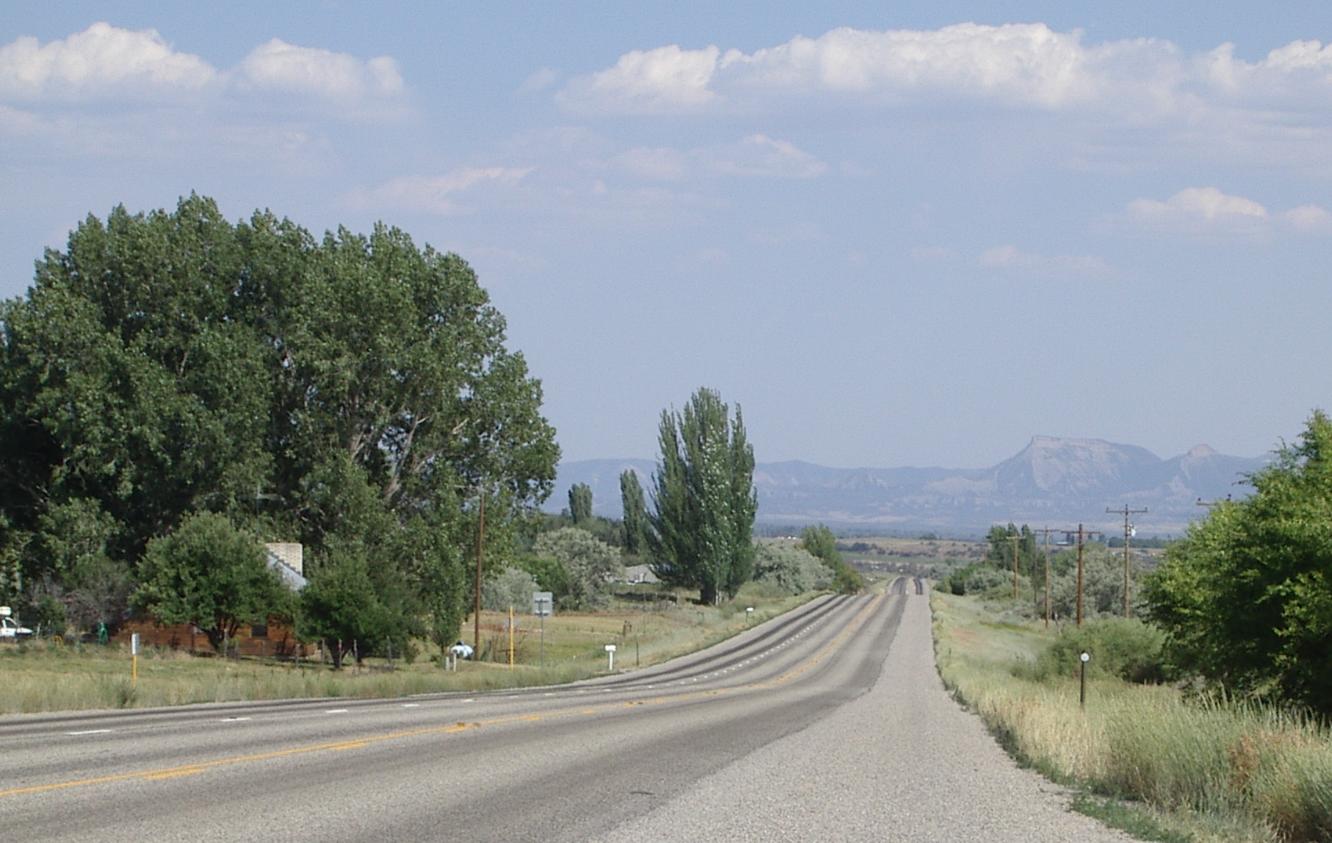
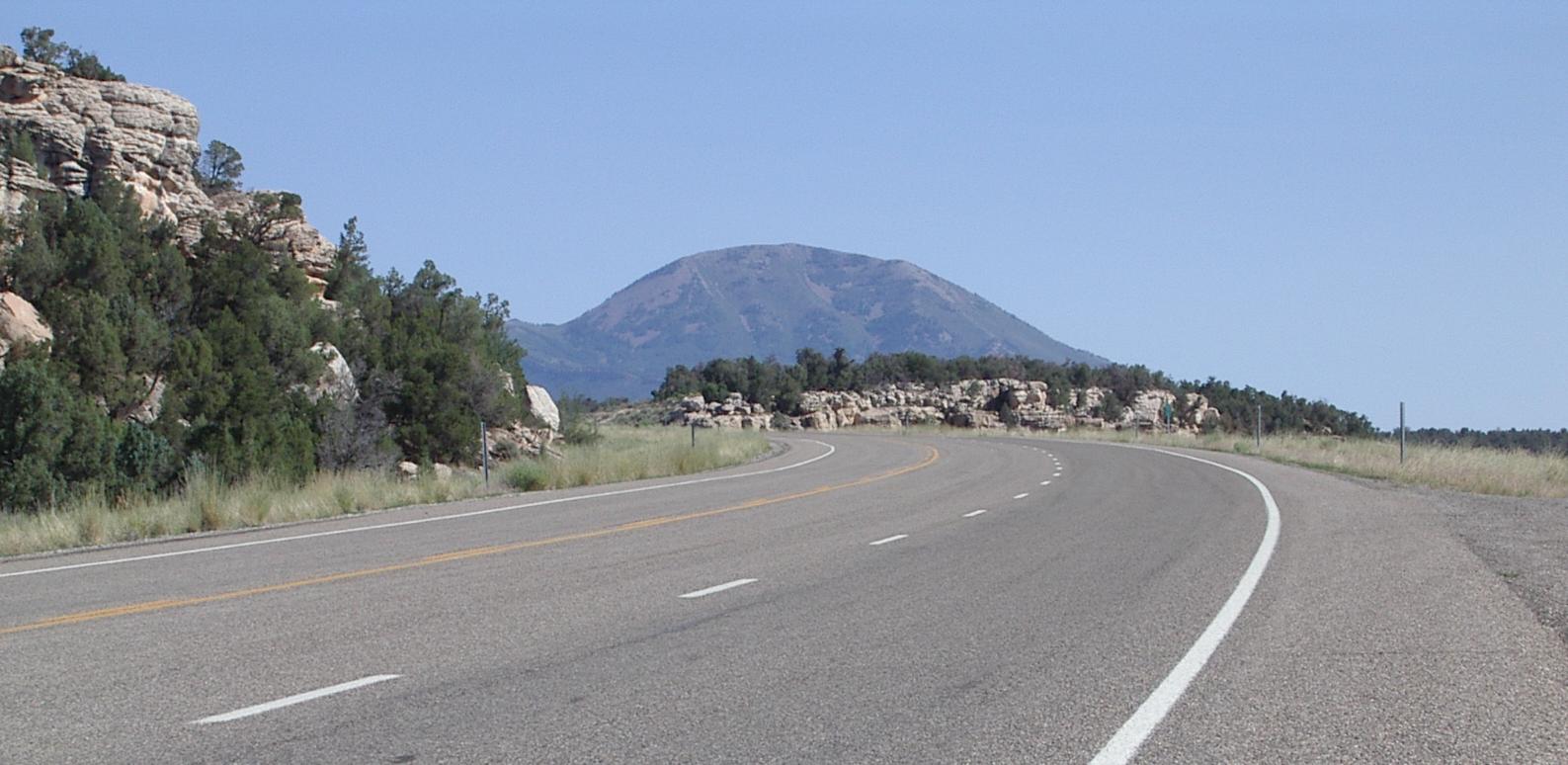
The view gets better and better as you ride south
This is Mesa Verde from about ten miles north of Cortez
Finally, with a dozen miles to go to Cortez, the valleys dwindled and riding was better. Then, shortly after the road to Delores, a long downhill into Cortez begins. My 2000 report says I climbed from 6200 feet to 7000 feet in that stretch. It was more fun to do it as a descent!