
Heading north from Kayenta
Heading north from Kayenta
This was another nice, but a bit too long, day. Unlike yesterday which ended with a long downhill, this ride ends with about 2000 ft of climbing in the last 25 miles. Climbing was hard because of the heat in the lower parts of the route where most of the mid-day climbing was done. Climbing at 4400 feet is much hotter than climbing at 6400 feet.
One of the important things out here in the summer is to stay as high as possible. Yesterdays 100 mile ride was hard because the first half of it was so hilly, but would have been much harder had that climbing been at 4500 feet instead of 6500 feet. Leaving Page early in the morning meant that the climbing I had to do to get up to where it was cooler was done while the temperature was low. By the time the temperature in Page was uncomfortable, I was 2,000 feet higher and the temperature was about 15 degrees lower than in Page.
On this ride, there is much less climbing (still well over 4000 ft), but it there are four main climbs, that each start from about 4500 feet. The last one climbs over 1500 feet (from Bluff to Banding), the next biggest one climbs 1000 feet (climbing out of the San Juan River valley) and there are two climbs of about 500 feet. The 1000 foot climb from Mexican Hat out of the San Juan River Valley was the hottest. The 1500 foot climb to Blanding was the hardest because it was at the end of the day and I wasn't expecting it. I should have known it was coming because my routing software, Route 66, has an altitude database that seem to be good. It clearly shows that last climb, but I wasn't looking for it.
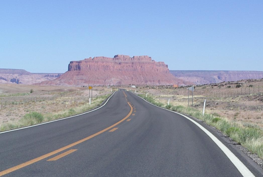
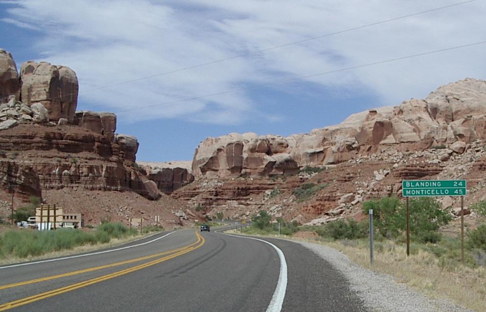
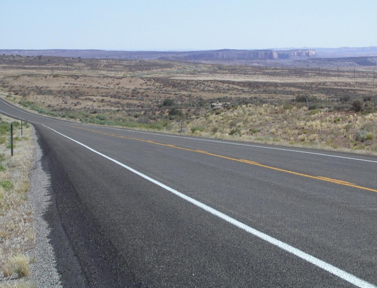
The riding, and the view, was great from Kayenta to the Utah border
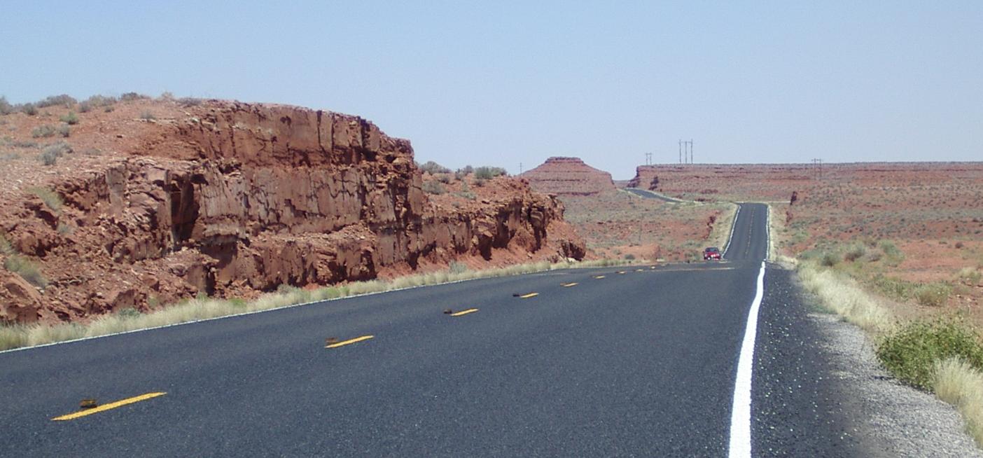
The road went from wonderful to lousy at the Utah border
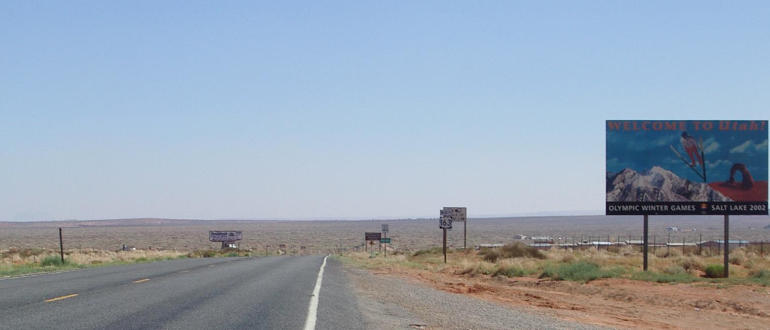
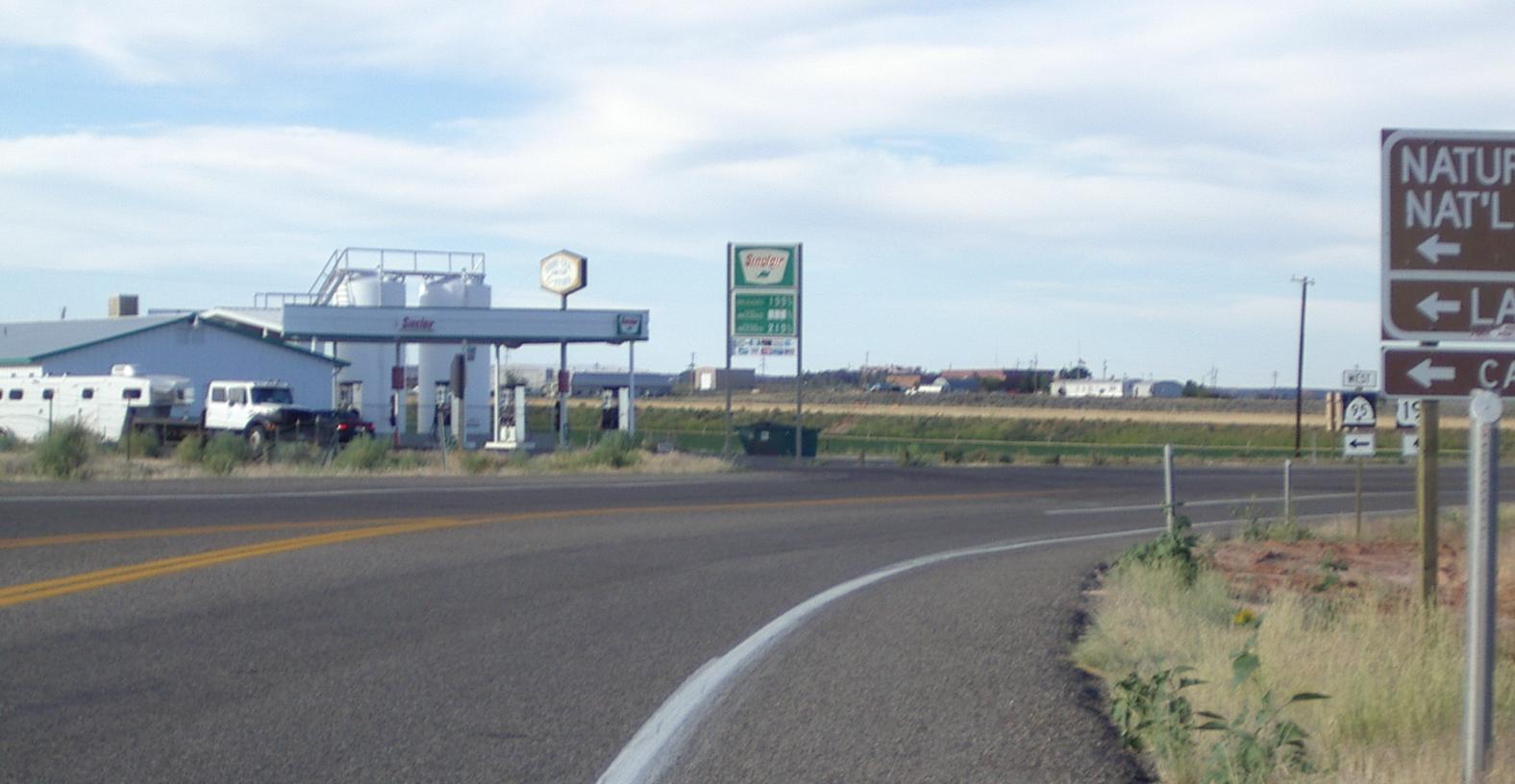
This sign is where I took my first break
The first 20 miles of this ride were great. The road was so smooth I could take telephoto images while riding! There was about a 400 foot downhill in 20 miles and I was able to average 15.4 mph! Nice!!
In Utah, the road was so bumpy that it sometimes activated my suspension seatpost. That is really bumpy! I couldn't take any picture while riding. and it climbed about 500 feet in the next 7 miles. The combination of bad road and the hill into the 'valley' meant that my average speed was about half what it had been for the previous 20 miles.
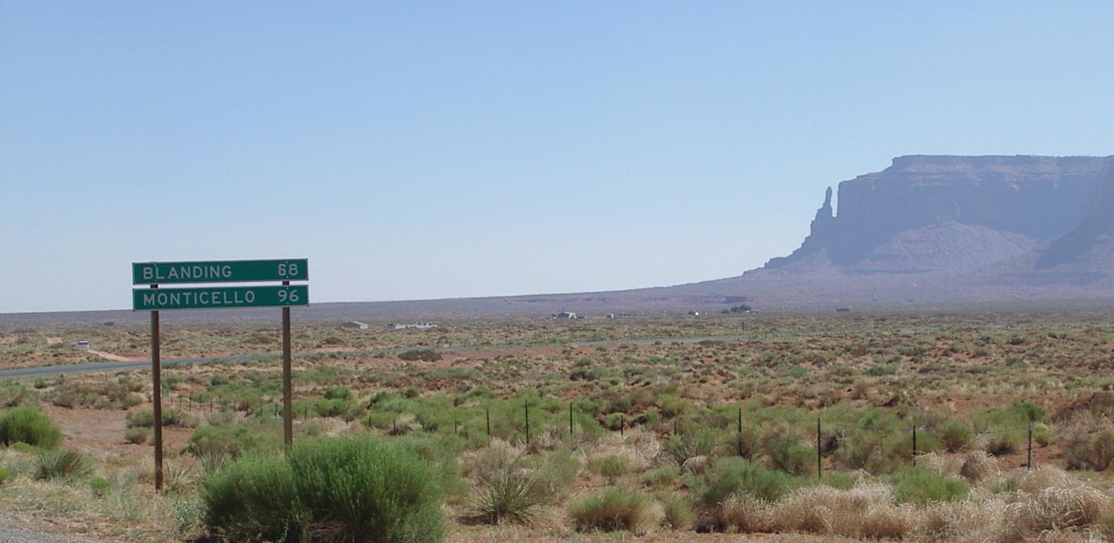
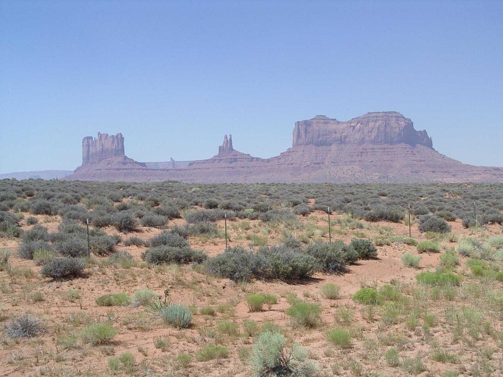
Monument Valley was smoggy, or at least hazy and the haze on the horizon was brown! The rocks are very impressive - I could still see them from a hill 15 miles south of Blanding which is 50 miles away in a straight line. I just couldn't see them very clearly even when I was less than a mile away.

Monument valley from the nice road in Arizona
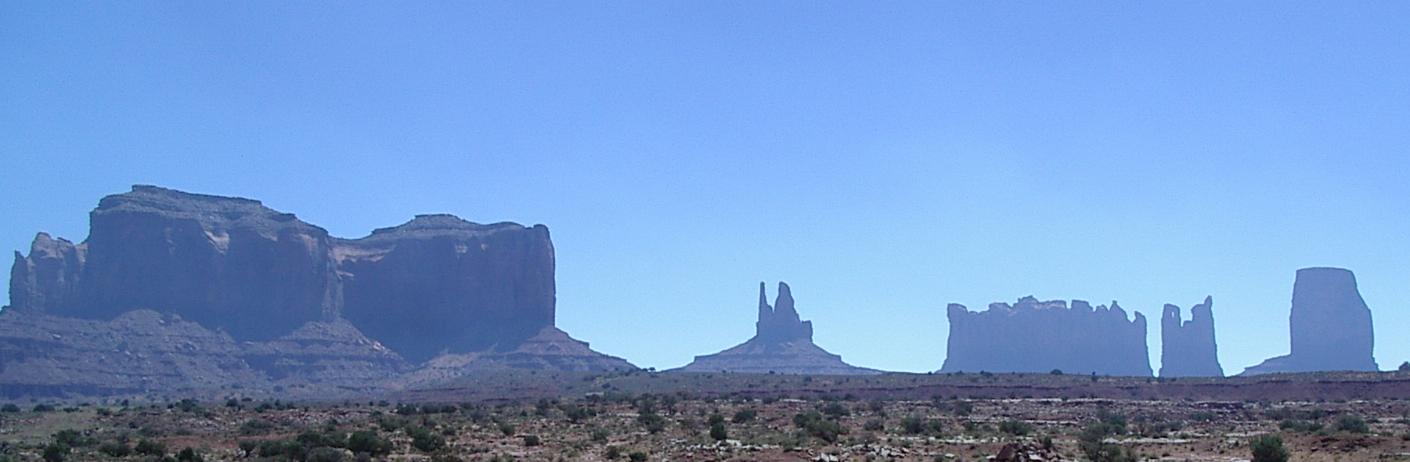
Monunent valley rocks from the southwest
Monument Valley rocks from the northeast
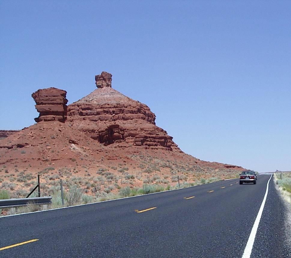
After climbing through Monument Valley (!) the road is level for a while - not long - and then decends into and climbs out of several moderately deep valleys (200 ft?) in the next ten miles. Then you see warning signs about the steep descent into the San Juan River valley. It really is only steep in a few parts, but it is a long series of descents that end at the river. Mexican Hat, which is named for a rock formation nearby, isn't much, but it does have motels and restaurants. I stopped for lunch.
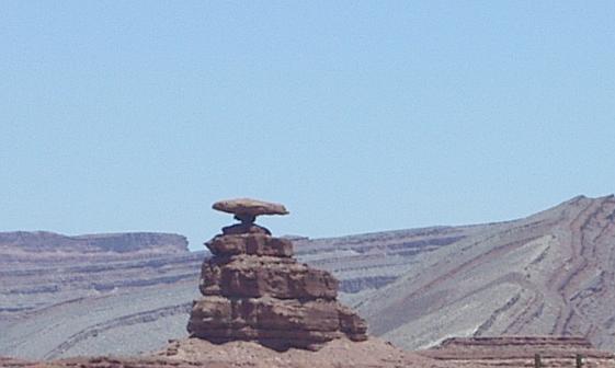
Mexican Hat Rock
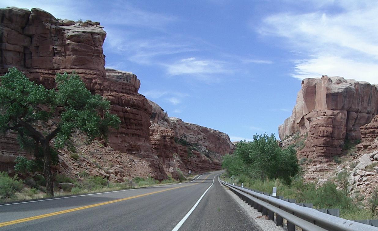
Climbing out of the San Juan River Valley
Neat Rocks along the road climbing out of the river valley
I spent the next hour or two slowly climbing out of the river valley. There a a lot of pretty rocks there, but not much else. The climb is from 4200 feet up to 5200 feet. Then there is a great, but short. flat section. It was wonderful get out of my granny ring for a few miles, but then something big looms ahead and I remember that I have to cross Comb Wash.
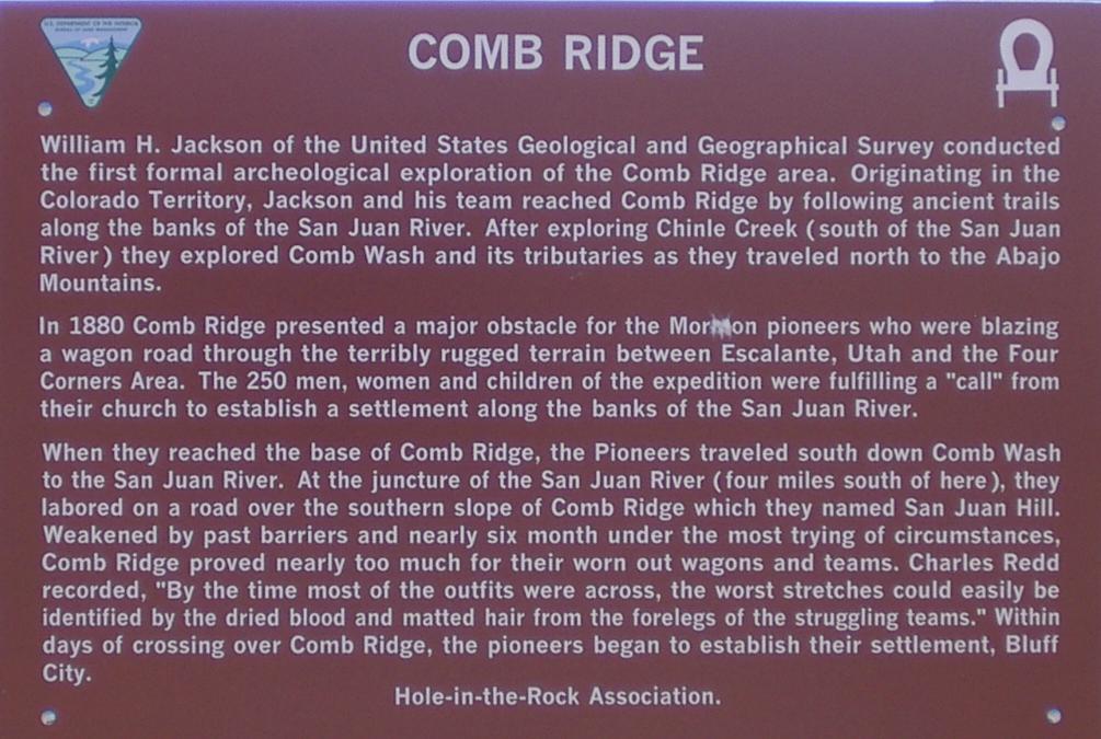
A little history about Comb Ridge

Climbing out of Comb Wash
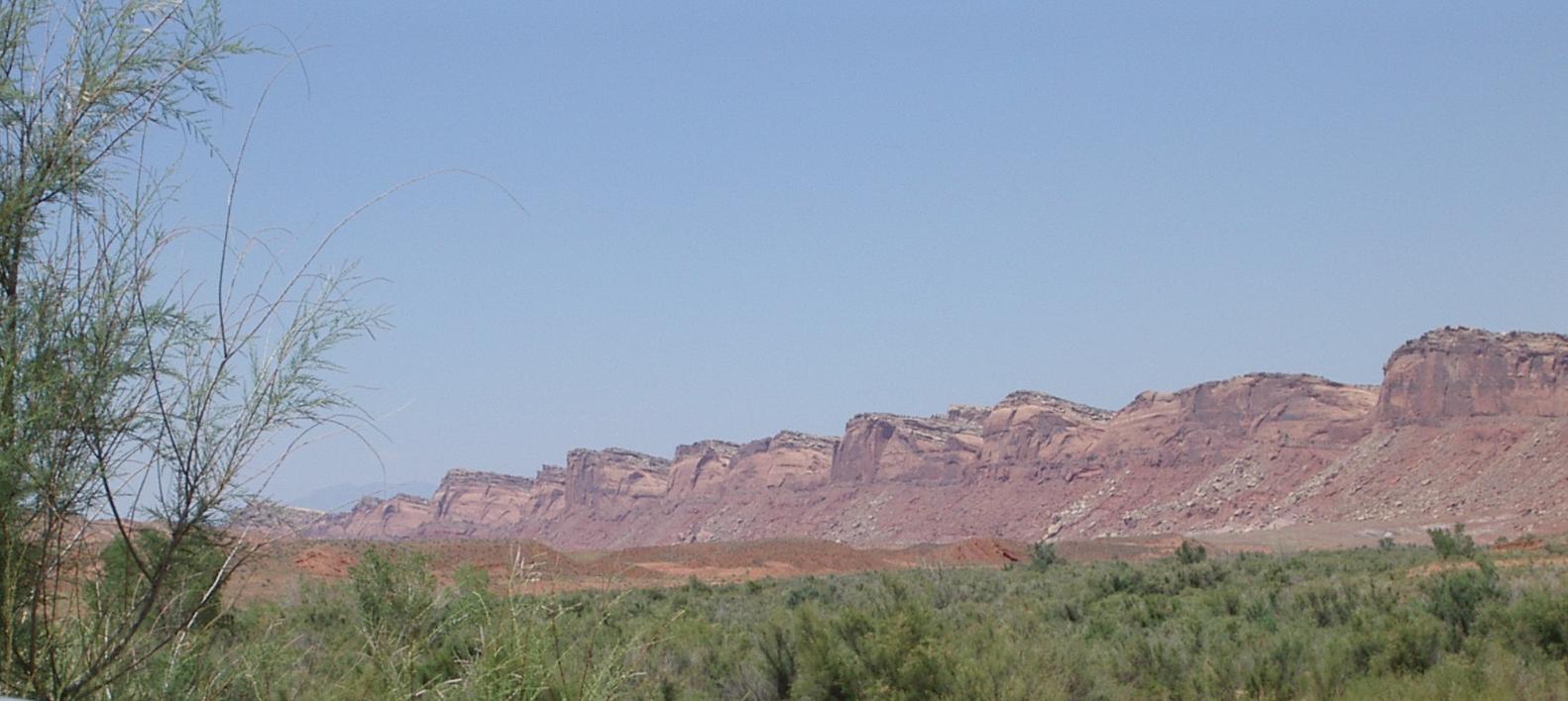
Looking up Comb Ridge from Comb Wash
I don't know why I didn't think about having to cross Comb Wash today. I remember it very well from my ride on UT 95 four years ago. That climb, going west over a ridge, is much harder than this climb, going east. The downhill into the wash is long and spectacular, and the uphill is much steeper, but also much shorter. When you get the top, you discover that the road goes back down into another wash and then climbs, very steeply out again. I estimated this as 500 feet of climbing, but the combination of the two climbs is probably more than that.
When you get over the second ridge, Bluff is in sight. it is a pretty green area down in a valley about six miles away. A welcome sight after all the brown. UT 191, the road that goes through Blanding, joins 163, the road from Kayenta, at this point and it is a nice ride down into Bluff. Shoulders, which have been absent all day, start in Comb Wash and continue to Blanding, making riding a little easier, and the quality of the road comes up, almost, to Arizona standards <grin>!
Bluff is a nice tourist town with several nice places to stay and eat. I stop at a cafe which has a 'Back in five minutes" sign on the door. There is a Harley rider from Simi Valley California sitting at a picnic table in the shade, so I join him. More than five minutes go by, so I decide to buy a coke out of a old coke machine rather than wait for the cafe to reopen. I'm 15 cents short of the change I need, so the Harley rider gives me fifteen cents, I get a coke, and we sit and talk for half an hour. Very pleasant!
Leaving Bluff heading north means climbing out through the bluffs
This is very pretty, but a hard climb
Looking back towards Bluff from seven miles away
since it is below the bluffs, you can't see it
I stopped again only about seven miles later - I was beginning to get the idea that I was in for a hard ride to Blanding - and really enjoyed just being out there. Lokking south I could see no sign of Bluff, looking west I could see comb ridge and looking southwest I could see Monument valley sticking up over Comb Ridge. Nice.
Then I cranked on down (or really mostly up) the road. I had a good tail wind that helped me and kept me cool, but I was tired from a lot of climbing and this long hill was wearing me out. Then I came to White Mesa - a Ute reservation.

Stopping to rest, half way up to the top of White Mesa
Finally, I'm back where I have been before at the intersection of UT161 and 95
White Mesa starts about 15 miles south of Blanding. The climb up is comparable to the climb out of Comb Wash. Once you get to the top things are flat for a while, but then the road climbs again all the way to and through Blanding, gaining roughly another 600 feet. No wonder I was very tired when I got here!
I stopped for a final energy boost - coffee and a pastry - at a Ute service station about 12 miles from Blanding. While I was there, I talked with a local fellow about the riding to Blanding. He said, as any car driver would, it isn't hilly, it just has a little bit of up and down. Oh my aching up and down...
While I was stopped at that station, a van pulled in and a woman got out leaving a man to fill the van with gas. I was sitting just as I had been sitting at Black Mesa, croslegged on the concrete, when this same van had pulled in for gas there. Last night I noted that these folks spoke Polish but we didn't talk. Tonight she, recognizing me, smiled and we talked. They - a family with a boy about 11 or 12 - live in Warsaw. They are vacationing in the western US, driving a car that they borrowed from Polish friends, who now live in California. It was fun to talk wth her about Poland.
I have heard lots of foreign languages on this tour. It seems that the US southwest is a popular destination for European tourists. It certainly is very different from anything I know of in Europe, and very beautiful.