Bryce Canyon
Bryce Canyon
I camped in Panguitch for two nights. On the day between them, I rode, unloaded, to Bryce Canyon which is about 23 miles from Panguitch. It is also about 1500 feet higher and riding in the park requires a lot of climbing, so it was a good idea to do it without my bags. The next day I again rode south from Panguitch on US 89, but this time I rode past UT 12, the road to Bryce, which is six miles south of Panguitch, and continued on some 60 miles to Kanab. I had planned to stop at or before Mt Carmel Junction - where UT 9, the road that goes through Zion Park, starts, but because of weather, lack of service, and concern about the tunnel on UT 9, elected to skip Zion and continue on the Kanab. Tomorrow I'll ride towards the North Rim of the Grand Canyon.
Heading south from Panguitch on US 89
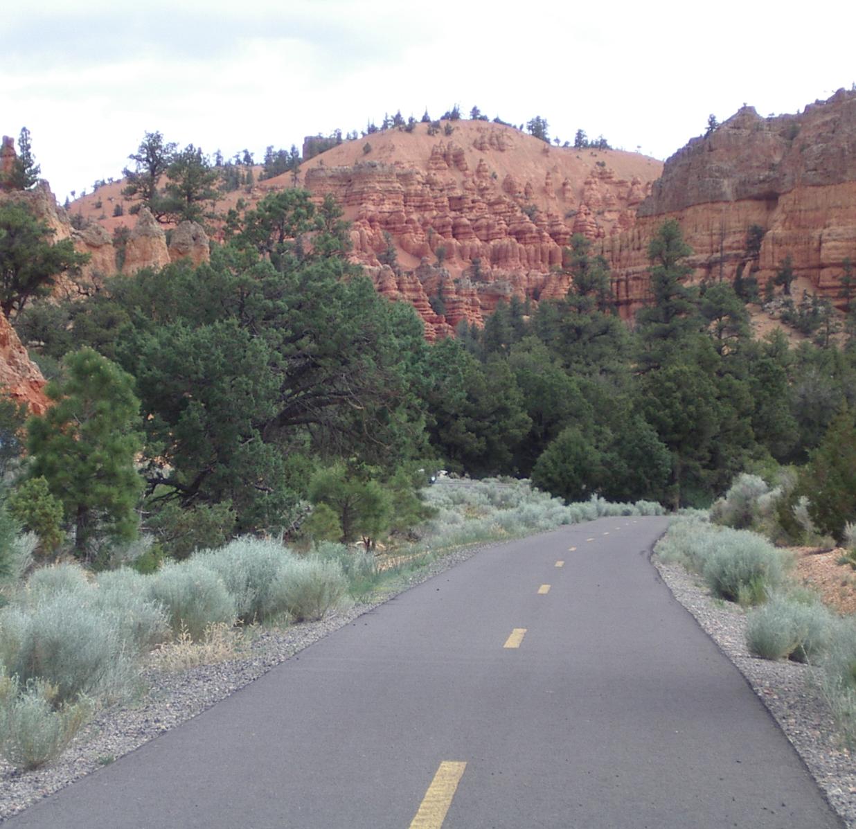
The neat bicycle path through the Red Canyon
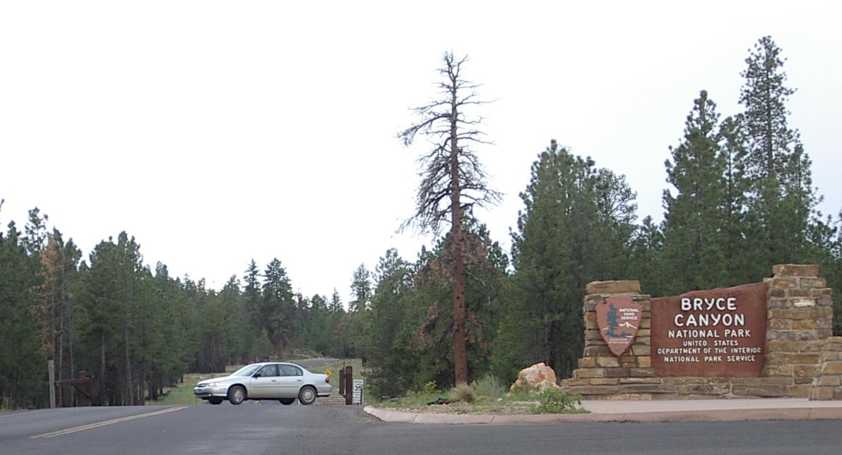
The Park Entrance
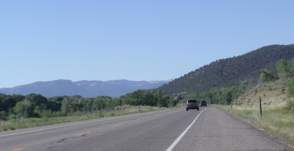
Going south from Panguitch on US 89 is an easy ride, although 89 is busier than the roads I have been riding, it has a good, if sometimes bumpy and sometimes dirty. shoulder. It is also essentially flat. Riding gets more interesting when you turn on UT 12 towards Bryce Canyon. Then you start a long, but mostly gentle, climb that takes you uphill through Red Canyon on a bicycle path, and then, back on the road, across a plateau until you turn south again for the final three mile climb to the entrance to Bryce. I stopped at the first restaurant on that plateau for lunch. The weather was stormy but it only sprinkled on me several tims as I rode from that restaurant to the park,
It cost $10 for a single person to enter the park on foot or on bicycle, or $20 per vehicle.Athough I enjoyed riding in the park, I think the shuttle service ($?) looks like an excellent way to get around in the park.
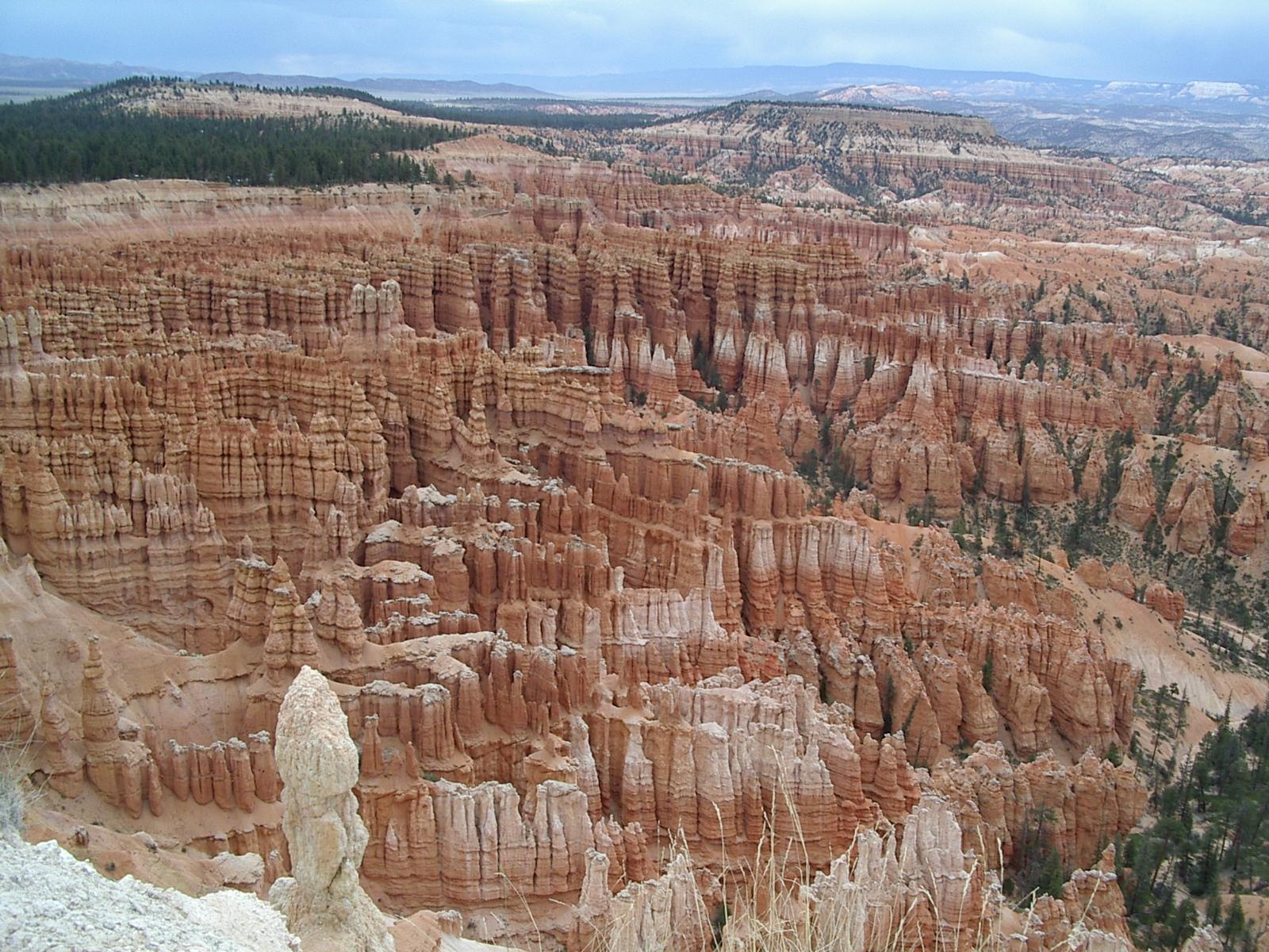
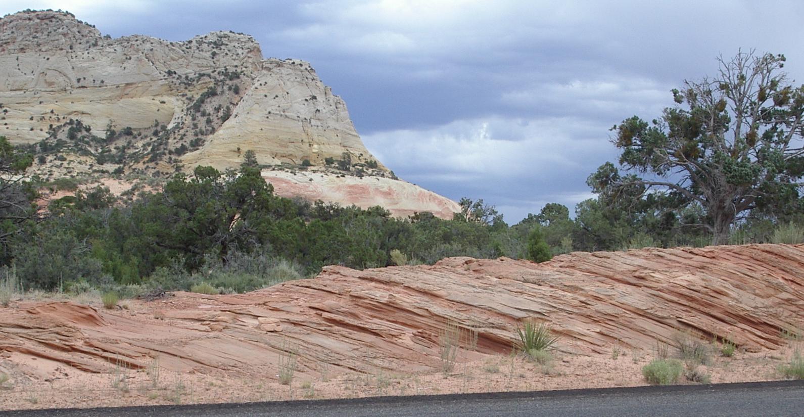
There are 13 viewpoints in the park, spread out over about 30 miles, and the major views (5 of them) of Bryce Canyon itself required about 6 miles of riding, with perhaps a 1000 feet of climbing. The remaining view points are farther apart and, when I was there, were difficult to get to because of road construction. Here are a few samples of the views I visited:
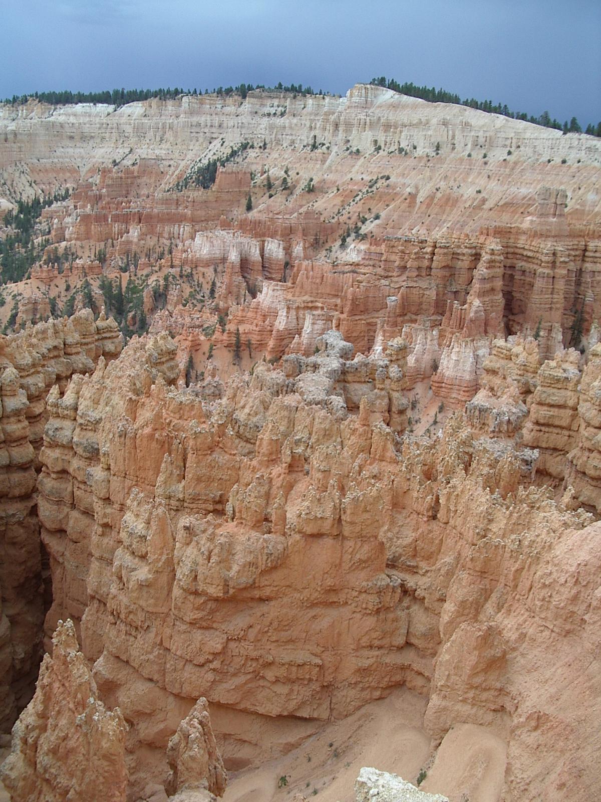
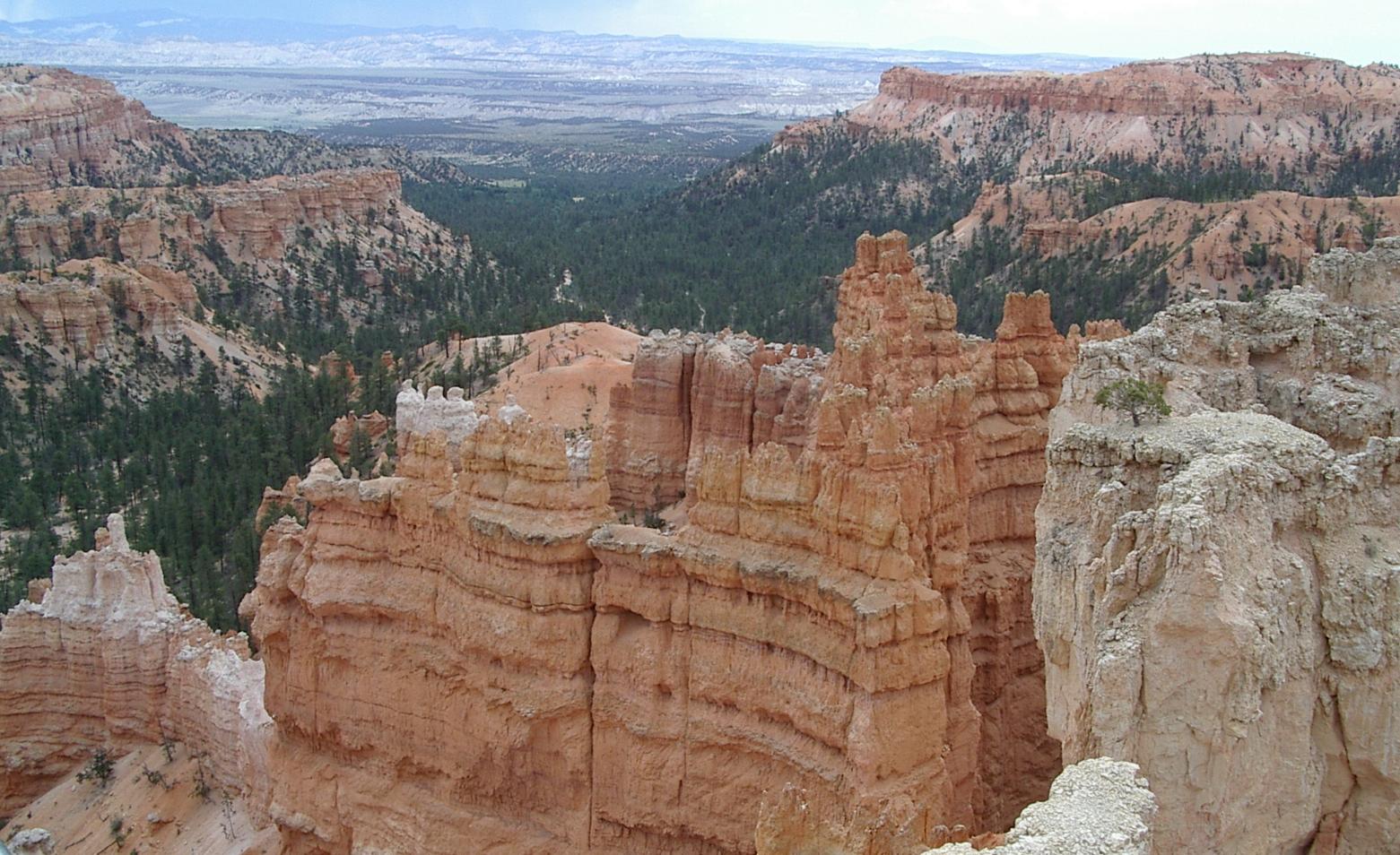
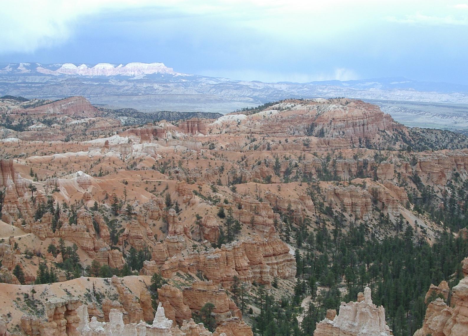

These are unique and quite beautiful rock formations
I left the park in time to get back to Panguitch before five PM, because I had realized that my broken pedal might be repairable with the parts I had with me, but I would need a snap ring pliers to do the repair. I got one at a NAPA dealer on my way back to my campsite, and was able to rebuild the pedal. When I compared the repaired pedal to the other pedal, the repaired one felt much smoother.
On my way out of town the next morning, I finally realized that the bearing in my right pedal had failed because it had no lubricant. I had replaced that bearing in both pedals with ones from a rebuild kit I ordered from Crank Brothers. That meant that the bearing in the other pedal was probably running without lubricant as well. Crank bothers had sold me bad bearings and, since I didn't have another spare bearing, I better do something about getting some lubricant in the other bearing before it failed. I stopped by the side of the road and soaked that bearing with Triflow. The design of the pedals makes that easy to do and, although that bearing is definitely not in good shape, it feels much better after getting some lubrication! Maybe I can make it to the end of this tour without having to resort to using that old pedal again, but I'm still carrying it - and it weighs about a pound! - in case I need it.
Looking back on US 89 about 20 miles south of Panguitch
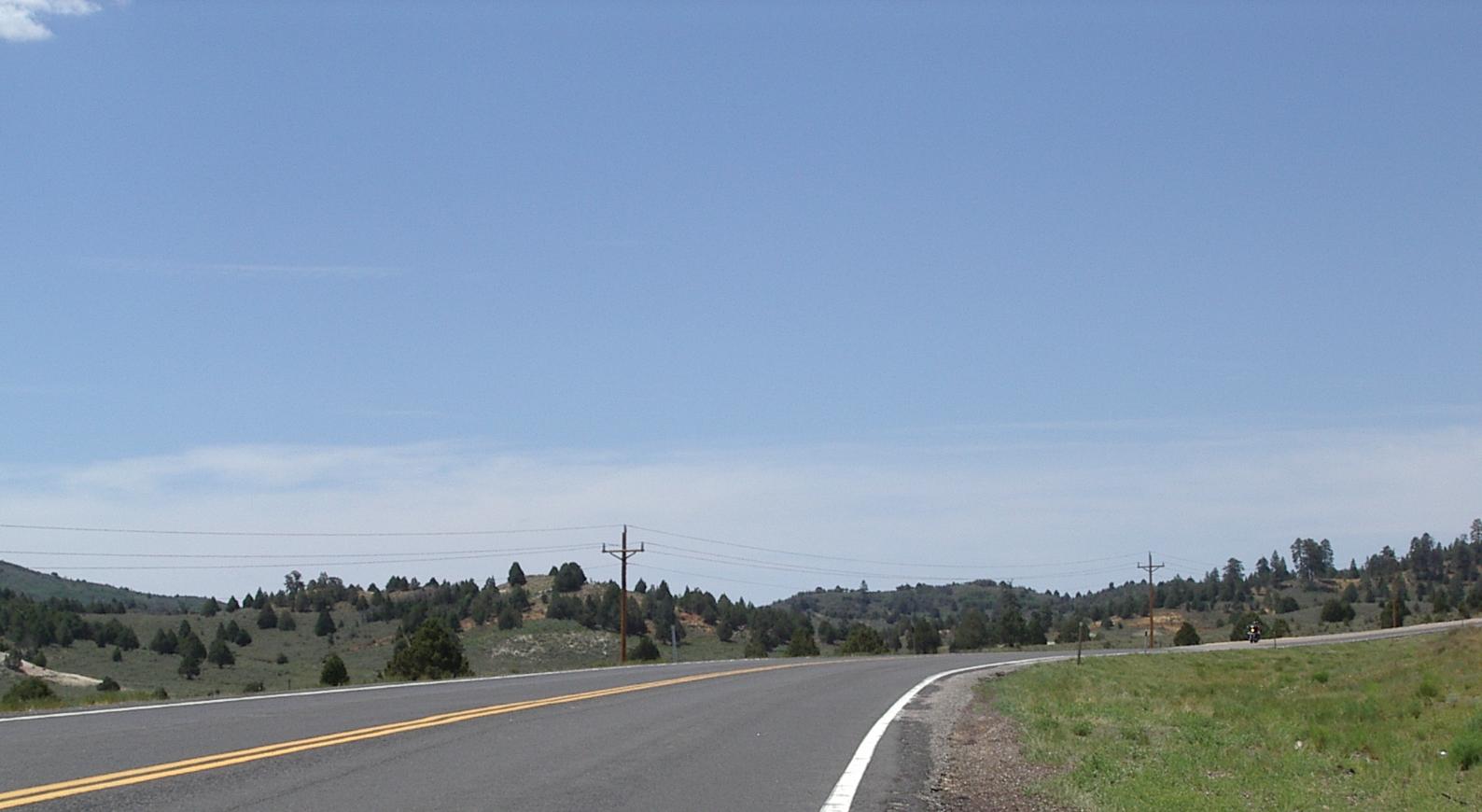
Looking forward at the same place!
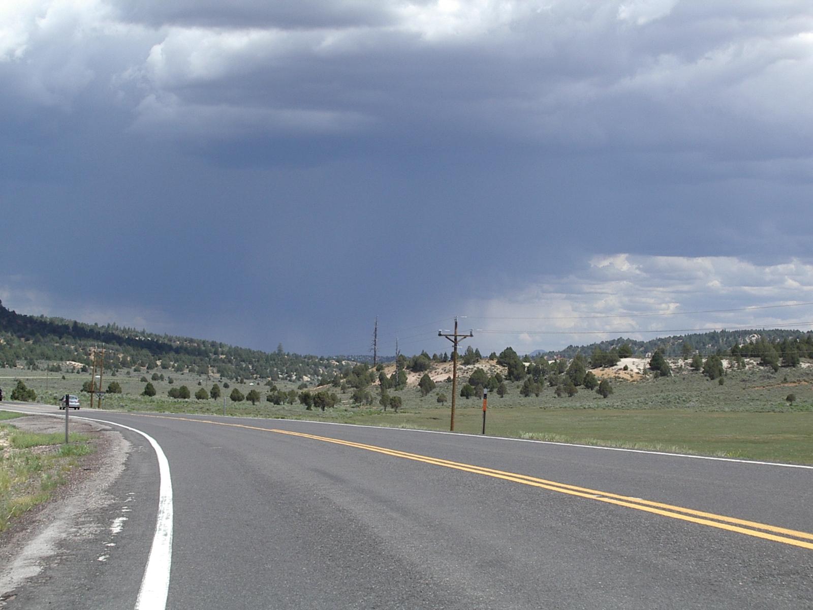
Although the weather was very nice when I left Panguitch, a south wind developed after I rode past the turn off for Bryce. It was with me - about a ten mph head wind - most of the day, and grew to a 20 mph headwind at Mt Carmel Junction. the weather deteriorated rapidly behind me while staying quite nice in front of me, and the storms forming behind me seemed to follow me south even as I rode into the wind. It was disconcerting to look in my rear view mirror and see black clouds dumping rain behind me while the sky was clear and sunny ahead of me!
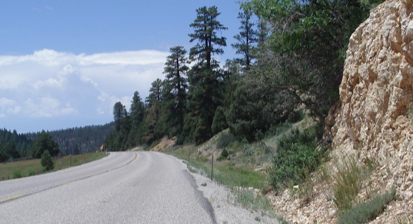
Road resurfacing, similar to that on UT, on 89 south of UT 14

89 heading down toward Orderville
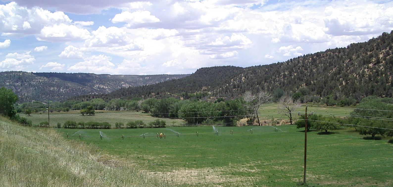
An irrigated field just north of Gardnerville
Riding wasn't bad on 89, other than the fairly constant headwind. Usually the shoulder was OK and the traffic was light. I was riding through rolling hills with a general upward trend - the road is following a small river uphill, until, after a steep sectiion, 89 reached UT 14, the road to Cedar Breaks. The sign on UT 14 said "In 25 miles, 8% grades, 25 mph corners, not recommended for trucks or RVs." On 89, this point is the high point and going south means going down hill pretty much all the way to Mt Carmel Junction where UT 9 goes off to Zion.
This is a very nice, and very pretty, stretch of road. The change in the vegetation between Panguitch and this stretch is quite remarkable. In about 25 miles, sagebrush has been replaced by grass and trees.
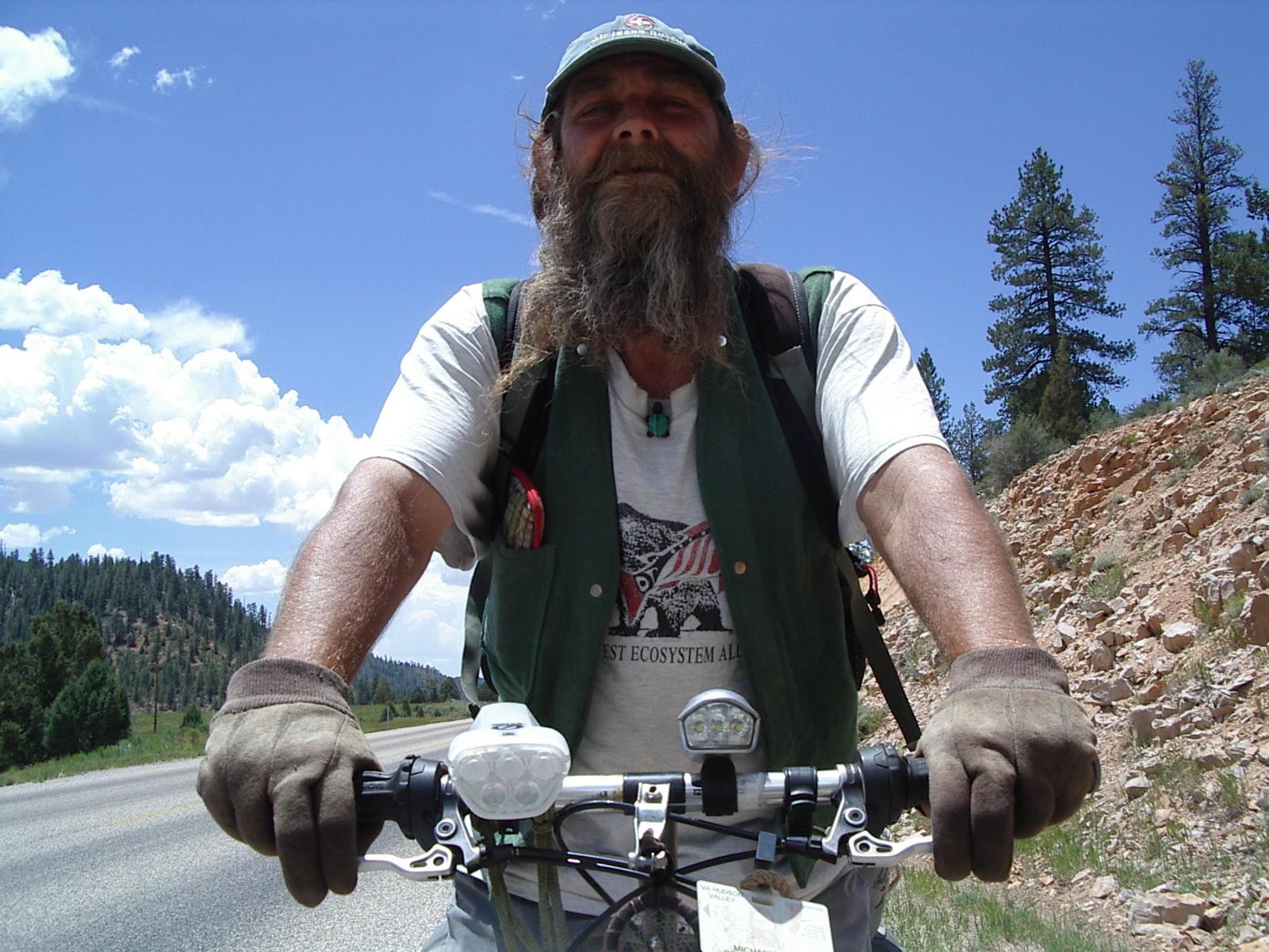
Mike, a tourist heading north on US 89
It was on the stretch of 89 under construction that I met Mike, a tourist heading north. Mike is a tourist who lives on the road, working when he needs to make some money. His current destination is Washington state for the harvest in August. When we first met, he asked, quite earnestly "Do you have any weed?" I said "In Utah?" and he told me a storry about some guys he met in Salt Lake City. I told him about the goings on in Panguitch a few days ago, where, I suspect, the weed supply was quite good. We visited, sort of wheel to wheel, for about 15 minutes, talking mostly about writers who we both loved. I'm carrying a book of Wallace Stegner essays from the 80's - near the end of his long and productive life, and Mike is reading "The Big Rock Candy Mountain," Stegner's first book published around 1940. Mike told me that Stegner was Ken Kesey's mentor, something I didn't know and am quite intrigued by. My nephew Mark, who gave me the Stegner book in Portland at the start of this tour is also a great fan of Ken Kesey. I am amazed, and uplifted, by the serendipty of this kind of meeting!

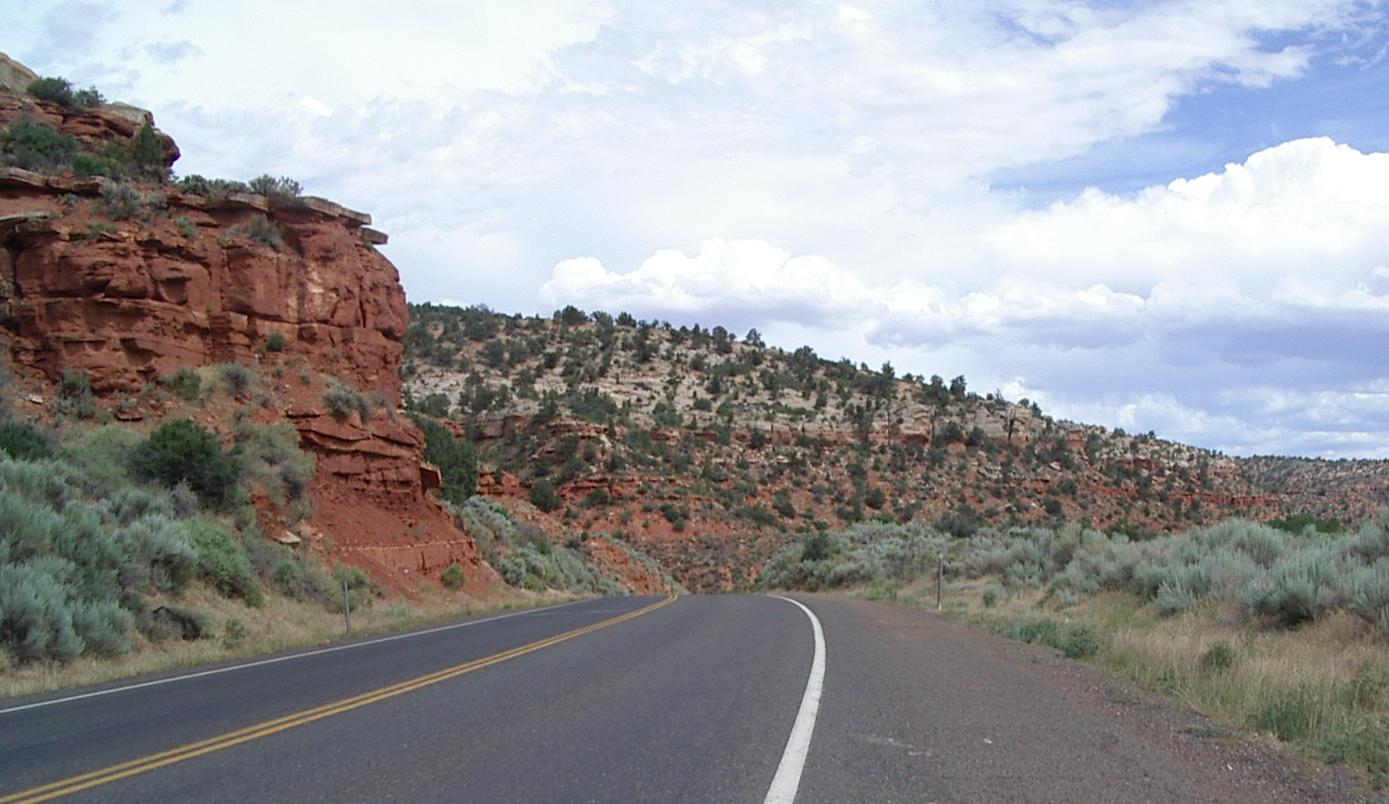
White Cliffs on the way down to Mt Carmel Junction
Pink Cliffs after the climb out of Mt Carmel Junction

Red Cliffs and a pond on the descent to Kanab
I had planned to stop for the day at or before Mt Carmel Junction, but nothing felt right in Gardnerville or Orderville. Orderville seemed to be closed for some civic (or religious since it is hard, in Utah, to separate the two) celebration. At Mt Carmel Junction , I stopped for lunch and, after lunch, asked bout a room at the local motel. They were full with two reunions and some "Run Across America" folks. Then the lady at the desk and I talked about riding to Zion. She said that, when she was a kid, they played in the tunnel but that now it wasn't safe or legal for bikes or pedestrians because of big RVs and buses. She told me I'd have to find someone to carry me and my bike through the tunnel. I decided it wasn't worth the hassle or the two days of riding it would take for me to go through Zion Park, and that I would continue on to Kanab instead.
Cliffs near the end of the long downhill to Knab
Getting out of Mt Carmel Junction was hard work! Not only was there a 20 mph headwind, but there was also a long, steep, climb. I think the initial steep climb was about 700 feet vertical at an 8% or grade. I was head down, grinding away in my lowest gear, fighting the hill and the wind, as I approached the top where a fellow was waiting to cheer me on! A few minutes later, I found out why he was waiting when I met one of the "Run Across America" runners! I met and visited with two runners on the gentler part of that hill. They had run 35 miles at that point and had two miles to go.
Their run is from LA to NYC and they will do it in 71 days. That is faster than ACA bike trips across the US! OF course these guys are sagged <grin>! Interestingly, neither runner I visited with was a native English speaker. The first was was Hispanic and his English wasn't good. The second was French and his English was excellent, but his left leg was not doing well. He was walking. They had 55 days of running to go.
After the long climb out of Mt Carmel Junction, 89 turns east and the headwind was gone. There is a great. and quite beautiful, descent to Kanab from that plateau. Of course, every foot of that descent will have to be climbed again on my way up to the Kaibab Plateau. Still, it was a magnificent downhill run.