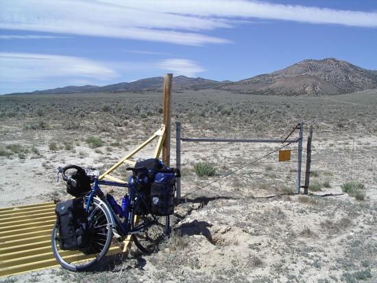
This is how my bike and I take breaks on the desert
I sit on the cattle guard, my bike leans against it
This is how my bike and I take breaks on the desert
I sit on the cattle guard, my bike leans against it
Todays ride was windy and had one more pass than the map on my PDA showed. Unfortunately, that pass is the highest pass on US 50 in Nevada. It was also the last pass of the day and I fought a headwind all the way up it. When I was roughly in the middle of that climb, a fellow who was clearing wood to reduce the fire danger along the highway asked me: "Are you having fun yet?" I replied "Sort of, only sort of!" He laughed and said "Keep pedaling." So I did, not knowing that I still had over 500 feet to climb.
Riding out of Eureka about 8 AM
The day started well, with a fairly gentle 1000 foot climb to the first pass, Pinto Summiit at 7400 feet. Then there was the great downhill into the first valley, only something was wrong. The wind was strong from the Northeast and I was heading East. I've been lucky on the weather all the way across Nevada, so I shouldn't complain about a little wind. It really was that bad, but it was enough to make riding a grind instead of a pleasure. It was also almost chilly enough for me to get out my windvest, something I haven't needed in Nevada.

The first pass
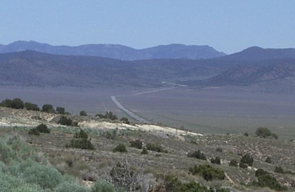
The first valley has a dip in the middle
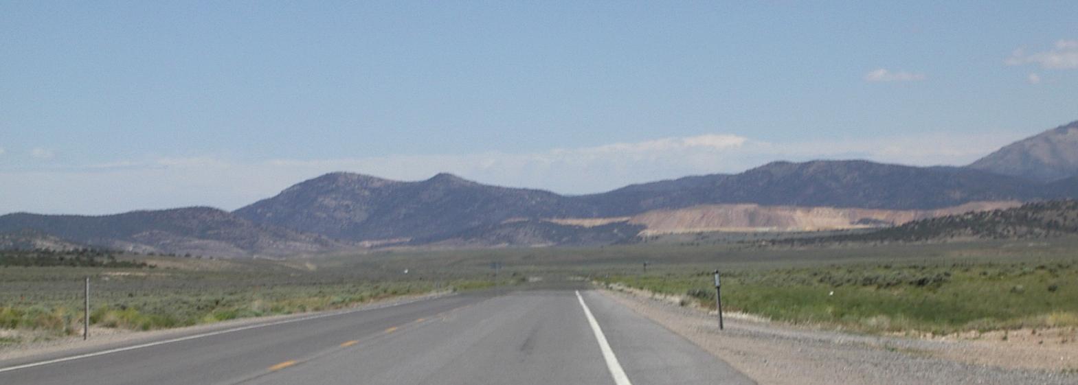
The second pass
As I cranked across the first valley, I knew the climb ahead to the second pass was only a few hundred feet. I used my altimeter to keep track of the alitutudes of the valley floors so, since I knew the altitudes of the three passes (not knowing about the fourth ...), I would know what kind of climbing to expect at the end of each valley. That logic was based on the idea of flat valleys separated by ridges. It didn't work well today as this part of Nevada is quite different from the part further west.

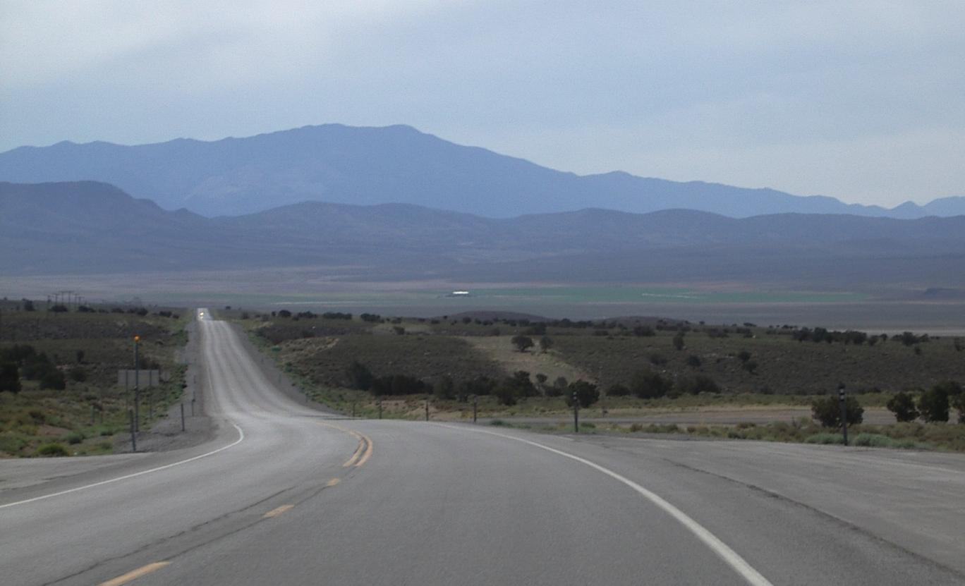
The second valley steps up from west to east so its far side is higher than Pancake Summit
Instead of desert valleys separated by ridges, this country is arid mountains with valleys that are not flat, and not really desert, between them. Each pass I rode over today was a little greener than the one before, and grass started displacing sagebrush in the valleys. This is still a very arid land, but less arid, and more sculpted, than western Nevada.

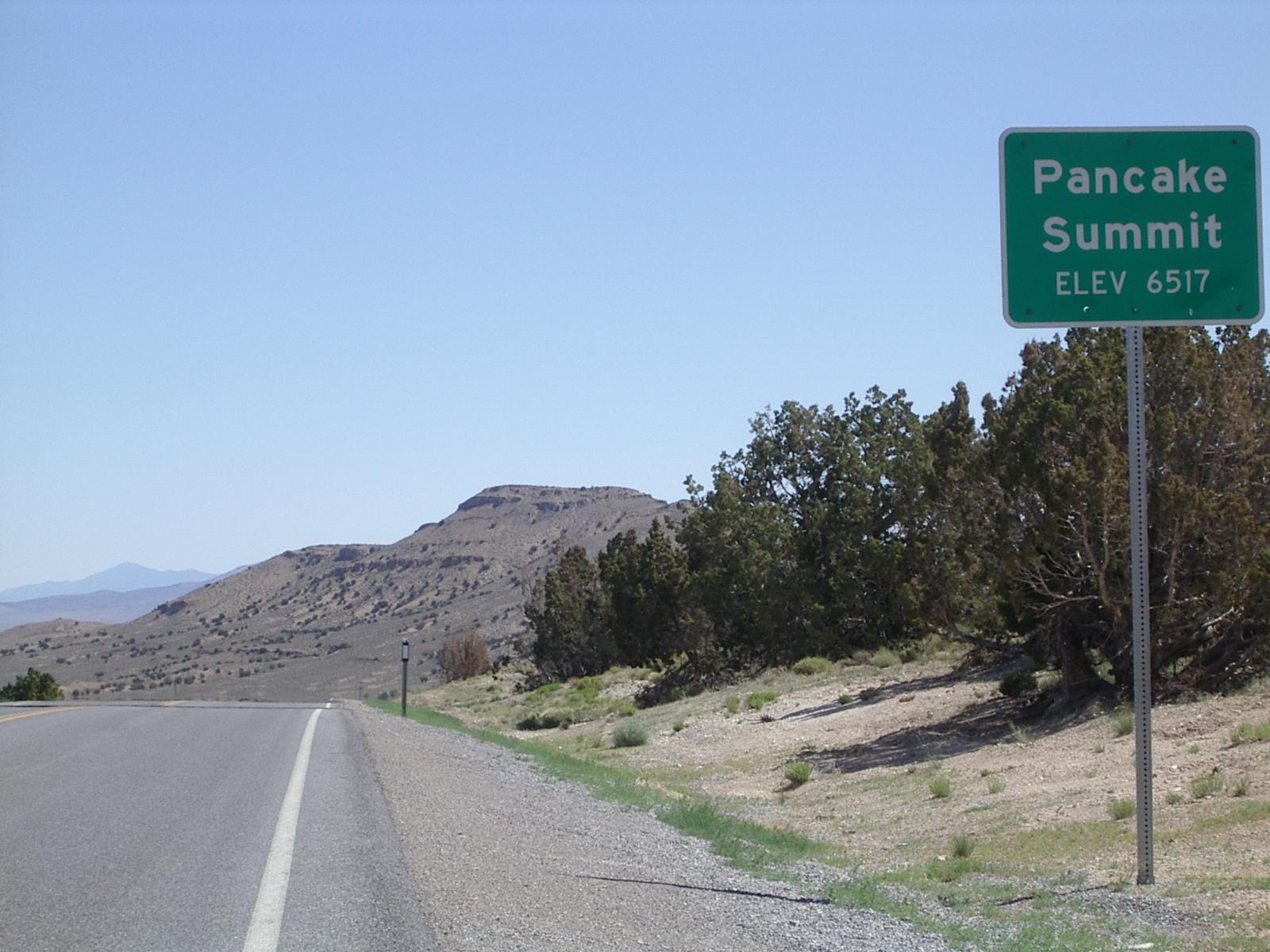
Each summit/pass has a solar powered weather station
The third summit was a much harder climb than the first two. Most of the climbing was on a steep winding road following a gorge. The total climb was about 1500 feet and I was in my bottom two granny gears for most of it. At the top, the road curves in such a a way that the summit sign and the tower for the weather station - there is one at each summit on this road - appear to be directly in the middle of your lane as you climb toward them.
Looking down on the third valley
from near the end of an incredibly long, mostly gentle, downhill
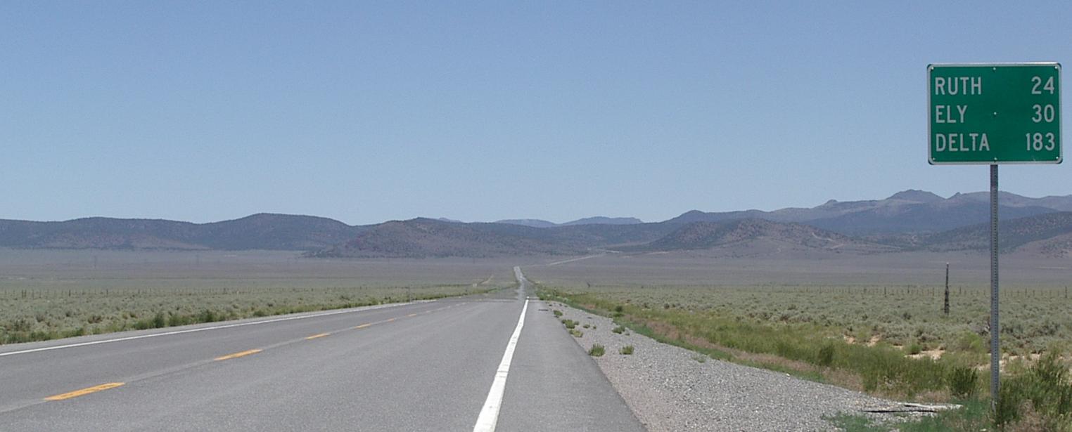
Crossing the third valley, 30 miles to go to Ely
And I thought they were relatively flat miles!

Desert Flowers, about half way up the fourth pass
The descent from the third pass was the longest descent of this tour. It went on and on, with half a dozen miles of 20 mph coasting followed by another, longer, stretch of gentler downhill. Thanks to the wind, that section required pedaling, but was still fast riding. I stopped at a guardrail near the end of that downhill for my second food break. The first one was at a cattle guard in the desert of the valley after the second pass. The third was at a guardrail most of the way up the fourth pass. There were few guardrails west of here - you don't need them on the desert and the roads over the summits were on gentle slopes.
Finally at 7600 feet, this long climb ends!
Descending to Ely - those pits are five miles before Ely
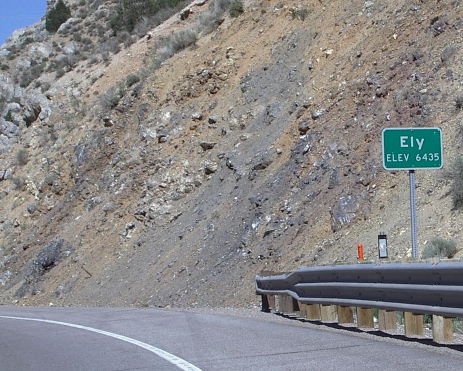
Entering Eley - it isn't as pretty as Austin or Eureka <grin>
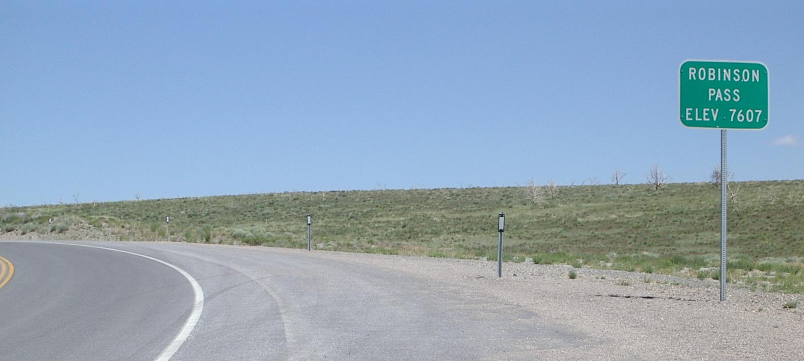
When I left the third valley, I thought I was in for a short, gentle, climb over to the next valley. The climb was gentle - I could have done most of it in my middle ring if it wasn't for the headwind, but it went on for mile after mile. I stopped twice during that climb, once to photograph some flowers and then to eat. When it had climbed higher than any other pass on US 50, it finally ended with a sign for 'Robinson Pass.' All the other passes have been summits, so why is this one a pass?
After Robinson pass, it is pretty much all level or downhill to Ely. This was another of those really long downhills that would have required very little effort, if I hadn't had a headwind. Still, the last ten or fifteen miles to Ely are, relative to the ten miles of climbing before that, a piece of cake.
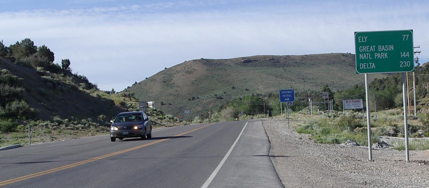
I got to Ely after 7 hours and ten minutes of actual riding. For 77 miles, that is a slow ride for me at just over a 10 mph average speed. I left Eureka at 8 AM and got here at 4 PM, so I didn't waste much time on my stops! Now if there were only someplace to eat in that second valley, I would have gotten here later, but with a much happier tummy. All this snacking instead of meals is taking its toll on my digestive system!