
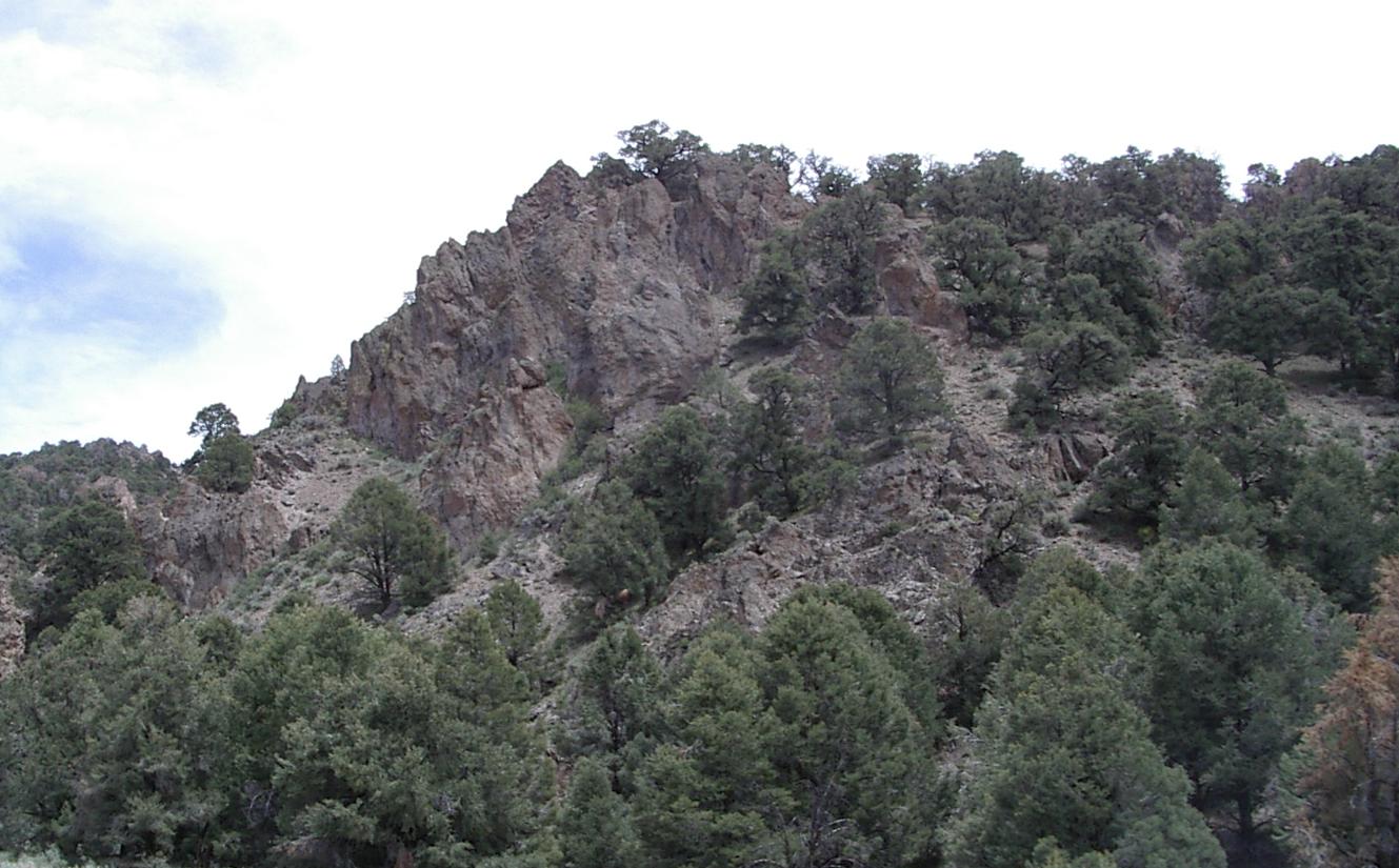
The high point of todays' ride!
The high point of todays' ride!
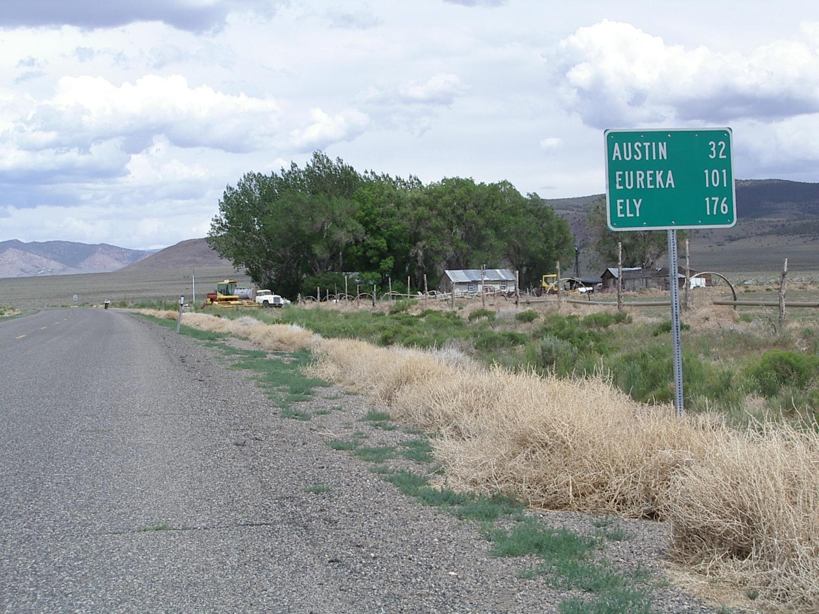
I rode from Fallon to Austin today, two towns separated by 110 miles of mountains and desert, and not much else. This is the longest stretch I plan to do in Nevada, and, because there is a lot of distance, a lot of climbing, winds, and very few services, the hardest single days ride I expect to do on this tour. I made it harder by choosing to go the more scenic route on old US 50, but the fellow that helped me make that decision ended up making the scenic way easier by giving me a ride up the big climb at its start. I'm very glad he did since, even with his help, I was really wiped out by the time I got to Austin. I had to stop to rest three times just to get up the hill on US 50 coming into Austin. I don't think I would have been in any better shape if I had stayed on US 50, and I know I would not have enjoyed the ride nearly as much if I had. To be fair, part of the problem was that I was pushing hard to reach Asutin before thunderstorm cells cranked up in the late afternoon. I pushed too hard and ran out of energy a few miles too soon!
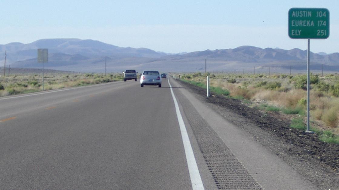
Half an hour out of Fallon - it is a long way to Austin and tthe shoulder is unusable
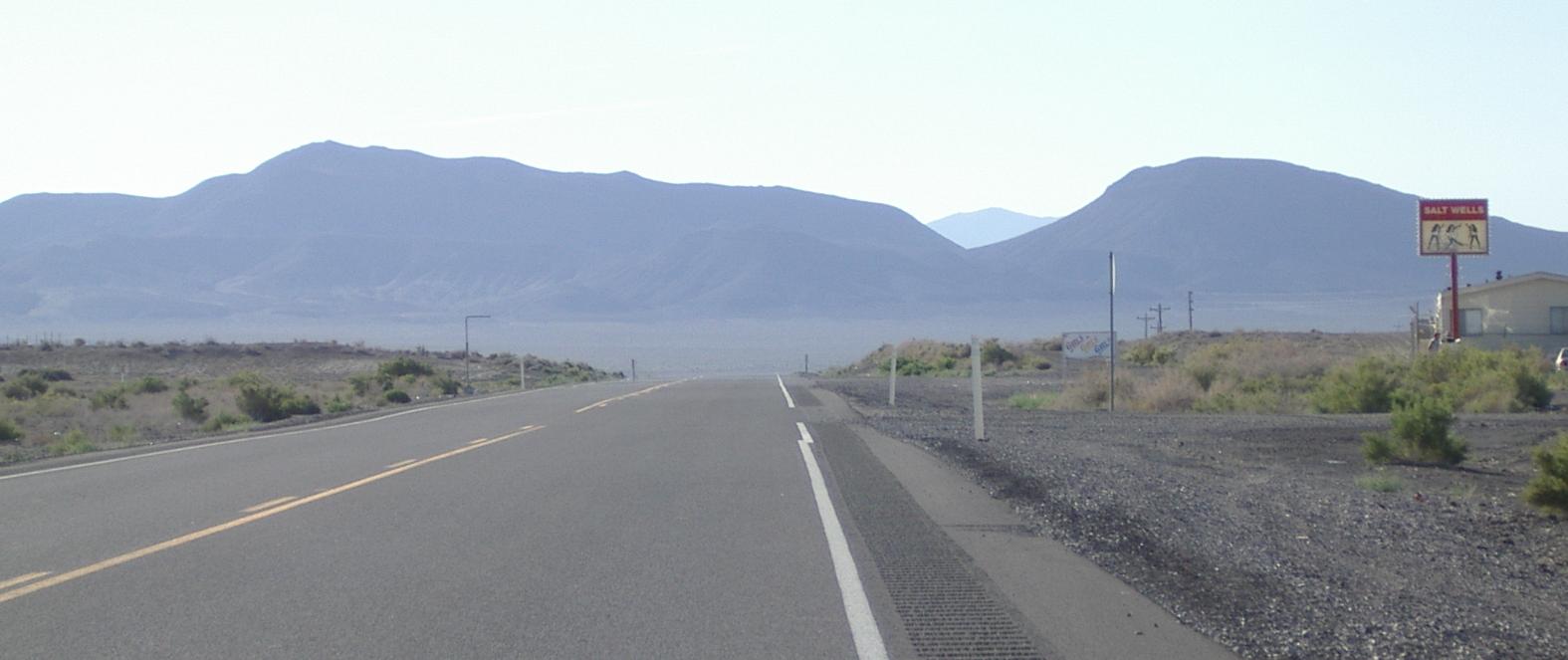
The ride from Fallon to Middlegate was lonely - the only service I saw a brothel (!) - and beautiful, and uneventful. Looking down on this desert from an airliner, which is the only way I had experienced it before today, I wondered why, and how, people could live in it. Today I got to appreciate its beauty and to better understand why people would want to live out there.
The first 'services' at 15 miles from Fallon
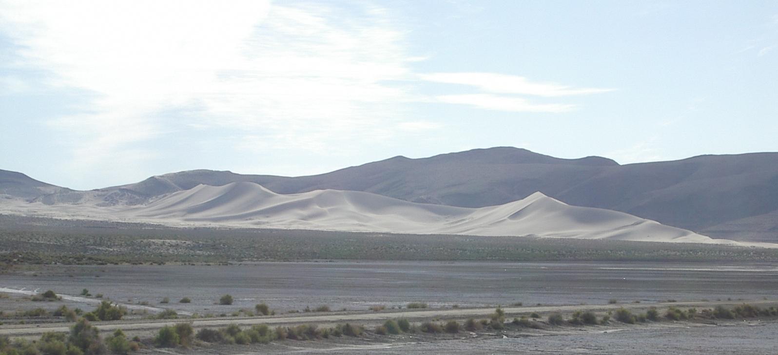
The beautiful "Sand Mountain" at about 30 miles

A large plant in the middle of a 'lake' on the salt flat
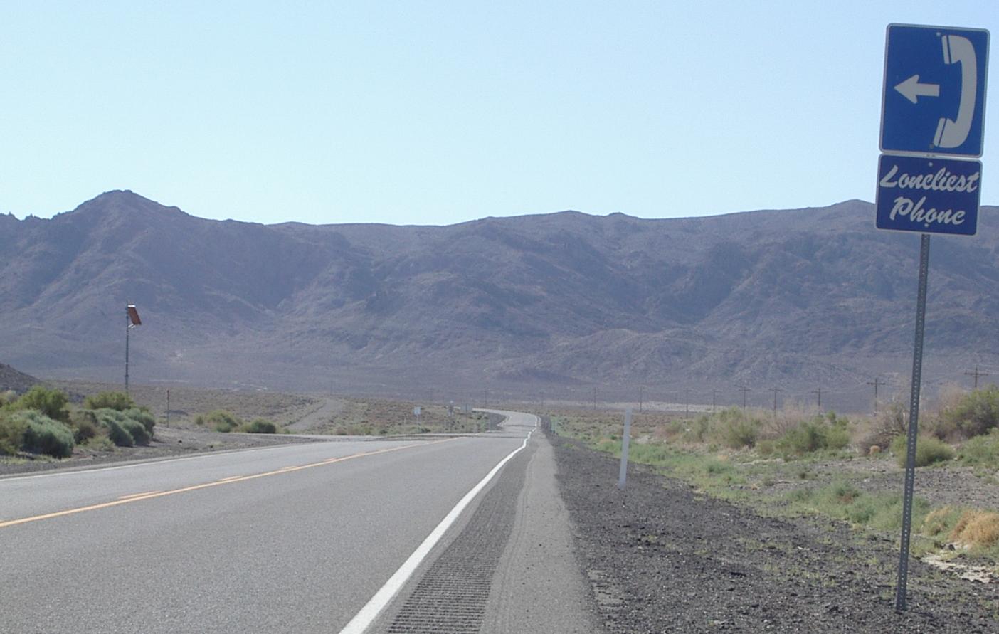
A phone, near Sand Mountain
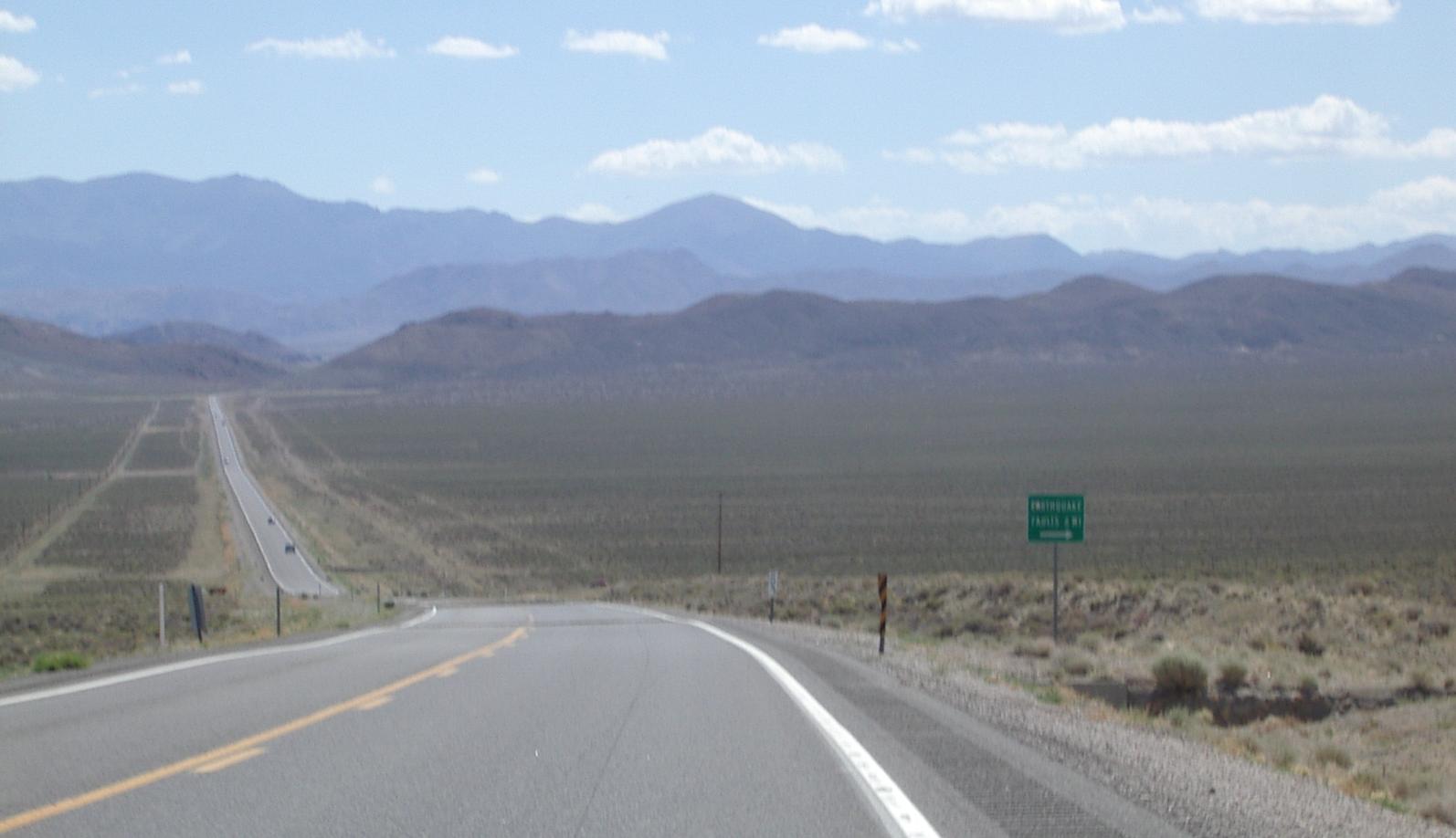
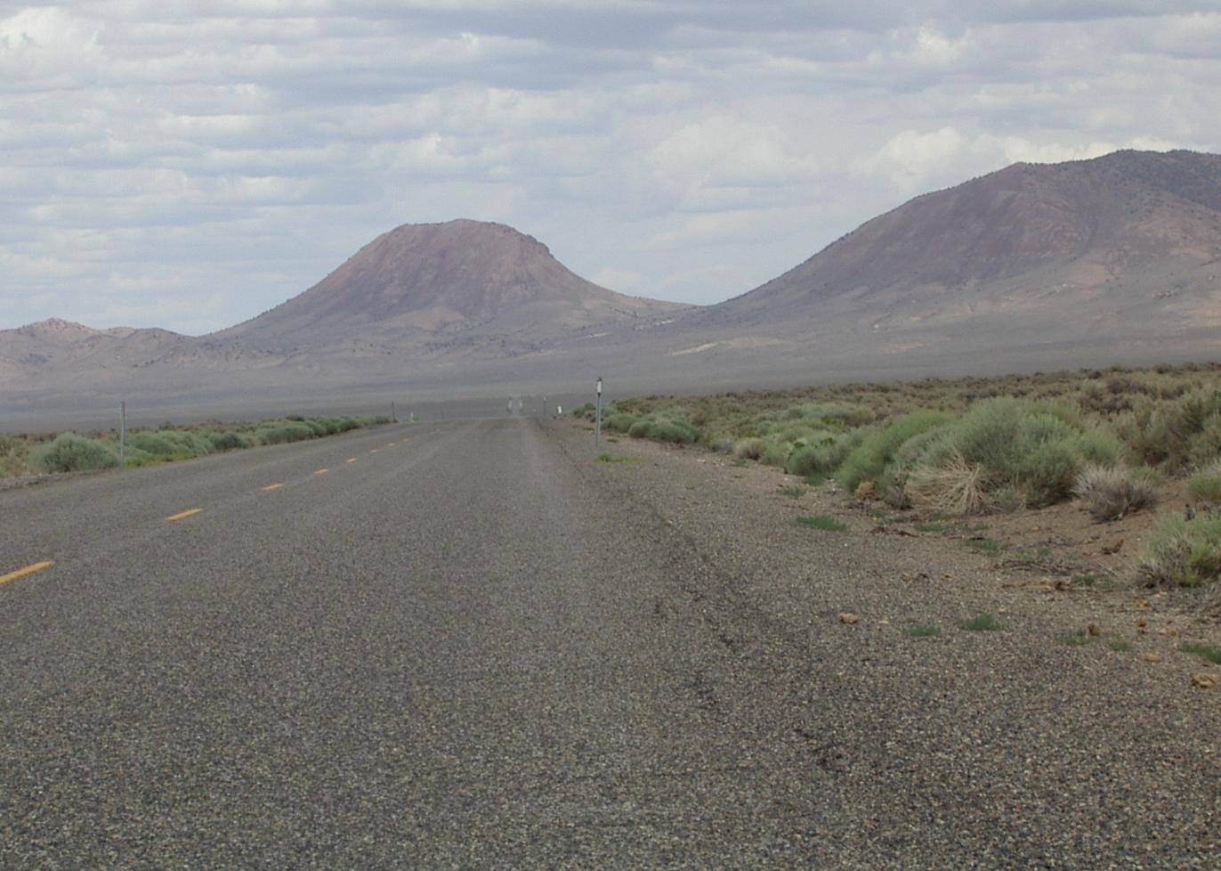
The first few miles out of Fallon were irrigated fields, but then the desert starts. It was flat, but with headwinds as US 50 turned south east and wove its way around buttes towards the mountains. Later, as the road turned more east, the headwinds went away and I was cruising at 15 mph on a huge flat plain surrounded, on three sides by mountains. A vehicle would come along every 15 minutes of so, but usually I was alone with the sound of the wind and my tires. I really enjoyed this section but after about an hour and a half, my knees were hurting. I stopped after 2 hours, and almost 30 miles, to take a break.
One of the problems of riding in this desert is there are few places to stop with a place to lean my bike and a place to sit comfortably. I stopped a the 'Put on Chains' sign just before the first pass because I could lean my bike against the sturdy signpost. There was nowhere to sit other than the bumpy shoulder of the road. After my snack, I headed up the first pass of the the day. This pass, like all the other climbs except Carrol Summit, was a climb of around five hundred feet.

The first pass
Going down into a new valley

The second pass
The turnoff for Middlegate
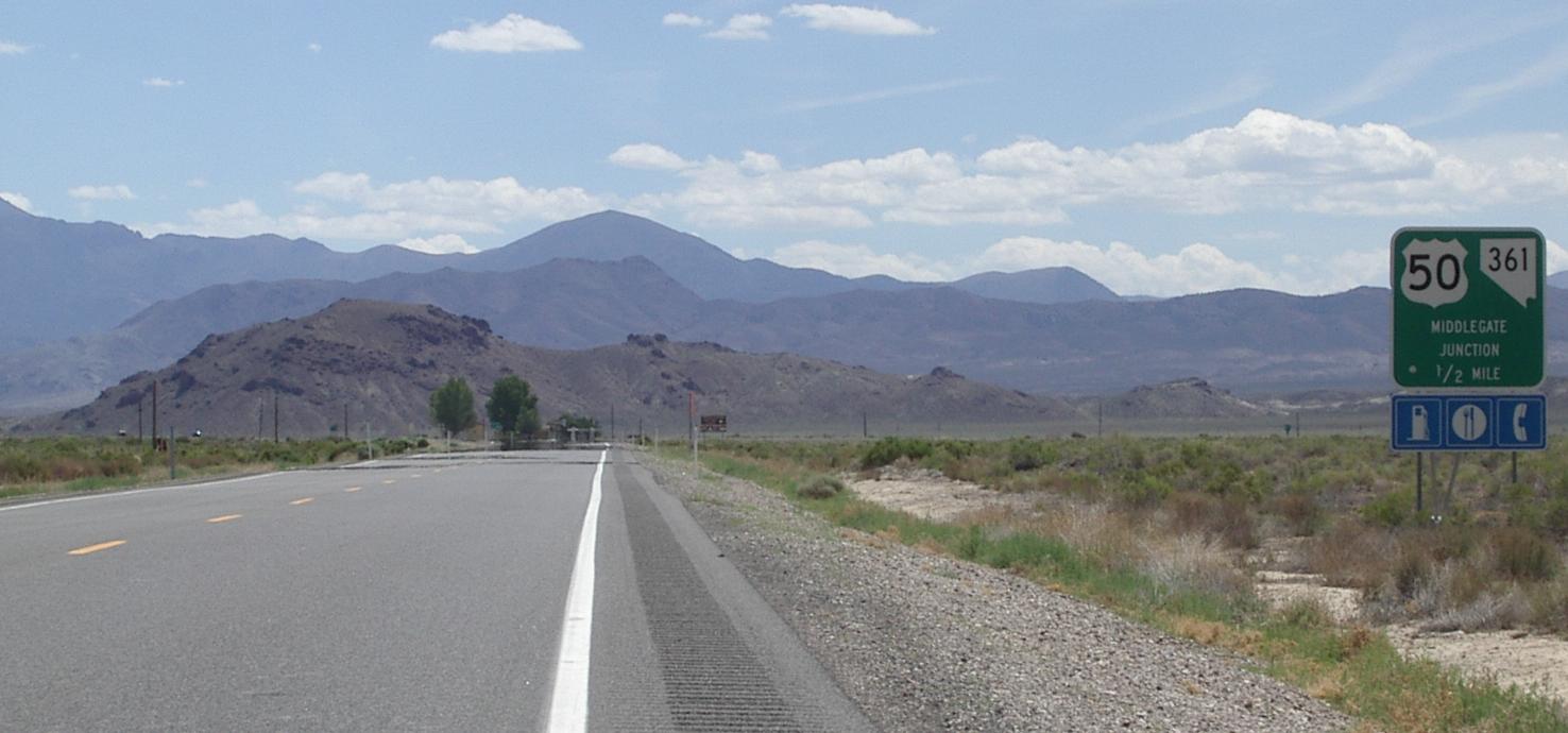
The rest of the ride to Middlegate - the only services between Fallon and Austin - was "ride up to a summit, ride down to a big valley, ride across the flat valley floor, and repeat." The ten miles or so before Middlegate were pretty flat and more like riding along a valley in the mountains than riding across desert which is what the other flat areas felt like. Riding up to the summits was hot - those #$%@$! gentle tail wind usually made sure of that! - and riding across the valleys was fairly boring. but not hard. The valleys after the first summit were not as beautiful or as stark, as the big valley area before it.
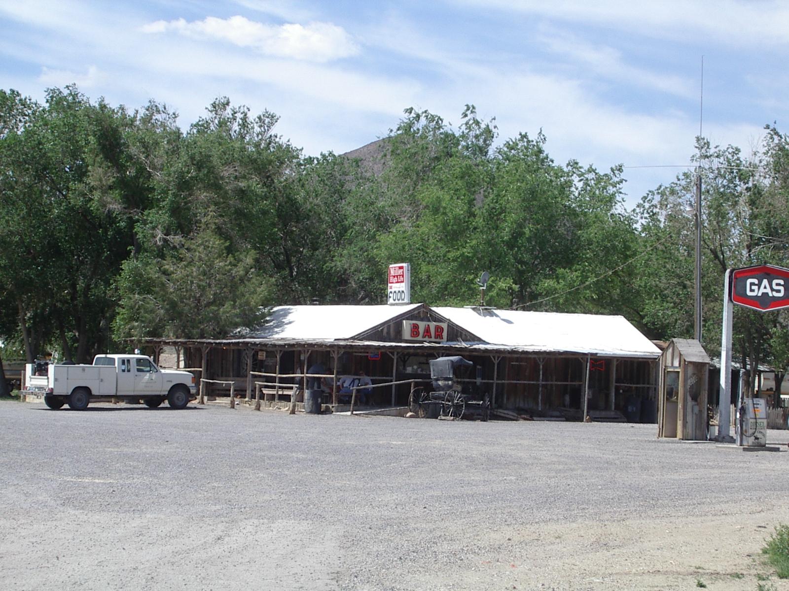
Middlegate
Middlegate surprised me. It looks old - it is, and historic - and it looks sort of run down. Yet when I went inside, it was very pleasant. If I had known how nice Middlegate is, I think I would have planned to spend the night there rather than doing Fallon to Austin in one day. The sign does say Motel, but the 'Motel' looked pretty minimal. Minimal or not, camping or motelling, Middlegate felt like a place where the people would take good care of you. And, I know from experience, they would feed you very well. A neat place!

The Shoe Tree
The old US 50, which was impossible to keep open in the winter

A neat farm where old US 50 starts up the canyon
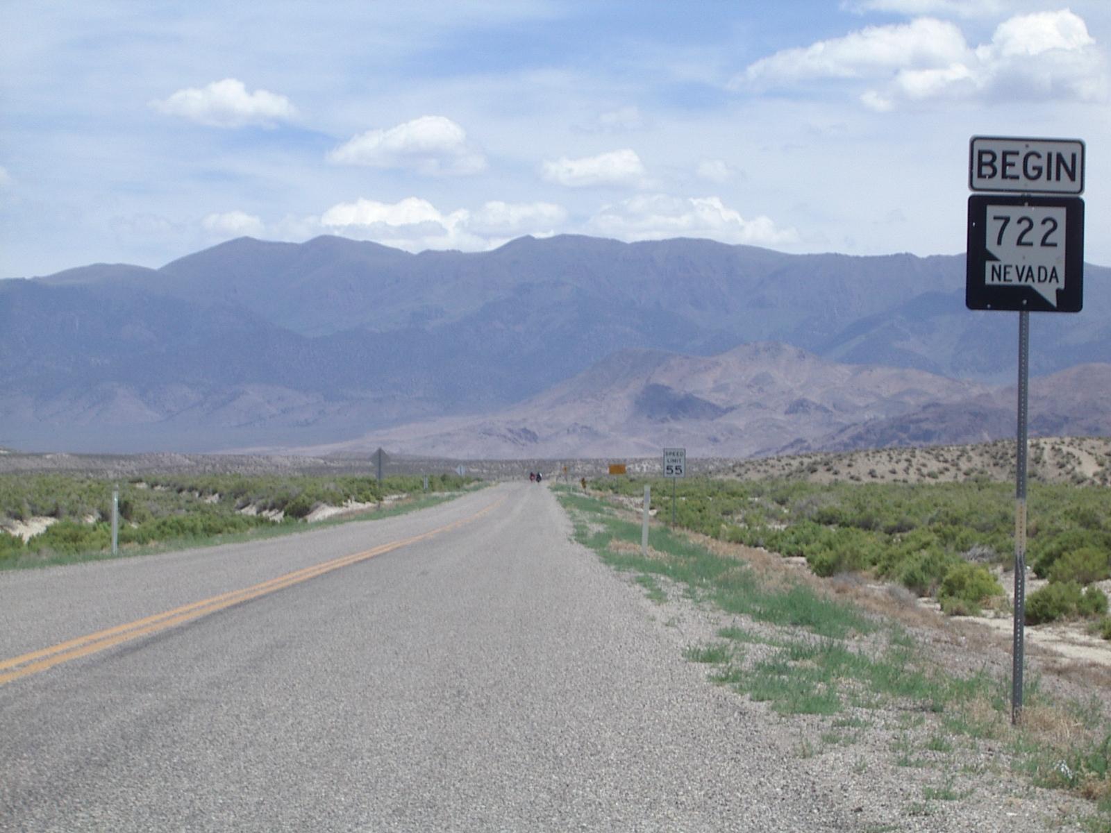
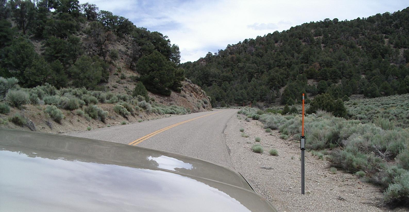
While I was eating, a couple came in and sat at the bar, visiting with the people working there. When I left, they came out to the porch where I had parked my bike and he asked about my trip. He knew all the towns on 50 and obviously loved the area. We talked about services and how nice Middlegate was and what a hole Silver Springs is <grin>. Then he asked if I had considered taking the scenic route to Austin. The old US 50 exits off the new US 50 just past the famous Shoe Tree which is about half a mile from Middlegate. It climbs more and is much more scenic than the new 50 and it has hardly any traffic on it.
I was getting bored with US 50, and it looked to be quite boring for most of the rest of the way to Austin. Moreover, the level of traffic was picking up and, without a rideable shoulder, that made riding a little tense. This fellow obviously knew and loved the old route, so, on his advice, I took it after I left Middlegate. The fact that a jerk driving a big pickup passed into me between Middlegate and the Shoe Tree, reinforced my decision to get off US 50. This was serious jerk - there was no reason except nastiness for what he did, and it forced me to bail out across the nasty rumble strip which, I guess, was what he wanted. To be fair, he was the only jerk driver I've encountered on US 50.
As I rode on old 50, greatly enjoying the peace and quiet, if not the long climb with that gentle tailwind, the fellow who suggested I ride It, came slowly by with his wife in new pickup. We waved and grinned and he drove on as I rode on. Once the road entered the mountains - only a mile or two - it was obvious that this route was indeed much nicer than the new route. It is my favorite kind of mountain road - one that follows a creek up the valley formed by the creek. Even in this arid area which is suffering sever drought, there was some water flowing in that creek. Nice.
A few miles up the road, the pickup came back and stopped to talk. He said "It's 7.5 miles of climbing from here to the top, some of it quite steep." I said, grinning, "Would you be offering me a lift to the top?" We decided it was a good idea. I had 60 miles to go to Austin and I knew I would be pushing my limits doing this climb. Without the several hours of climbing, it would be a lot easier to finish this long days ride!
We loaded my bike and I sat in the bed of the pickup with it as we drove slowly, so I could appreciate the scenery, to the top. There is about 3000 feet of climbing in that seven miles, but there is also much beauty. The land, and even the vegetation, look much like Colorado. The road winds its way up the creek and then, in a series of steep switchbacks, climbs over the top of the ridge.
At the top, we unloaded my bike, introduced ourselves, and talked for a while more about this beautiful area which he loves. Then Hal told me about Shelly, his wife of 48 years, who was now suffering from advanced Alzheimer's. Hal and Shelly now live near Fallon. Shelly suffers from confusion and anxiety attacks, and riding in the truck helps her avoid those symptoms, so Hal drives her around. They visit good places like Middlegate.
Before we parted, I told Hal how to find my bicycling pages - just look up Mark Boyd on google. Hal, if you read this, send me an email (boyd@unca.edu) and I'll add you to my tour mailing list. It was really good meeting you.
The only trees in the big valley after Caroll summit
I stopped here to rest and to eat
Heading for Railroad Summit, the pass to the the valley of Austin
beautiful, desolate, country
The ride down from Caroll Summit was great, and the big valley at the bottom had that beautiful desolation of the big valley before the first pass. It also had a whole lot of dust devils, more than I've ever seen in one place, spinning their way down the valley floor and across the highway. At one point one was passing across the road in front of me while I watched another one passing across behind me. The wind on the valley floor was quite turbulent!
When I stopped to rest - and change memory card in my camera because I had filled its CF card just after the summit - I had 32 miles, and one pass, to go to reach Austin. None of that riding was very hard - Railroad Summit is one of the 500 foot kind - and the rest of the route was either flat or downhill till old US 50 ended. Still, I had ridden some 75 miles and climbed a few thousand feet at that point and I was tired. I was also worried about getting caught by one of the thunderstorms that seemed to be developing ahead of me.
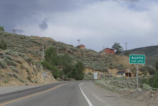
I rode pretty hard, especially after I got over Railroad Summit and discovered a great downhill with a tailwind into and through another beautiful valley. I cruised at 20 to 30 mph for a dozen miles or more, having a good time and working hard to get to Austin before the storms started. When I got to the end of old US 50, I was exhausted. I made it up the long hill to Austin on will power and, without resting, I couldn't have gone any further. I found an inexpensive motel, cleaned up, had a large supper with lots of coffee, worked on the images for this page, started doing the html file, and gave up and went to bed at 8:30 PM. I was very tired.
If I were doing this ride again, I would do a short day to Middlegate and then ride old US 50 to Austin. Doing both was too much for one day. By splitting the day, I could have enjoyed two very good days without pushing my limits and I think I would really have enjoyed a relaxed overnight at Middlegate.