California 1 on the northern Coast
California 1 on the northern Coast
I rode through (small, but beautiful) mountains and along a rugged ocean coast today. All I can say is I enjoyed riding in the mountains much more than I enjoyed riding along the coast! Riding along the Eel river on 101 was nice, except for a few tight places were I got mixed up with trucks passing each other as they passed me <grin>! Riding California 1 up Legett Hill reminded me of riding North Carolina 80 up to the Blue Ridge Parkway, except it was an easier ride. Riding down the 1800 foot hill on the other side was quite nice too, sort of a mini Mckenzie Pass descent. I was glad I had good Koolstop brake pads! When I got to the top of the hill just before CA 1 reaches the coast, I was almost blown off my bike by a wind gust. That was a preview of what the wind along this coast is like.
Leaving Garberville was complicated by the fact that there are three exits going south, but only one of them has a way to get back on going south! I 'solved' that problem by riding down an exit, fortunately getting back on 101 just before a Highway Patrol car passed me. After a short climb, 101 drops rapidly about 500 feet (I reached 44 mph on my touring bike) back down to the Eel river. Actually, 101 does that much of the way from Fortuna to well after Legett. It 'follows' the river but straightens out most of the bends by climbing the hills between the loops of the river.
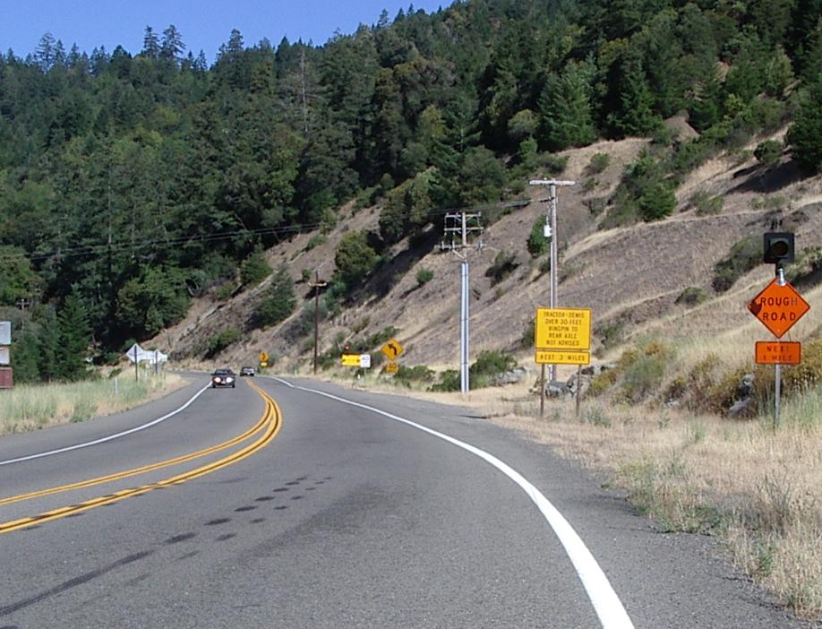
Warning signs going into the first gorge
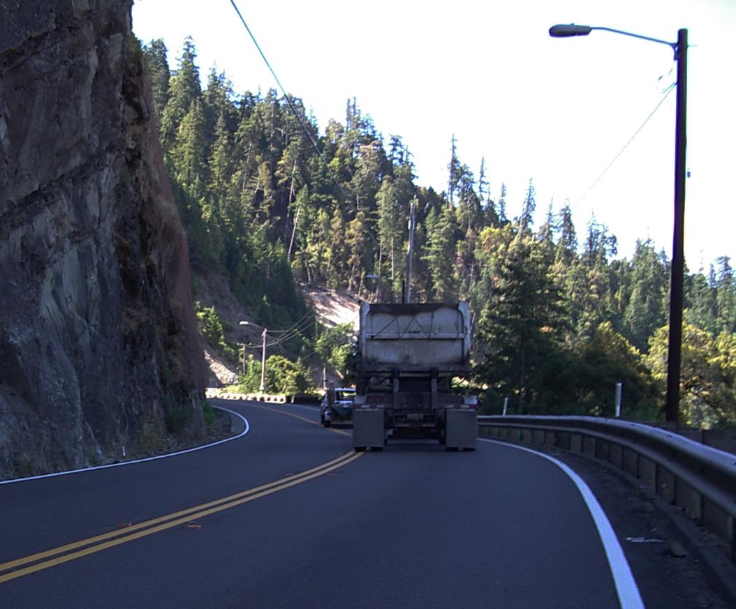
The first part of the second gorge
If you look at a map, you'll see two sections between Garerville and Legett where 101 is a twisty two lane road. Those sections are where 101 stays in the river gorge.The road is narrow and sometimes shoulderless and there are lots of big log, chip, and lumber trucks that drive through those gorges. This means a bicyclist better pay close attention while riding there!

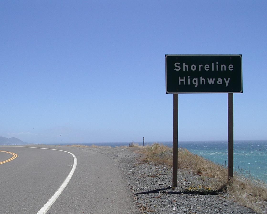
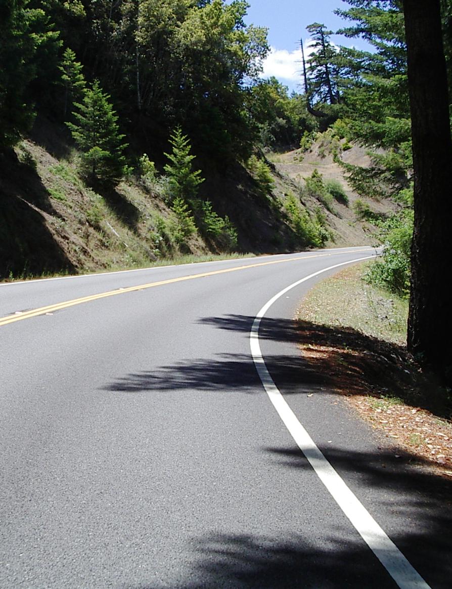
Heading west on California 1
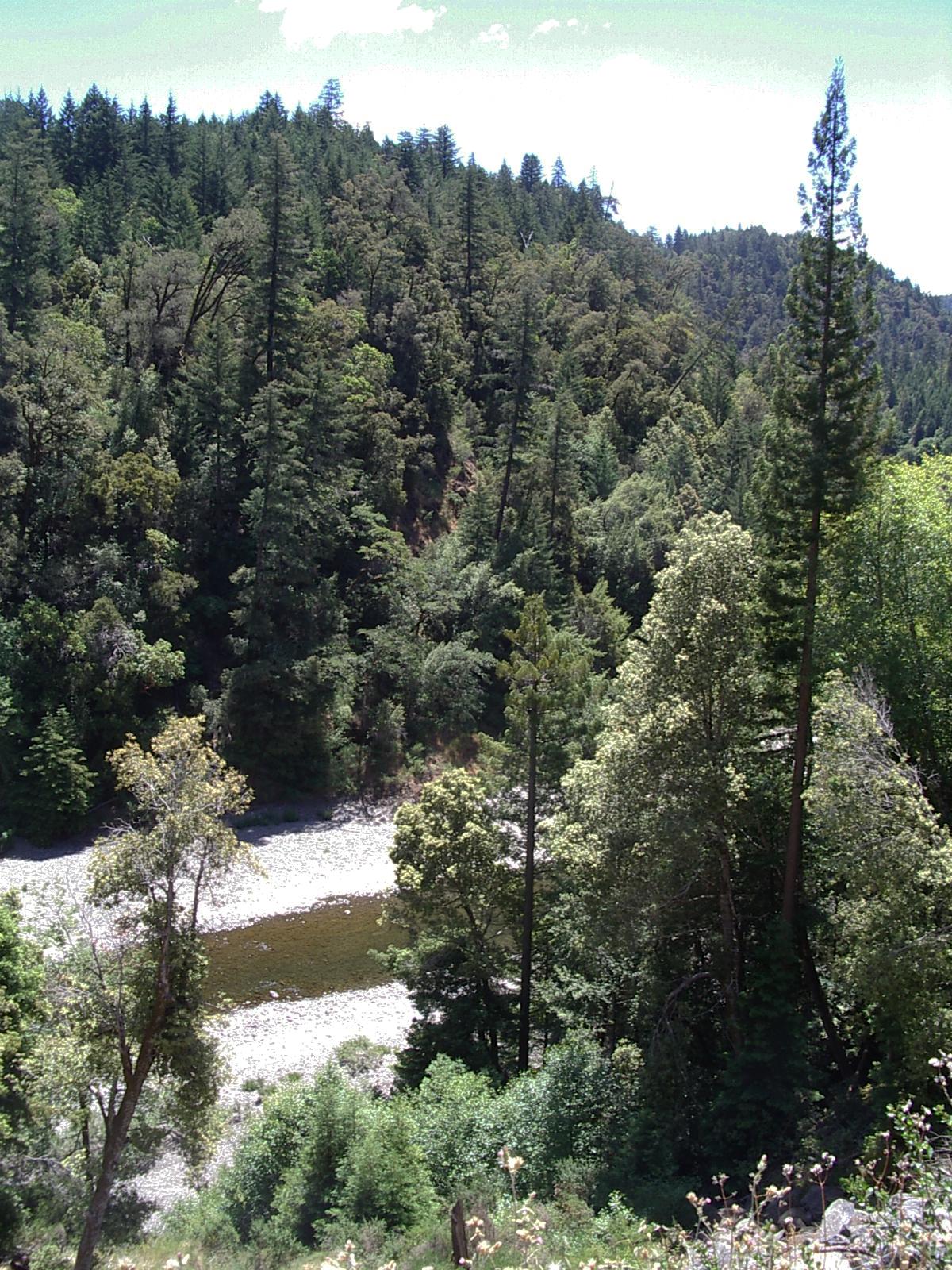
The last view of the Eel, from California 1 on Legett Hill
I stopped for lunch in Legett, the headed west on California 1. The road first dips down to cross the Eel river, then climbs for about 1000 feet vertical at a 5 to 7% grade. It is long climb, but not as hard a climb as the climb right after Crescent City. That climb is the same height, but steep and with no relief on the way up. It was a grind to get up. This was a long and winding road (!) with pretty scenery and occassional relief from the grind when the slope became more gentle.
At the top of Legett - a long flat section
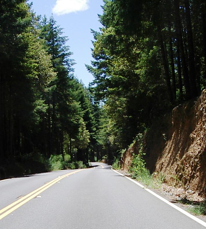
Followed by a long 7% downhill interrupted by a few flat sections
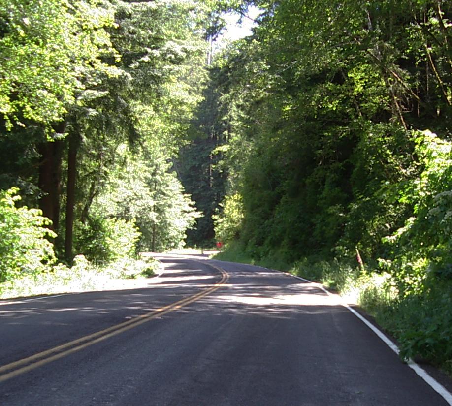
The last hill before the coast, another 500 feet I thought I had to climb
All good things must end, and, after riding down from over 1900 feet to near sealevel, I was faced with a last hill to climb. As I started up it, I saw flagman ahead signs, and figured they were doing more ditch clearing. When I got to the flagwoman, I found out that they were doing serious repairs and would be repaving this section. I also found out that I would get a ride up the hill in the pilot truck. That was good, although, this evening I discovered that I am missing the little black bag which contained my 6 in 1 USB2 card reader, its cable, a 128 MB CF card with 90% of the original images I had taken on this tour, and my backup battery for my camera. I distinctly remember where I put it this morning - a place for everything and everything in its place! - and it wasn't there this evening. It could have fallen out when the driver and I loaded my bike into the back of the pickup. I have backup systems - belt and suspenders and all that - so I'm still able to get the images from my camera onto the computer that I use when creating web pages, and I have reduced quality, but full sized, backups of all the images on that CF card stored on another card.
After getting my bike out of the truck, the driver told me it would be a while before any traffic would follow me, so I was able to ride all the way to the coast with no traffic in my lane. Since I wasn't worried about traffic, I rode in the center of the lane. That probably saved me from crashing when, just as I started down the other side of that hill, a major wind blast hit me from across the road. My hat almost blew off, and it was under my helmet! My bike and I tilted to 45 degrees as we struggled to stay on the road. The blast was brief, but the adrenaline lasted a long time! I experienced several lesser gusts later as I rode down the coast.
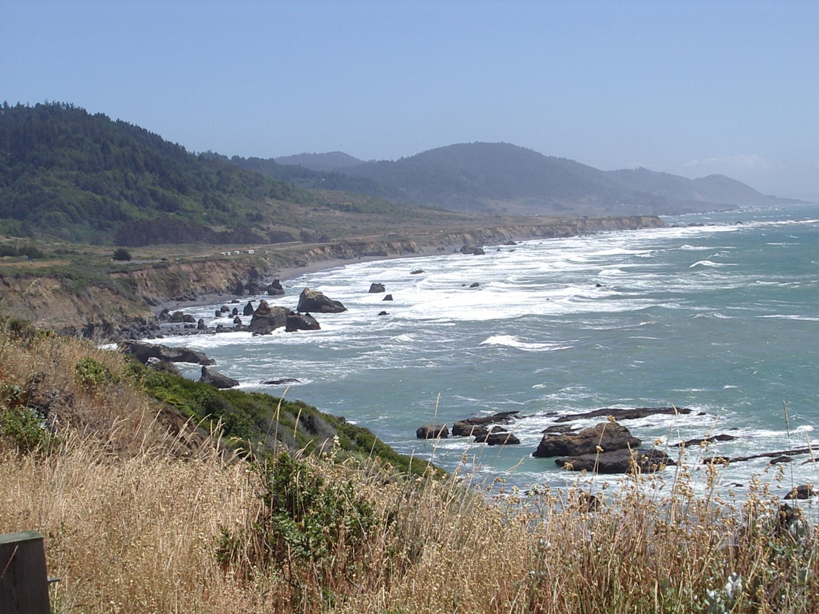
The coast above Westport
When I reached the coast, it felt harsh and desolate because of the wind. I was reminded of eastern Montana. There is great beauty in both places, but it is not a beauty that human beings fit into well. I wouldn't want to live on this coast, and, frankly, I'm not really looking forward to riding on down it tomorrow. It is, despite the great tailwind <grin>, very hard riding. CA 1 is not flat - it climbs to hundreds of feet above the water and then drops down to near sea level only to climb back up again. It does this a lot! The wind is strong from the north and gusty, especially near the ocean. The standard descent/climb means going down into a cove or inlet with a tail wind, and climbing out up a steep grade into a headwind. Oh well, at least that wind keeps me cool when I have to climb into it.
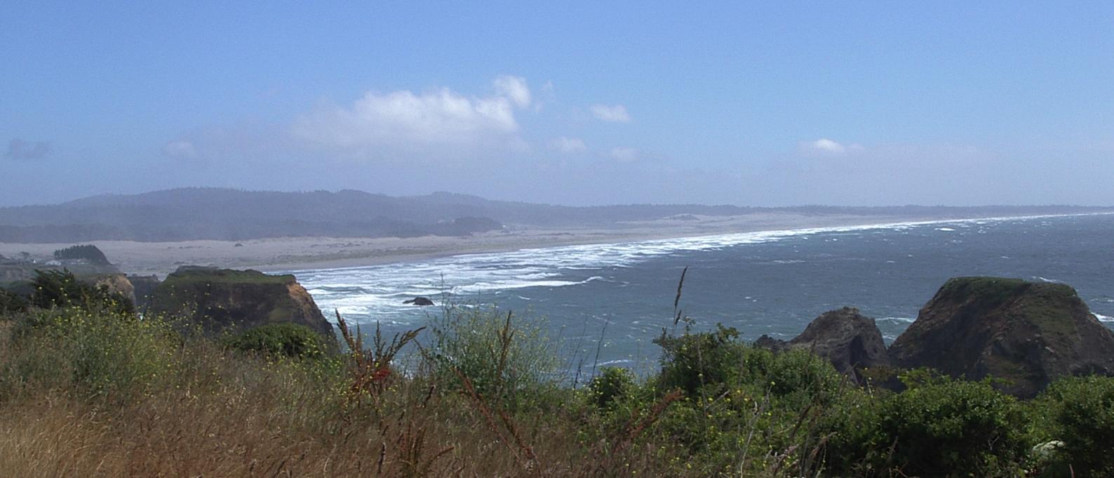
The coast above Fort Bragg
That light colored area at the right looks like a desert
I stopped for the night in Fort Bragg. I would have liked to go on for another hour or two, but there simply isn't any appropriate place to stay in the next 20 miles. Mendicino, 10 miles south, is a 'Victorian' town - very pricey to stay in. Then there is a long stretch with no places to stay. I talked with some very nice folks who work at the Fort Bragg Denny's about this, and then about where I should stay in Fort Bragg. Fort Bragg isn't a very attractive place, but those folks at Denny's sure made me feel better about staying here. I'll be back to that Denny's for Breakfast tomorrow. 'Little' things, like people who are kind and helpful, matter a lot. One of the 'little' things I didn't like about this stretch of beach was the number of keep out!, no tresspasing!, private property! signs. One of the signs seemed to imply that I was tresspassing simply by riding by their land. My verbal response to that sign was not polite at all!
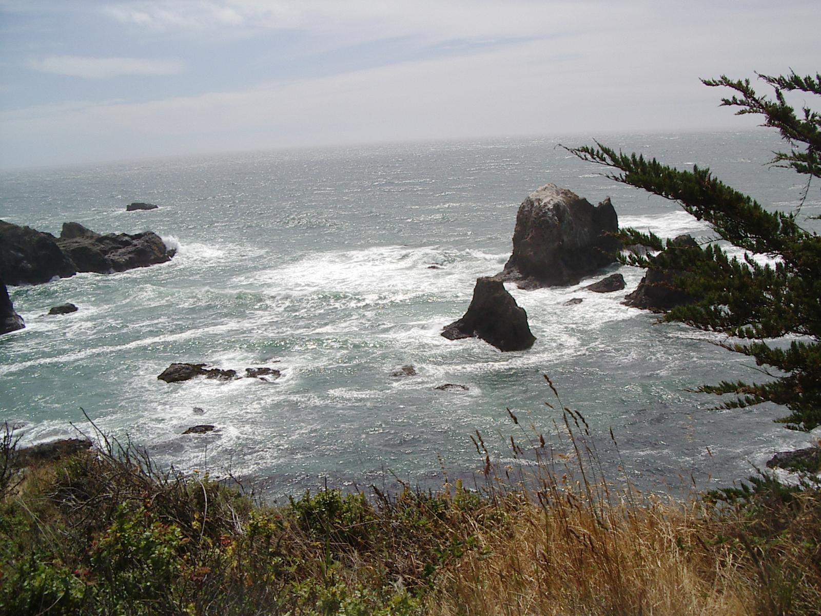
The rocks where I stopped for a break because a tree offerred shelter from the wind

Looking down several hundred feet to the ocean

A desert flower in front of a ranch on the ocean
There is beauty in this rugged land, but it is not the gentle beauty of the coast farther north or of the forests that are inland from here.