A beautiful day on the southern Oregon coast
A beautiful day on the southern Oregon coast
This morning I was not happy when I heard a weather forecast that called for a few days of chilly, dreary weather. I sent an email to my friend Kevin who I will be staying with in San Francisco, whining about the weather and the fact that I was not looking forward to today's ride. The forecast was wrong and, other than the fact that my knee - the one that was operated on - is sore from a LOT of climbing, I had a great day today.
It was not beautiful when I started south from Gold Beach
Leaving Gold Beach heading south means a big climb that starts almost immediately. This climb, up to Cape Sebastian, is about 750 feet vertical, if you go, as I did, to the lookout. It is a long grind up a 6 or 7% grade. There is a good shoulder and the climb isn't bad, at least until you turn off for the lookout. That adds about 100 feet vertical at 12 to 15%! I walked the last half of it.
Climbing Cape Sebastian on 101

Climbing to the lookout
The view from the lookout may not have been worth the steep climb, but it was pretty, and peaceful, and a good place to pee...
Zooming down the other side of Cape Sebastian was fun, if chilly. I successfully adapted to Oregon coastal weather by wearing all three pairs of socks I brought with me, glove liners under my gloves, knee warmers under my tights and a wind jacket over my long sleeved jersey when ever I wasn't climbing. I was climbing most of the day.

The beach after Cape Sebastian
The beach on the south side of Cape Sebastian was five miles of pretty, flat, riding. As I rode it, the weather was improving markedly. By the time I got to the next hill, the sun was out and the sky was blue. From there to Brookings was series of hills, 300 to 400 feet high. It felt like I was riding on the Blue Ridge Parkway except the air was chillier and the hills were steeper! By the time I got to Brookings, I had climbed about 2000 feet and my legs were tired.

One of the many fine views from the hills north of Brookings
I stopped several times in those hills to enjoy the views. There were lots of pretty rocks out in that ocean and lots of pretty flowers along the the road. The sun was shining and 101 was running up and down over the coastal hills where each time it came down there was a new beach with neat rocks. The highest bridge in Oregon, some 345 feet above the water, is in this section of 101.

The freeway before Crescent City
I stopped for lunch in Brookings, then rode on toward California. Bicycling the Pacific Coast describes 100 as 'flat' in this section. It isn't, but compared to 101 to the north of Brookings, almost anything would seem flat. The road flattens out more after it gets into California. It also loses it great shoulder and there are several stretches with 2' or less of shoulder. Since there is a lot of traffic on that section, narrow shoulders make for tense riding. Fortunately (?), 101 becomes a freeway for the last five miles to Crescent City.

Road sign at Crescent City, only 19 miles to Klamath
19, mostly steep, miles with not much shoulder
Riding, except for the stretches with narrow shoulders, was much easier in California than in Oregon. The views go away, but so do the hills. The hills return with a bang right after Crescent City! So does the scenic beauty, but, unfortunately, not the good shoulders.
I stopped at the Subway in Crescent City to snack and consider my day's destination. It was only 20 miles to Klamath, which, given my tired legs, seemed like a nice stopping point. At the Subway, the clerk gave me my drink for free saying "It's good to see a bicyclist on the road." He said he didn't understand, given high gas prices and good weather, why he wasn't seeing lots of people on bikes.
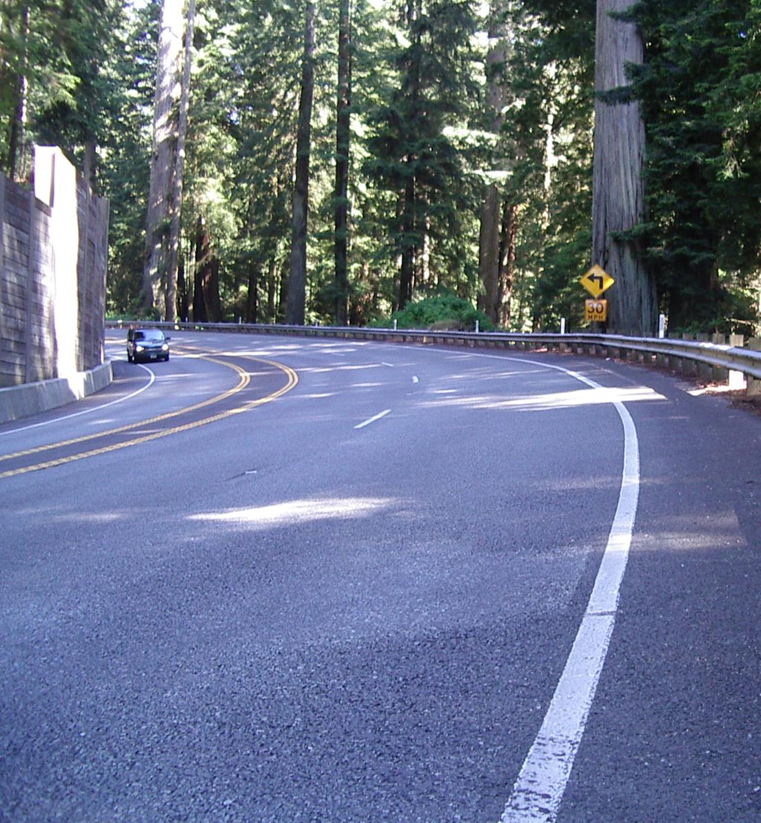
Climbing in the Redwoods
Leaving Crescent City meant climbing the hardest hill on my Pacific Coast route. As I was climbing the first 1000 feet vertical at about 4 mph in my granny gear, I realized why "Bicycling the Pacific Coast" has overnight stop at Brookings. Doing both the hills north of Brookings and the hills south of Crescent City makes for very tired legs!

My bike with a Redwood trunk behind it
101 has a very limited shoulder as it goes through the Redwoods Park. It also has moderate traffic with a good number of big trucks. This is not a ride for the faint hearted - or for the weak legged
After three summits, there is a 2 mile, 6%, downhill with nice views of the ocean There are three climbs and three summits before the real downhill back to near sea level. The total climbing is about 1200 feet and the second and third climbs are gentler than the first one. The road comes out of the big redwoods shortly after the last summit, so the views of the Pacific are nice on the way down. The road is rough in places and, at 30 - 35 mph, it can be a bit exciting.
Lagoon Creek, a mile or two after the downhill I stopped at Lagoon Creek Park a few miles after the downhill. It was lovely and peaceful to sit there enjoying the beauty and the bird and insect sounds. I snacked because I wasn't sure how far it was to Klamath, but it turned out to be quite close.
I stopped for the night at Motel Trees which is across 101 from Trees of Mystery, a Redwood oriented tourist activity. I won't be going there - I definitely prefer Lagoon Creek - but it looks like a good place.

