The road from Saint Saturnin to Sault
The road from Saint Saturnin to Sault
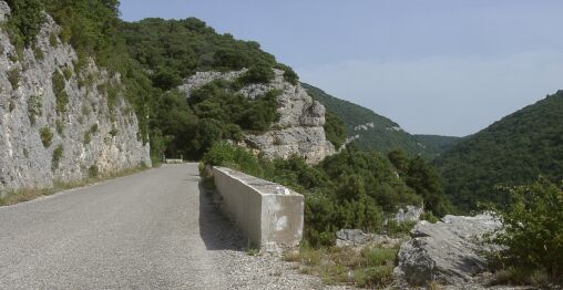
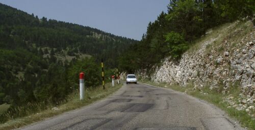
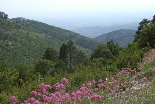
When I left Saint Saturnin this morning, I was expecting a hard climb heading over the next ridge towards Sault. I knew Sault was about 400 m higher and in the next big valley north. It looked like a hard climb followed by a relatively flat section and then a bit if a descent. Instead of hard climb, the first half turned out to be one of the most delightful rides of this tour. The road, D943, climbed gently but steadily, at about 2%, first through woods and then along the side of a gorge. There was another road running along the other side and the two come together at the end of that gorge, made a gentle climb through meadows and then continued climbing on the wall of another gorge. Great riding!
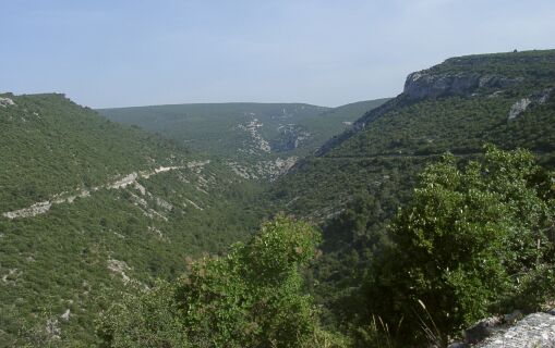
Two roads to Sault

Looking back along the second gorge - the road is on the right
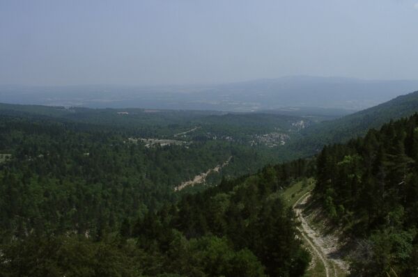
After roughly half the distance to Sault, the road went back to climbing through woods. Nice, but not spectacular like the first half. It eventually climbed to more than 800 m (from about 330 at Saint Saturnin and then descended into the lovely Sault valley. Just before the descent, Mt Ventoux came into views, and very shortly thereafter, the road was running through the first of the lavender fields that characterize this valley.
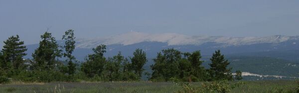
Mt Ventoux, first view
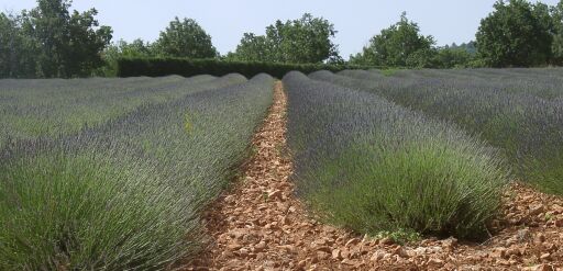
Lavender Field for Marylin Hastings
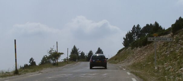
He is Belgian, spoke English well, and has toured all of the world, including the US, India, Australian, Asia, and Europe. This guy made me feel like a wimp. He rode Death Valley in August on dirt roads during the day. He rode across the Australian outback during their summer. He rode across southern India in the summer. This guy is into serious heat and to riding where other tourists, and even the local, have better sense than to bicycle. He said Ventoux wasn't all that great a ride, but it was worth doing once. At that point, I had no excuse for not riding Mt Ventoux today.
I've adopted a French style for lunch, i.e. I make it the main meal of my day and eat it liesurely. In Sault, as in Eguilles yesterday, I stopped at a nice restaurant and had, by French standards, a light meal. The standard French lunch has four courses and takes two hours to eat. It would also make bicycling very difficult for the rest of the day! I have a single course with bread and wine and finish with an expresso. I enjoy watching the French eat part of their meal while I eat mine. Today I had a plate of Tortellini, a basket of bread and a quarter bottle of red wine. I rode away full, but not stuffed and had no, food related, problem riding up Mt Ventoux after lunch.
A bicyclist coming into Sault from Mt Ventoux
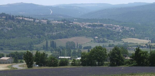
Sault, seen from across the valley on the road to Mt Ventoux
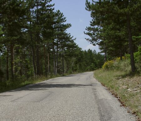
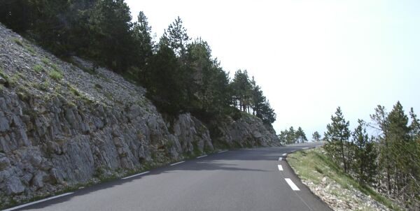
The initial climb
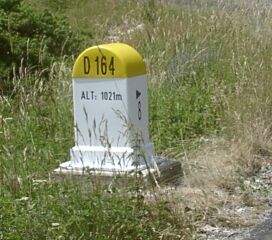
It got steeper at this marker
The prettier, flatter part at 1250 m
The view from 1260 m, Sault is in the middle
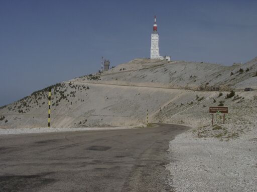
The start of the steep climb at 1500 m

This is hard work!
The final, very windy, stretch
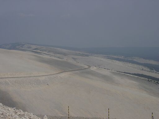
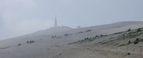
Looking back, the weather was not just windy, but also hazy at the top
It was much clearer, but still very windy, on the other side
This section of road is smooth and nice, but, with a 10 or 12% sustained grade
and nothing to keep me from flying off the upcoming corner, it needs to be ridden with respect
Mt Ventoux is the southern most edge of the Rhone Alps
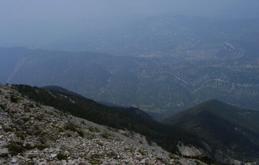
The view to the north is very impressive
Looking down the valley towards Malaucene