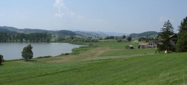
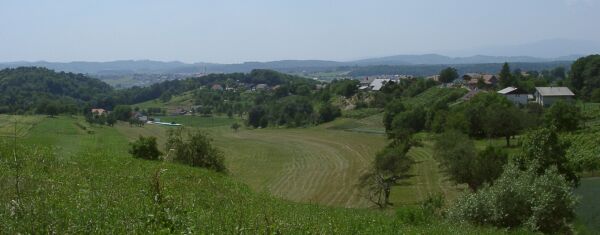
Slovenia, a pretty place
Slovenia, a pretty place
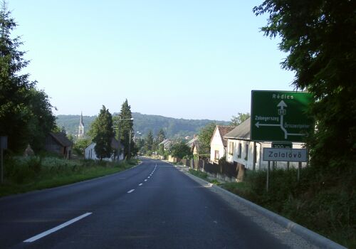
Coming into Zalalanovoa Hungary before 7 AM this morning

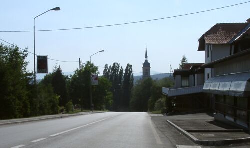
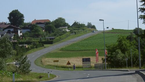
Looking back in Zalalanovoa after climbing out of the valley
My morning started very early. I got up at 5:30 and was on the road before 6:15. Since I knew I neded to do a long day, and since I also knew it was more than 25 miles to where I would eat breakfast, I used the last of my bread, along with some Nuttella and some apricot preserves, to make breakfast before I started riding. Since I had had a good super the night before, that sufficed to get me to the Hungarian border town of Redics where I had another meal. I got there in less than two hours, riding through a very pretty part of Hungary. There wasn't much traffic and the contryside was hillier and pretty than farther north. Zalalanovoa, which I had expected to be a good sized town since it is at the intertsection of two roads, turned out to be in a 100 m deep river valley and quite pretty. If I had known that, I could have ridden there, helped by the storm front winds, yesterday.

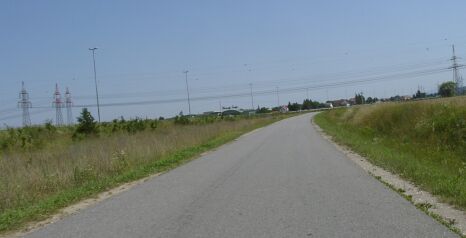
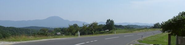
Riding south of Zalalanovoa
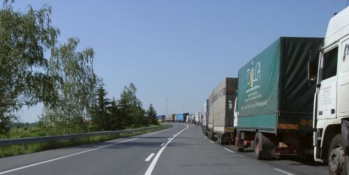
Trucks lined up for almost two Kilometers at the border
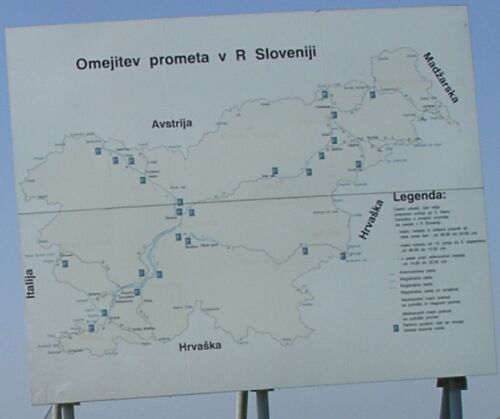
Map of Solvenia just inside the country - Hungary is Madzarska
My route goes up to near Austria then down and across the middle of the country
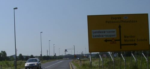
After only four miles, it is time to turn west to avoid going into Croatia
I was greeted by a no bicyles sign as I rode into Slovenia, but the police, who were near that sign, didn't seem concerned that I was breaking the law. Four miles later, after I turned west on 10-1 (according to Autoroute - it seems to be 3 on the, not easy to see, local signs) the no bicycling signs were only present when there was a bike path. I still ignored them when the bike path was worse riding than the road and I saw local riders doing the same.
The bikepath between towns was usually quite good
In towns it wasn't so good, mainly because of the driveways
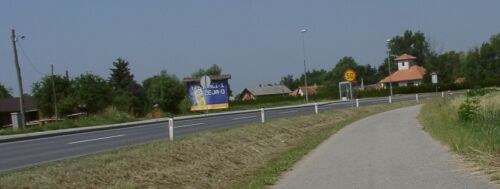
I followed 10 (or 3) up to Murska Sobota. I had an unpeasant surprise when I tried to get some Slovenian money in a town along the way: my ATM card doesn't work in Slovenia. Since it was Saturday, I couldn't stop at a bank and get a Visa cash advance, so I had no way to get local currency! In Murska Sobota, I stopped at a service station and found that they would take Euros. I got an icecream bar and a .5 l coke for two Euros. Since I had about 65 Euros, and this is a relatively inexpensive country to stay in, I should be OK. Later, at Lenart, a service station gave me 2500 Sit (that is about 10 Euros) on my Visa card, so I'd have some small local currency for those places that don't do Euros.
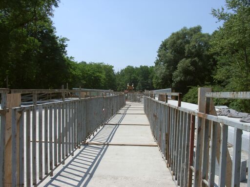
The bridge north of Radenci - bikes and pedestrians only!
I had another good bit of luck just before Radenci, I saw the sign had Radenci crossed out - meaning you can't get there from here - but I followed the road anyway. Detours, with a weak map and no command of the local language can be very problematic! At the bridge, the road was closed, but they had provided a path over the bridge for pedestrian and bicyclists. I was able to continue without having to find another bridge over the river.
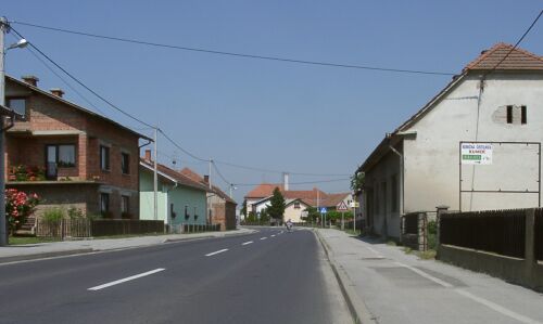
Pretty countryside in northern Slovenia
The second major town on my route was Maribor. I had to ride under the autoroute, like I was getting on it, then take a hilly road to Maribor. In Maribor, which is a big town, I headed into the Centrum. There I found a place to eat that took Visa, saving my cash, and got advice (mostly in German, but some English) on the road to Celje. It was "straight on down that road for 60 km." since I had already covered almost 150 km and it was 4 PM, I really didn't expect to make it to Celje. Moreover, the afternoon wind from the south had kicked in and riding south was a lot slower. I had been averaging about 14 mph - very good for a loaded bike - but it was hard work to do 12 mph into that wind.

The center of Maribor
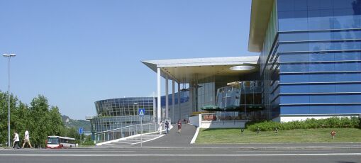
Maribor's very fancy shopping center
Bike path which becomes a road, paralleling the expressway
I actually ended up riding, briefly, on the no bikes autoroute on my way out of Maribor. It wasn't bad, but as soon as I saw the bike path that paralleled that road, I got on it. After a few miles of grinding into the wind, it became a road. I guess this was the old road to Celje. It was hilly and windy, and I was tired, but it was good riding. At Slovenska Bistrica, the next big town down the ( still called 10-1 by Autoroute, but with a 400+ number on the markers), I saw a nice looking penzion (place with rooms, but I had only done 95 miles so I pressed on. Three miles later, I began to doubt the wisdom of that decision when the road took a turn away from the expressway and decidedly upward. It was 50 meter high hill with a better than 10% grade. I stopped before that hill to rest and hydrate before attempting it.
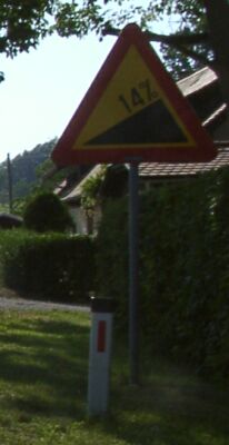
Coming into Slovenska Bistrica - things are getting hillier
Now that is a steep little hill

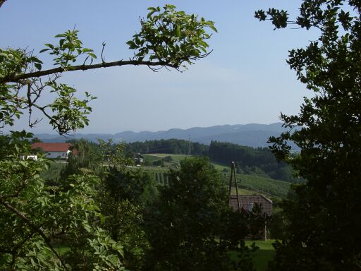
The view from my window