Day 45 Brevort to Wallon Lake Michigan
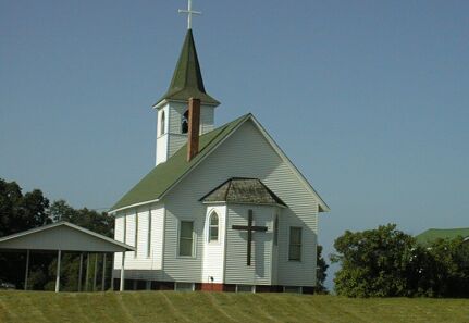
The Chapel across from the Chapel Hill Motel
This was a short day at a bit over 70 miles with 2000 feet of climbing, in part because I've been doing long days and needed a break, in part because the weather was very threatening this afternoon, and in part because riding through Petosky MI wore me out. The fact that riding in the LP has been consistently 4 (or 5) H didn't help. Hot and Humid weather, in Hilly country, with Headwinds, and, sometimes, Heavy Traffic do not make for easy riding. I was planning on getting to Boyne Falls, seven miles south of here, but stopped here when it started to sprinkle as I passed this motel. Since there is a forecast for severe weather, I took those sprinkles seriously.
My day started with an improvised breakfast in my room at the Chapel Hill motel. I wanted to do some things on the web before I left, and I was in no hurry to get out of the cool of my air conditioned room and back into the mugginess outside. That room was very nice and very comfortable, and its air conditioning worked considerable better than the air conditioning in my room tonight does. I left about 10 AM, heading for St Ignace and the Macinac Bridge. My first goal was a second breakfast, but the ride to St Ignace was good enough to take my mind off eating. US 2 runs right along Lake Michigan for most the way between Brevort and St Ignace, which made for nice views, cooler riding, and a cross wind. I stopped, after fifteen miles or so, for a snack from the last of my supplies at a view point for St Helena island. A beautiful place with a great views of the island and, though the haze, of LP Michigan.
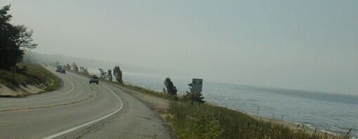
US 2 running along Lake Michigan, note the haze
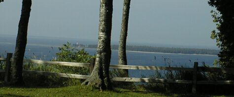
St Helena Island
My next stop was at a Bob's Big Boy restaurant for breakfast. They had a good breakfast buffet and they seated me at the window where I parked my bike. That window was next to the last booth in the front corner of the restaurant where a couple was seated with their middle aged, severely handicapped, son. It was a good time to reflect on the luck of being able to ride my bike across the continent.
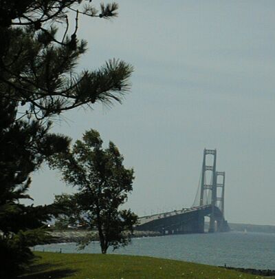
The Macinac Bridge connecting the UP to the LP
The different part of today's ride was getting across the Macinac Bridge which does not allow bicycle or pedestrian traffic. After breakfast, I stopped at a Family Dollar store to replenish my supplies - a four pack of applesauce cups and a box of 8 pop tarts for $2.75 makes four good snacks - and then rode onto I-75 - the bumpiest shoulder of the day - and up to the booth at the side of the toll gates. This was the booth for trucks, but it was open and, unlike the other booths, had a good place to lean my bike. The other option would have been to cross six lanes of traffic to get to the main building. I didn't want to attempt that!
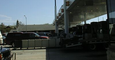
Looking across the toll booths
The lady inside told the folks that she was already talking to about a problem truck that I needed to get across, and, ten minutes later, a pickup truck arrived to carry me and my bike across for $2. While riding across, I visited with my driver whose full time job is getting people like me across that bridge. He was very pleasant, but not happy about the annual ride where hundreds of bicyclist cross the bridge on there own. He felt that someone was likely to get killed doing that because the great variation in rider speed - they require riding two abreast and no passing - meant big gaps that cars, illegally, would pull into to pass other cars. He was afraid that one of those cars was going to run into a group of riders, or that a rider, passing illegally, was going to get hit by a car.

The truck and driver after he dropped me off
When I got to Macinaw City, I headed into town - not a very big town - and then west on Central Avenue. That looked like the way to go on my Delorme mapping software, and turned out to be a good route. I followed two local cyclist for few miles - into the wind, fairly strong from the west - southwest, and through a construction detour - until they turned intoa park.
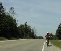
West Central Ave
West Central Avenue ends at Wilderness Park Rd, which is also C 81. I followed that county road almost all the way to Petoskey!
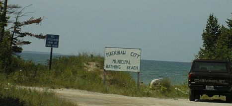
The beach on C 81
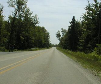
C 81 in all its ruralness
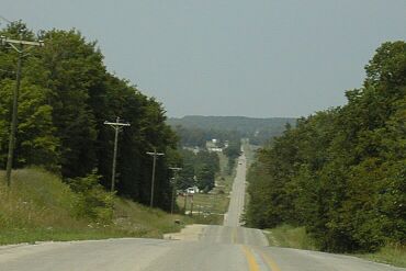
Looking back at C 81 in all its hilliness

And last, and least, CR 81 with shoulder, traffic, and dark sky
Although it was shown, not too accurately it turned out, on the state map, I wasn't really sure about the route until, about eight miles from Mackinaw City, I stopped at the camp store before Wilderness Park. The store owner was really helpful in routing me and that was when I decided that Boyne Falls was a good destination for today. Later, after C 81 got really hilly - that straight line on the map just meant the road went straight over those 200 foot high ridges ! - I considered stopping at Petoskey instead.
I stopped for lunch at a very nice grocery / deli / convenience store at the intersection of C 81 and C 64. I wondered what such a nice new store was doing out there, but soon found out that C 81 - which is Pleasant View Rd in that part - is now a main route from Petoskey to Mackinaw City. The traffic really didn't get that bad until I got to the section of C 81 that has been developed as upscale condos for Harbor Springs, and by that time, C 81 had a good shoulder.
Unfortunately MI 119, which takes you into Petoskey from C 81 has a mile or two of construction where there is no shoulder. I was not happy on that road, but didn't have any real problem. It was just heavy duty suburban riding. That mode of riding returned big time in Petoskey and lasted for way too many miles. It was four lanes sometimes and two lanes other times, mostly bumper to bumper, sometimes with a shoulder, but usually without. When there was no shoulder, the lane was almost always wide enough for me and a reasonably wide vehicle, e.g. the two log trucks and the several semis that passed me, along with countless cars, pickup trucks, and SUVs.
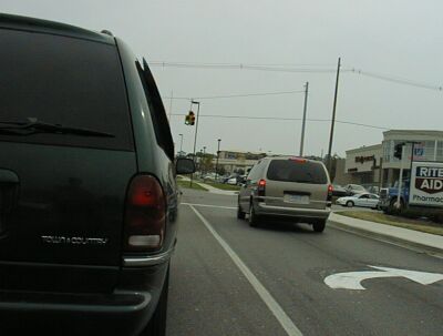
My reaction to Petoskey was "Get me out of here!" Any thought of staying there vanished in that horrible traffic. Fortunately, the storms, which were building as I cycled south towards Petoskey, fizzled out before I got there, so I had the option of continuing on, although only after riding through that town. Yuck!
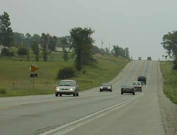
Waiting at the light where US 131 goes south from US 131
I stopped a few miles after I got out of town for a snack and some recovery time. US 131 was like a much hillier and much busier US 2. I could deal with it, even if it wasn't a lot of fun. Even relaxing by the side of the road was hard because of the noise, so I put my left earplug in before I rode on. Five miles later, it started to sprinkle, and, after a brief stop by the side of the road to make a decision, my day was over. I watched the 6 PM local weather as I was registering and saw that it had rained behind me, but that, as of that time, no severe weather had broken out. Maybe it will storm tonight or tomorrow morning, and hopefully, the hot, hazy, and humid weather I've been riding in since I got back to the US will be replaced by cooler, dryer weather.