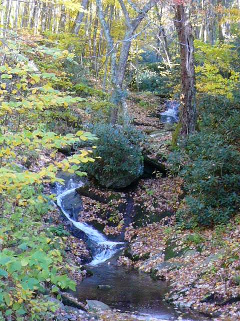
 A small stream next to FS Road 63 which runs from near the Blue Ridge Parkway to Dillingham
A small stream next to FS Road 63 which runs from near the Blue Ridge Parkway to Dillingham I took advantage of the fact that the Parkway is closed just north of the Craggy Gardens Picnic Area to do a "leaf season" ride up to the barrier and then ride down the Forest Service to Dillingham.
I've learned to stay off the Parkway in leaf season since riding then can be unpleasant and even dangerous because of heavy traffic and impatient drivers. However, with the blockage, the traffic was more like a normal weekend day than normal leaf season traffic, so riding from Asheville to Craggy Gardens was pleasant.
I rode a few blocks from my house to Beaverdam Rd and then out Beaverdam to Webb Cove Rd. I don't usually ride up Webb Cove to go to the Parkway, even though it is the shortest route and has the least climbing, because most of it is a dirt road which is often covered with really large gravel. Since I was planning to go down another dirt/gravel road, I was riding my touring bike which can handle the gravel and the corrugations on Webb Cove.
The, paved, start of WebbCove
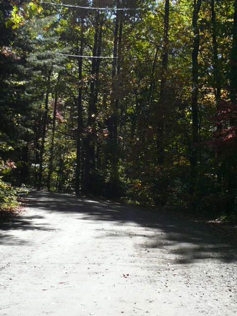
The dirt with gravel and corrugations part, but the gravel was minimal this time
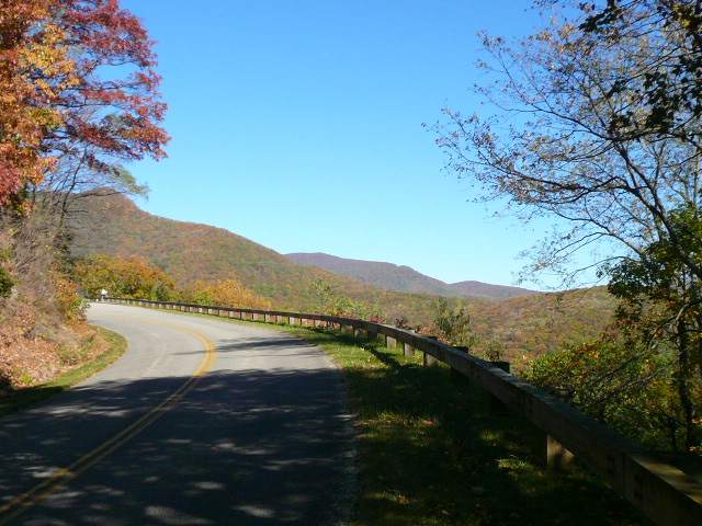
The Parkway, with fall color up to about 4500 feet
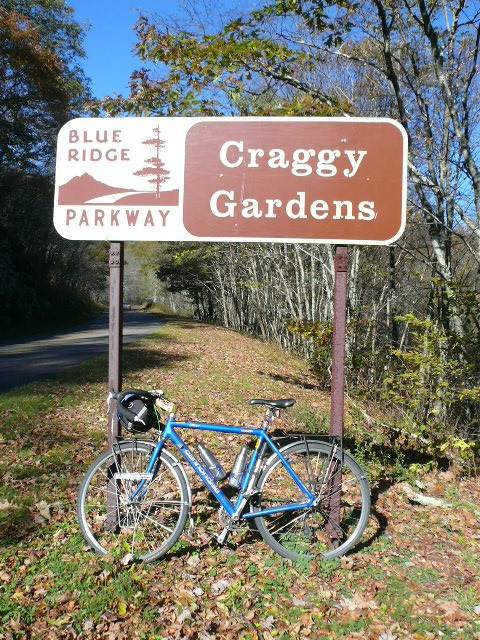
My bike at the south end of Craggy Gardens, about 16 miles, and half a mile of climbing, from my house
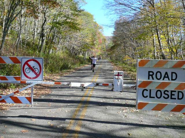
The barrier blocking the Parkway just after the road to the Craggy Gardens Picnic Area
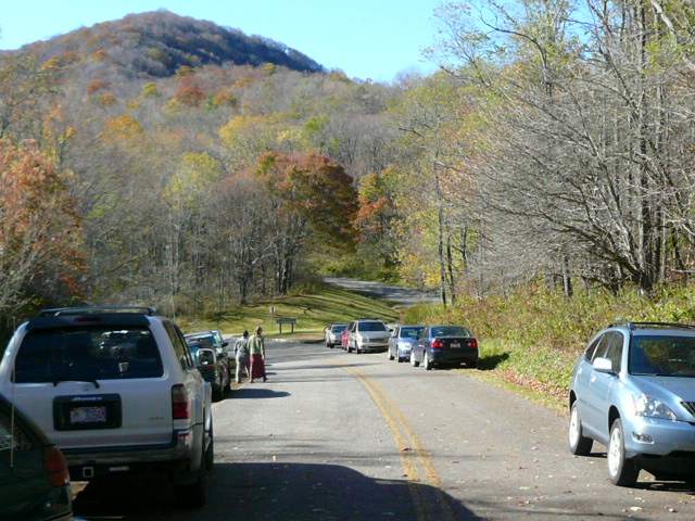
Looking back from the barrier to the road to the picnic area
Lots of people had driven up
to walk, or run, on the closed Parkway
I stopped at the south end of Craggy Gardens to snack and rest briefly, then I rode on to the barrier before turning around and riding back to the road that goes to the picnic area. When I photographed the barrier, two men were running down the Parkway towards me. They passed me as I photographed the cars parked at the barrier and I passed them as I turned to ride up the road to the picnic area. Then I had to speed up a little as I climbed to the top of the Blue Ridge since they were running right behind me and it would have been embarrassing to be passed by runners ;-}!
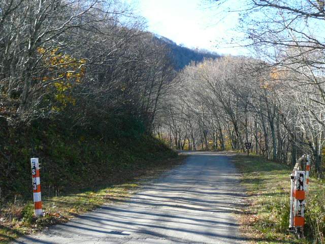
It only about a quarter mile up to where the Forest Service road goes off to the left, heading down the other side of the Blue Ridge to Dillingham.
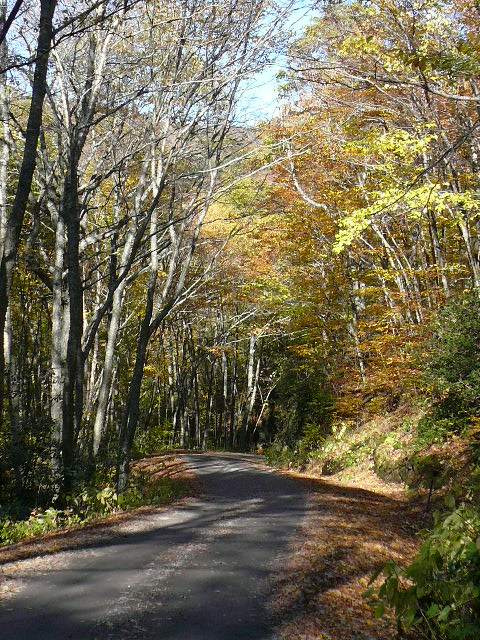
The Forest Service road is a steep single lane dirt/gravel road which switchbacks down the mountain until it reaches a creek that it follows the rest of the way to Dillingham. It is a great ride any time when it isn't snow covered ;-}, and really spectacular in leaf season.
Wow! This is very nice bicycling
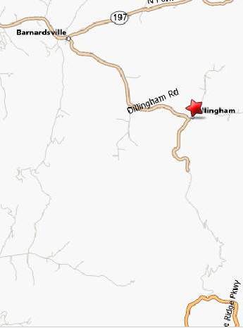
A map showing the FS road from the Parkway to Dillingham and the road to Barnardsville
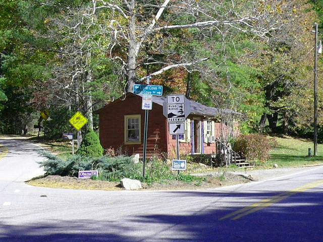
The last few miles of the road to Dillingham are paved. The road ends just after the Dillingham Presbyterian Church. I turned left toward Barnardsville.
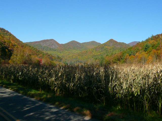
The view from the paved section of the road a mile or so before Dillingham
Dillingham is in a very beautiful valley
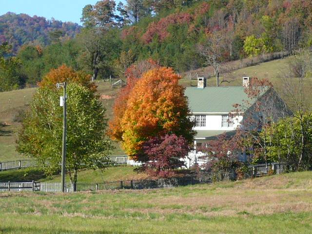 A farm on the road to Barnardsville
At Barnardsville, I turned left onto 197 and rode it to Old Mars Hill Rd just north of Flat Creek. I turned left again and rode through Flat Creek to Weaverville. From Weaverville, I rode Bus 19 back to north Asheville.
The total loop distance is just over 40 miles. The only services are in, and between, Barnardsville, Weaverville, and Asheville.
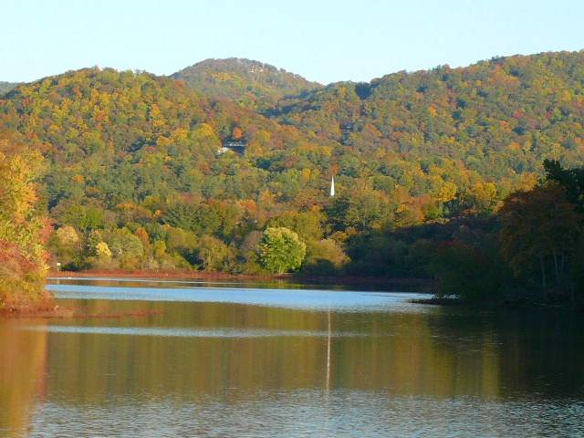
I took this shot of Beaver Lake, near my house, on my way home